This week will feature some of the warmest weather we’ve seen in a long time – it’s about time!
Early Week
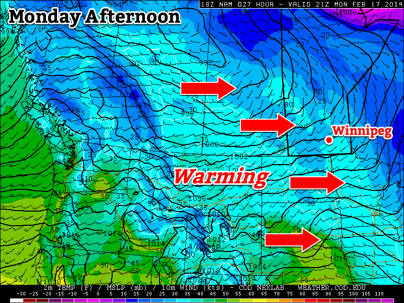
Today will see temperatures climb up towards the freezing mark in southern Manitoba. That will make for messy roads, but that’s the price you have to pay for warmer weather. The wind will be light and from the west to south-east, making for a great day.
Tuesday will be very similar to Monday, with temperatures once again near zero. There will be a breezy west wind, but otherwise it will be a very nice day.
Wednesday looks to remain seasonably warm, with high temperatures once again, you guessed it, near zero. However, a low pressure system will move towards the region on Wednesday, bringing increasing clouds and a chance for flurries by late in the day. Thankfully, major snow accumulations are not currently expected with this system.
Long Range
That low pressure system from Wednesday will pull down another cold airmass for the late week period. As a result, long-range models suggest we’ll see a colder pattern lasting at least through next weekend.