After a cool Monday, Winnipeg will undergo a slow and steady climb back towards seasonal temperatures under variable cloudiness.
Today will be the coolest day of the upcoming week in Winnipeg as an Arctic ridge moves through the region, bringing high temperatures -17°C. Winds will remain light through the day, but Winnipeg will see clouds work in through the afternoon from the south as a storm moving through the Northern Plains spreads clouds well northwards of its path. Temperatures should dip to a cool low near -22°C tonight with a fair amount of cloud remaining over the city.
Cloudy skies will remain over the city on Tuesday as a weak warm front pushes into the region from the northwest. Temperatures will be quite a bit milder than Monday with highs forecast to climb to around -12°C with light northerly winds continuing. We may see a bit of non-accumulating light snow through the day as temperatures hover right in a favourable zone for spontaneous snowflake creation, but nothing particularly notable is expected. Temperatures will dip to a low near -21°C on Tuesday night under clearing skies and a light west-southwest wind.
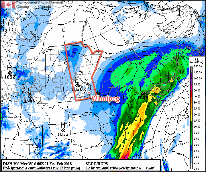
Wednesday looks to bring the sun back to Winnipeg with just a few clouds around as another low pressure system tracks through central Manitoba. Temperatures will continue trending warmer with a high near -10°C and winds will continue out of the southwest at 10 to 20 km/h. Skies should remain mainly clear on Wednesday night with a low near -17°C
Long Range Outlook
It’s finally looking as if the persistent polar vortex near Southampton Island in Hudson Bay that has resulted in steady north-northwesterly flow over much of the Prairies – and associated cold air outbreaks – is finally going to be shifting off to the east and weakening this week.
This will allow temperatures to moderate from the well below-seasonal values Winnipeg has seen for so much of February; by the end of the week, high temperatures may climb slightly above-seasonal! The warm weather won’t be coming with much of a risk for precipitation either, so all in all, it looks like a gradual moderating trend towards seasonal to slightly above-seasonal temperatures!
Winnipeg’s seasonal daytime high is currently -7°C while the seasonal overnight low is -17°C.