Winnipeg will continue to see unsettled conditions as a relatively humid airmass builds into the region.
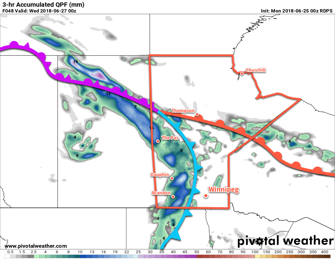
Cloudy skies move into Winnipeg this morning as an upper-level disturbance drifts northwards in the southerly flow that has developed over the region. As it pushes into the Red River Valley, there will be a chance of showers alongside noticeably increasing humidity. The potential for rain will come in two waves: the first will be early this morning, then a second chance will develop this evening. There is a slight chance that there may be some thunderstorms in the second batch, but no significant threat exists for Winnipeg. Temperatures will be cooler than seen lately with a high near 24°C. Winds will be a bit breezy out of the southeast at 20 to 30 km/h.
Skies will become mixed overnight with a low near 18°C and winds continuing out of the south at near 20 km/h.
Tuesday will bring yet another chance for showers or thunderstorms, but not before the city experiences a hot summery day. Partly cloudy skies in the morning will become mixed in the afternoon as daytime heating begins producing more cloud cover. Temperatures will climb to a warm 29 or 30°C, but with the humidity it will feel closer to the mid-30s. Winds will once again be out of the south at 20 to 30 km/h. In the evening, a cold front will sweep through the Red River Valley.
This cold front will bring the threat of severe weather to southwestern Manitoba, but at this point it’s unclear as to exactly how the evolution of any thunderstorms will progress as they move into the valley and the evening. Winnipeg will likely see a good chance of showers or thunderstorms, and there may be a small chance for severe thunderstorm activity continuing along the cold front into the evening.
The cold front will push its way through the Red River Valley overnight as temperatures drop to a low near 16°C. Once the front passes, drier will begin moving into the region and skies will start to clear out.
Wednesday will be a beautiful summer day in Winnipeg: a high near 26°C, comfortable humidity, a bit of a northwesterly breeze, and plenty of sunshine. Skies look clear on Wednesday night as temperatures dip to a low near 16°C.
Long Range Outlook
The unsettled weather isn’t gone for long, though. Another low pressure system moving into the Dakotas will bring warmer and seasonably humid conditions back to Winnipeg on Thursday.
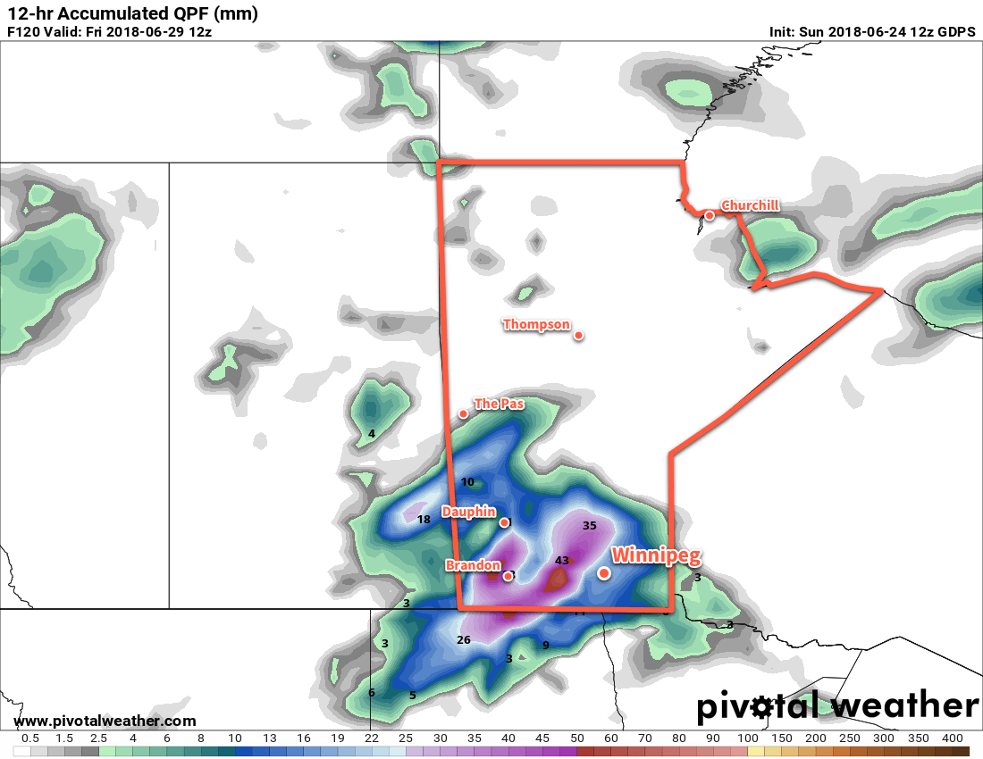
On Thursday night, early forecasts are showing a good potential for thunderstorm activity across much of southern Manitoba with the low-level jet associated with the developing low pressure system supporting an area of nocturnal convection. Friday rounds out the work week with mostly cloudy skies and more chances for showers as another disturbance rolls through the region.
Winnipeg’s seasonal daytime high is currently 25°C while the seasonal overnight low is 12°C.