Sunshine returns to Winnipeg today as warmer air beings moving back into the province. Conditions will be relatively pleasant – albeit windy on Thursday – with the only chance for rain expected overnight Thursday as a cold front moves through.
The upper trough which brought more cloud and showers to the province yesterday will move out of the region this morning, bringing an end to the showers as skies clear. Temperatures will remain slightly cool today, though, with Winnipeg’s high expected to reach 21°C. Winds will be light out of the west through the day. Skies should remain mostly clear tonight as the low dips to around 12°C with 20 to 30 km/h winds developing out of the south.
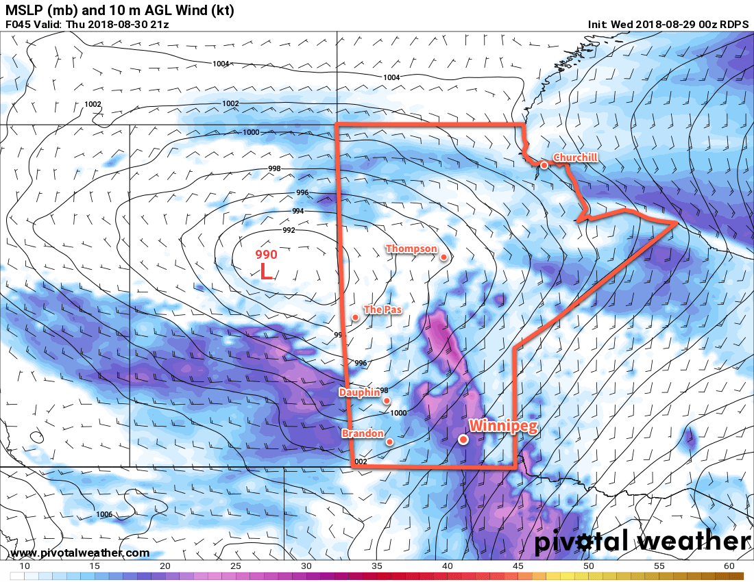
Thursday will bring warm temperatures back to Winnipeg as the high climbs to an above-seasonal 28°C. Unfortunately, the warmth will come with moderate southerly winds strengthening to 40 gusting 60 km/h. The Red River Valley will see a few clouds through the afternoon.
Heading into Thursday night, Winnipeg will see a slight chance of thunderstorms along a cold front moving through. It’s one of those situations where the best support for thunderstorms appears to be both north and south of Winnipeg, so we’ll just have to see if any manage to develop near us. If thunderstorms develop, there will be a slight risk of severe thunderstorms with the main threat of large hail and damaging winds.
Going over the MIST ingredients:
- Moisture: A strengthening southerly flow will develop over southern Manitoba on Wednesday night, sourced from the central Plains. This flow will result in significant moisture transport northwards, evidenced by surface dewpoints increasing from the high single digits on Wednesday night into the mid-teens on Thursday afternoon. Moisture should be rather deep given the general large-scale transport expected to occur.
- Instability: Instability will be moderate with MLCAPE values of 1000-1500 J/kg expected to develop Thursday afternoon. The cold front will sustain the instabilities it pushes eastwards overnight with most models maintaining 1000-1500 J/kg of MUCAPE.
- Shear: Moderate shear will be in place with 30-40 kt of effective shear. Profiles show favourable directional shear within the effective layer with south-southeasterly winds near the storm base veering to southwesterly aloft.
- Trigger: The cold front pushing east-southeast should provide the focus for thunderstorm development.
These parameters favour strong to marginally severe thunderstorms that could persist along the cold front for much of the night. Due to the favourable shear profiles, discrete thunderstorms may develop early in the event lifecycle upscale growth transitions the storms into a multicellular line. Marginally severe hail of 2-3 cm appears possible with these thunderstorms, along with wind gusts of 80-100 km/h.
Behind the cold front, winds will diminish as skies clear and temperatures drop to a low near 13°C.
Friday will bring settled, pleasant weather to Winnipeg. The high should climb to around 23°C with west northwest winds of 20 to 30 km/h. Temperatures will dip to a cooler low near 10°C as a weak ridge of high pressure moves in overnight.
Long Range Outlook
Winnipeg’s weekend is looking fantastic with sunny to partly cloudy skies and temperatures in the mid-20s. Winds don’t appear that they’ll be much of an issue, either. All in all a great way to start September!
Winnipeg’s seasonal daytime high is currently 23°C while the seasonal overnight low is 10°C.