Winnipeg will continue to see seasonably cool temperatures with more cloud cover on the way.
A major winter storm over the American Plains will dominate the weather story for the entire region over the next few days. While Winnipeg and the Red River Valley won’t see any precipitation from this system, it will still shape conditions here for the rest of the week.
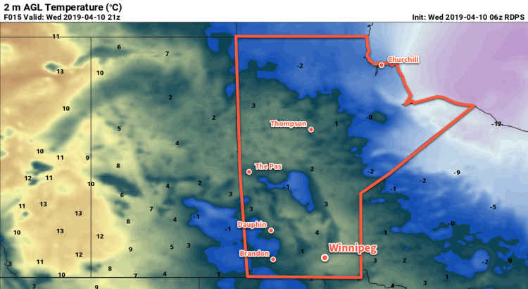
Today, the city will see mixed skies with scattered flurries as a band of cloud pushes westwards across the region. Northeasterly winds near 20 km/h will keep temperatures cool today with a high near 5°C. Variable cloudiness will continue tonight with temperatures dipping to around -5°C.
Winnipeg may see a bit of sun on Thursday morning, but clouds will push northwards from the U.S. into the region through the day. Once the skies cloud over, it’ll stick around right into the weekend. Both Thursday and Friday will bring daytime highs near 5°C with continuing northeasterly winds. Both Thursday and Friday nights should bring near-seasonal lows around -3°C.
Long Range Outlook
Some sun should finally poke out on Saturday and stick around for the rest of the weekend. Temperatures will return to seasonal values making for the return of pleasant spring weather!
Today’s seasonal daytime high in Winnipeg is 9°C while the seasonal overnight low is -3°C.