A series of disturbances moving through the region today will bring showers to Winnipeg and send temperatures back below seasonal values for the weekend.
Today will start off with cloudy skies and a few showers moving through the city. These showers are the product of a low-level jet1 moving eastwards through the region. It will move off by mid-morning, but a trough of low pressure moving through later in the morning might trigger a few more showers as it passes by. The city should see mixed skies for the afternoon as temperatures climb to a high near 14°C. It will be a bit breezy today with south 30 gusting 50 km/h winds turning southwesterly and easing a bit this afternoon. Another disturbance will roll through the region a bit later in the evening, dragging a cold front eastwards with it. This will bring another chance of showers to the city this evening and overnight. Temperatures will head to a low near +3°C.
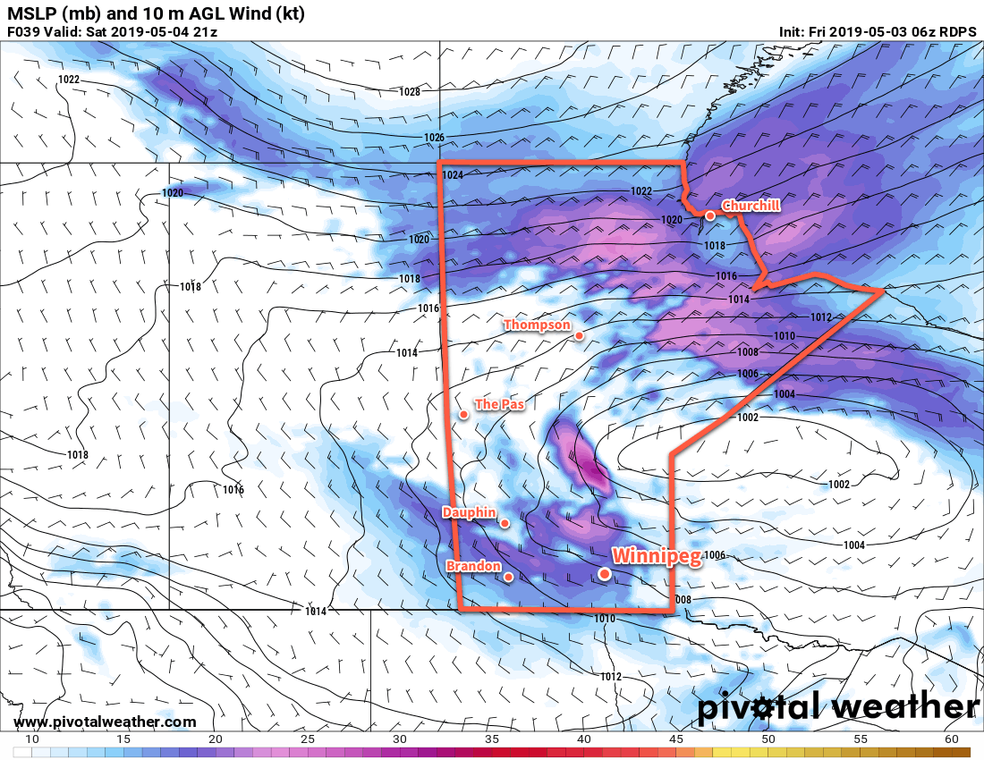
On Saturday, Winnipeg will see windy conditions and cool temperatures. Behind the cold front that will move through overnight, winds will strengthen out of the west into the 30 to 40 km/h range with gusts up to 60 km/h. These winds will gradually turn northwest as they usher in a cooler air mass. Temperatures will be back to below-seasonal values as the city heads to a high of just 11°C. Skies will clear out for Saturday night with a low near -2°C.
Sunday will bring partly cloudy to mixed skies with northerly up to 20 km/h as a ridge of high pressure moves through the region. Mixed skies will continue Sunday night as temperatures head to a low near -1°C.
Long Range Outlook
Next week will start with a chance for some rain on Monday night, but afterwards it looks like the city will see generally mixed skies and a gradual return to seasonal temperatures.
Today’s seasonal daytime high in Winnipeg is 17°C while the seasonal overnight low is +3°C.
- A low-level jet (LLJ) is an area of fast-moving air in the lower atmosphere. They generate lift which can initiate and support precipitation. ↩