Winnipeg will see a major shift in temperatures this weekend that will mark the start of a long stretch of colder weather.
A series of passing lows will keep Winnipeg cloudy heading into the weekend with a couple of chances for flurries. A brisk southerly wind will develop this morning, increasing into the 20 to 30 km/h range. This cool outflow from a departing ridge will keep temperatures slightly cooler again today with a high eventually reaching -6°C. An approaching shortwave will bring a chance of flurries to the region later this afternoon into the evening. Skies will stay cloudy overnight with a chance of flurries as temperatures dip to a low near -10°C. The winds will ease in the evening.
Winds will pick up out of the south again on Saturday as an organized clipper system arrives. The city will see a chance for some light snow as a warm front moves through in the morning. Winds will pick up out of the south into the 30 to 40 km/h range in the morning as temperatures head to a high near -1°C. The wind will ease late in the day.
The major pattern shift begins on Saturday evening as a cold front sweeps southeastwards across the province. It will push through, bringing a bit of light snow and then ushering in northwesterly winds of 30 to 40 km/h. There northwest winds will be pushing in much colder air sourced from a large Arctic high moving into the Prairies. Temperatures will dip to a low near -17°C on Saturday night.
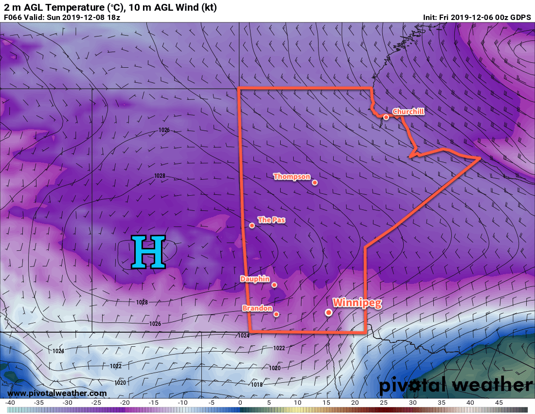
Temperatures will barely recover on Sunday as skies clear out and winds gradually ease through the day. The Arctic high will push into the southern half of the province on Sunday night, sending temperatures into the low minus 20’s overnight.
Long Range Outlook
Unfortunately, there is little improvement for Winnipeg in the medium-range forecast. Cold weather will continue to persist for several more days.
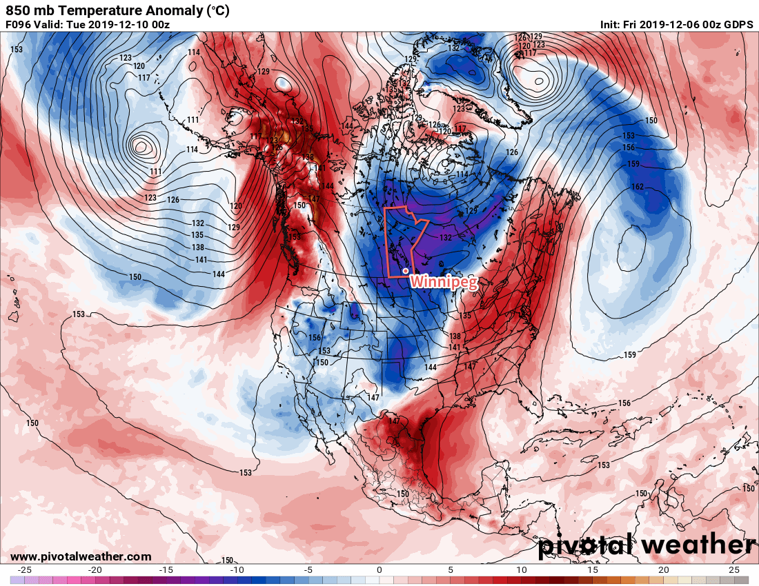
The city will spend much of the week with daytime highs near -20°C and overnight lows in the mid- to low -20’s. Wind chills will also begin to move into hazardous territory with values in the -30 to -40 range possible during the nights.
Moderation towards seasonal temperatures should occur near the end of the week.
Today’s seasonal daytime high in Winnipeg is -8°C while the seasonal overnight low is -17°C.