Winnipeg will enjoy mild temperatures through much of the rest of the work week with the occasional chance of showers or thunderstorms.
Today will be another warm, sunny day in Winnipeg with temperatures climbing to a high near 29°C. Skies will become a partly cloudy this afternoon as a trough of low pressure moves into the Red River Valley. Ahead of this trough, winds will pick up out of the south into the 20 to 30 km/h range. By the evening, this trough will likely produce scattered thunderstorms pushing eastwards across the valley. While these thunderstorms won’t have too much energy to work with, strong wind shear aloft may result in the potential for an isolated severe storm or two capable of nickel-sized hail and/or damaging wind gusts. The trough will move out of the Red River Valley before midnight, leaving clear skies, diminishing westerly winds, and lows near 14°C.
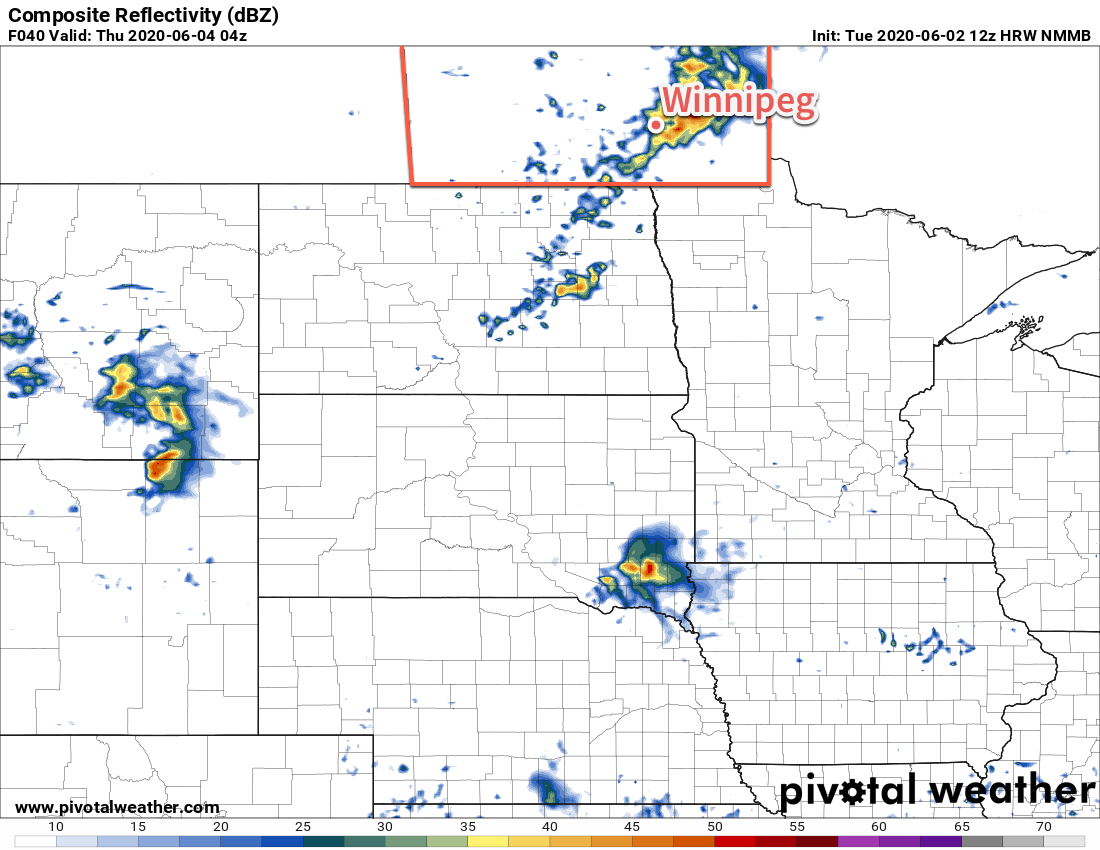
On Thursday, the city will see another mild day, but not as hot as today. Temperatures will climb to a high near 25°C, slightly cooler in the wake of a weak cold front that moves through Wednesday night. Skies will become partly cloudy to mixed through the afternoon as winds pick up out of the west to 30 gusting 50 km/h. By evening, the region will see a chance of showers as an upper low pushes across southern Manitoba. It doesn’t look like thunderstorms will be much of a threat, but an isolated storm or two can’t be ruled out. There wouldn’t be any risk of severe weather with any that formed. Skies will clear on Thursday night with temperatures dipping to a low near 11°C.
On Friday, cooler air will filter southwards into the region in the wake of the upper low. As a result, temperatures will be cooler with a high near 20°C. Skies should stay mainly sunny as a ridge of high pressure builds into the region. Winds will be a bit breezy out of the northwest at 30 gusting 50 km/h. Skies will clear on Friday night with temperatures heading to a low near 10°C.
Long Range Outlook
A significant change in the weather pattern will develop this weekend as a deep upper trough digs down the Pacific coast and a persistent southerly flow develops over the American Plains. As a result, warmer and increasingly humid conditions will likely develop over southern Manitoba.
A series of moderately strong low pressure systems will eject northwards out of Montana into the central Prairies, bringing plenty of cloud cover and several chances for rain or thunderstorms. The unsettled pattern will likely develop Saturday night and persist right into the middle of next week.
It’s far to early to say how much, or if, Winnipeg and area will see rain from these systems. We’ll continue to watch this developing pattern and have more details on what to expect in our Friday forecast.
Today’s seasonal daytime high in Winnipeg is 22°C while the seasonal overnight low is 9°C.