A broad upper ridge over western Canada will keep temperatures well above seasonal averages in Winnipeg.
Today will be the coolest day of the next week in Winnipeg as a bank of stratus cloud moves towards the region from the east. The city should see a high near -3°C today with light easterly winds with a bit of cloud in the afternoon as the edge of the stratus approaches. The wind should shift back to the west overnight, pushing the cloud out of the area as the temperatures dip to a low near -9 °C.
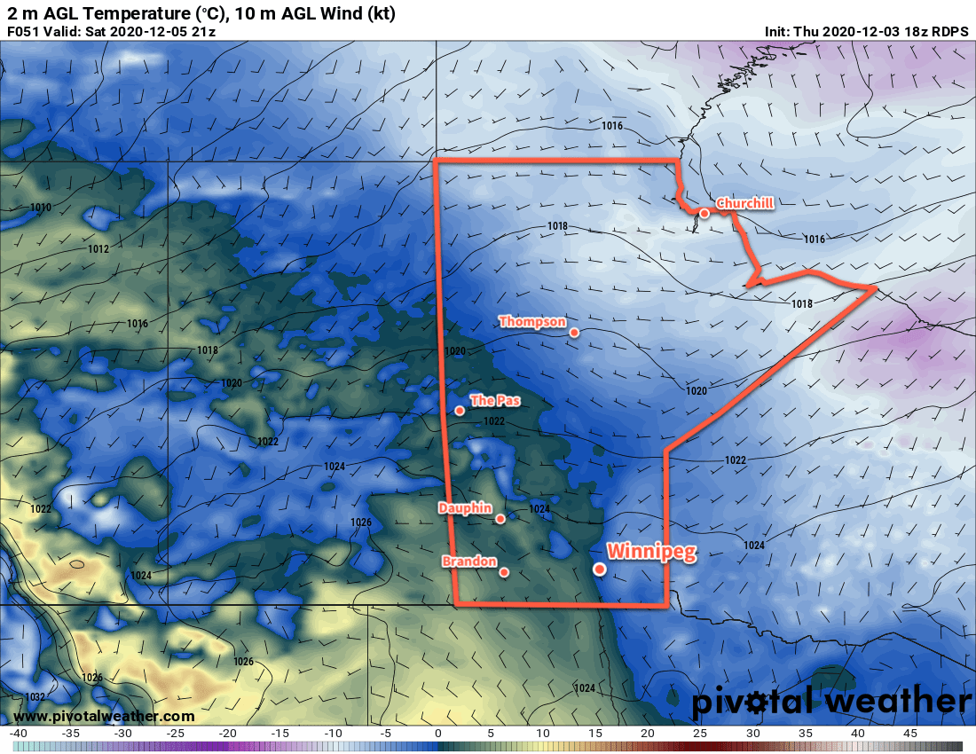
Saturday and Sunday will both bring beautiful weather to the city with plenty of sunshine and highs climbing above the freezing mark. The region will see light westerly winds both days.
Long Range Outlook
There really isn’t much to say about the long-range outlook; beautiful weather will continue right through most of next week with highs climbing above freezing and lows dipping into the mid-minus single digits. No notable precipitation is in the forecast either. It still looks like a transition back towards seasonal temperatures will happen sometime near the end of the week.
Today’s seasonal daytime high in Winnipeg is -8 °C while the seasonal overnight low is -16 °C.