After a blustery Tuesday, notably cooler temperatures are settling over southern Manitoba.
It’s finally time to get the heavier sweaters and jackets out; fall has arrived in Winnipeg. A much cooler air mass has settled into the region and will stick around for the remainder of the week.
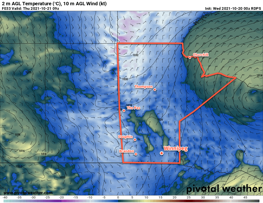
The wind seen yesterday will taper off over the coming days as an Arctic high moves into the region; the northerlies will pick up into the 20–30 km/h range today, then ease to light for both Thursday and Friday. Daytime highs will hover close to the 7 °C mark while overnight lows dip below freezing.
The city will see generally sunny conditions mix with more cloud as the week progresses, with the caveat that there’s some room for the forecast to go a bit wrong if more low cloud spreads off the lakes than expected.
Long Range Outlook
Windier conditions will develop over the weekend as slightly warmer air attempts to move into the region, but more cloud will also spread into the weekend. Some rain showers are possible to start off next week, as temperatures climb into the low to mid-teens. Forecasts show the sun returning mid-week with seasonably warm conditions.
Today’s seasonal daytime high in Winnipeg is 9 °C while the seasonal overnight low is -2 °C.