Quiet, Mild Weather Ahead

Winnipeg will see a quiet start to the week weather-wise with seasonably mild conditions continuing.

A slow-moving area of high pressure will keep Winnipeg seasonably warm and dry over the coming days, but cloud cover will gradually encroach from the west. Over the coming days, the highs and lows will stay steady for the city with highs around 6 or 7 °C and lows near -2 or -3 °C. Today, the city will start off with sunny skies, but southerly winds will strengthen to 30 gusting 50 km/h and a few clouds will push in from the west. These partly cloudy skies will continue overnight, but the winds will ease.

RDPS 2m Temperature Forecast valid 21Z Tuesday March 16, 2021
While the Red River Valley will enjoy seasonably mild temperatures, it will be a bit cooler across the central Prairies.

On Tuesday, the city will see mixed skies with cloudier conditions over southwest Manitoba. A few flurries or rain showers are possible in this area of cloud, but will likely stay over western Manitoba and the central Interlake. The clouds will thicken up on Tuesday night for the city.

Winnipeg will see mixed skies on Wednesday as morning cloud clears out for some portion of the afternoon. Winds will be light again as a new area of high pressure builds into the province.

Long Range Outlook

Warmer weather will begin moving into the province for the end of the week with highs climbing back into the low teens and lows above freezing. Skies should be mainly sunny through the rest of the work week.

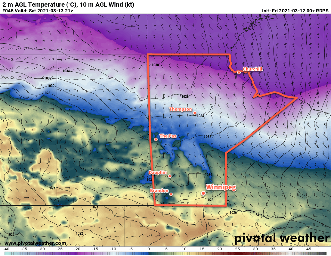
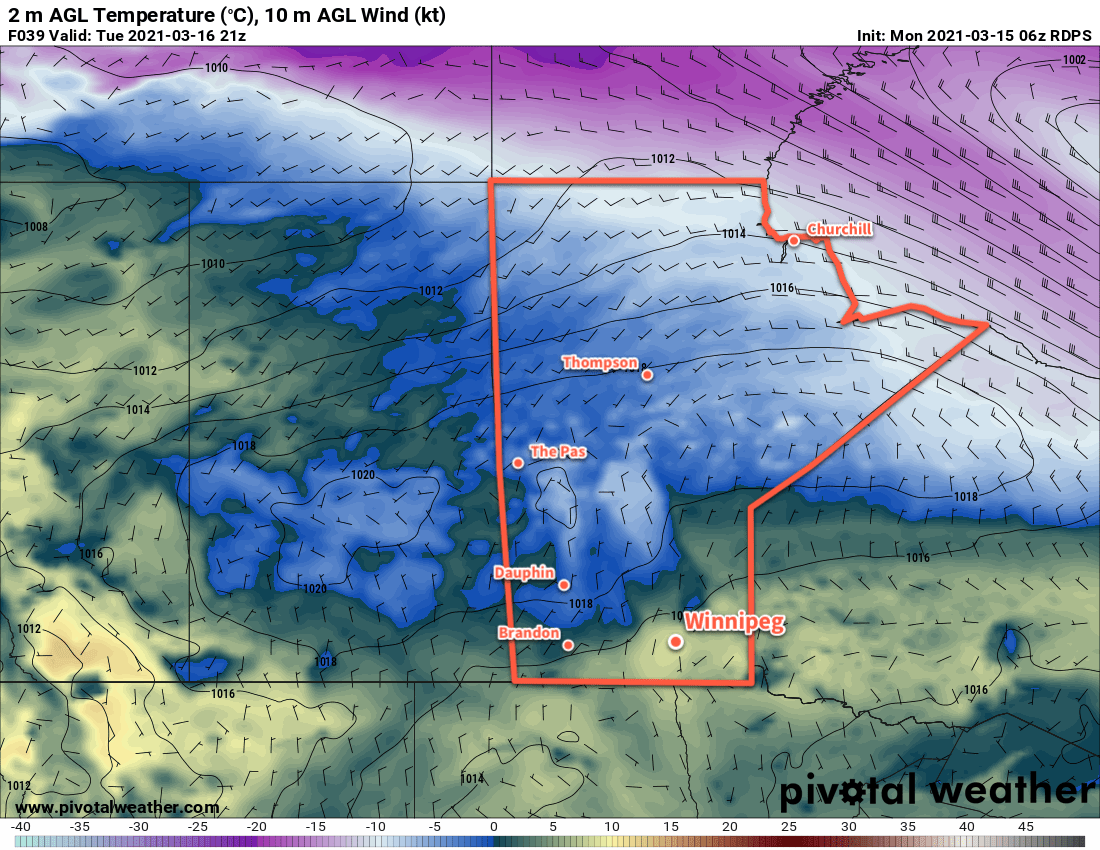
A large pattern shift will occur this weekend, shifting the region into a more unsettled pattern. Cloud cover is forecast to increase this weekend, and several chances for rain exist through the first half of next week.

Today’s seasonal daytime high in Winnipeg is -1 °C while the seasonal overnight low is -11 °C.

Sunny, Seasonably Mild Weather Ahead

Winnipeg will see plenty of sunshine in the coming days with seasonably mild spring temperatures.

The city will see warmer temperatures return today as highs climb to around +4 °C. The winds will be rather breezy, though, with ridge outflow southerlies picking up into the 30–40 km/h range later this morning. Temperatures will dip to around -4 °C tonight with mostly clear skies. The wind will taper off to light through the evening and shift to the west.

RDPS 2m Temperature Forecast valid 21Z Saturday March 13, 2021
Winnipeg and the Red River Valley will see mild temperatures on Saturday afternoon.

Winnipeg will see sunshine again on Saturday with temperatures climbing to a high near 8 °C. A broad ridge moving across the Prairies will keep winds light, shifting from westerly to northerly in the afternoon. Skies will stay clear again on Saturday night with a low near -5 °C.

Sunday? More sunshine with a high near 5 °C and east-southeast winds. Temperatures will head to a low near -4 °C on Sunday night with winds picking up out of the south into the 20–30 km/h range.

Long Range Outlook

A bit of cloud may move through on Monday/Tuesday with a chance of flurries overnight. Aside from that, the rest of the week looks to bring plenty of sunshine. Temperatures will continue at near-seasonal to seasonably mild throughout the week.

Today’s seasonal daytime high in Winnipeg is -2 °C while the seasonal overnight low is -12 °C.

A Cooler Back Half of the Week

Winnipeg will see a cloudier, cooler back half of the work week in the wake of a low pressure system that crossed the province yesterday.

Winnipeg will see light northerly winds today as cooler temperatures push into the region with a weak ridge. Skies will vary from cloudy to mixed as temperatures climb to a high near +1 °C. Winds will ease from 20–30 km/h early this morning to light early in the evening. Temperatures will dip to a low near -6 °C tonight with mixed skies.

On Thursday, another weak low moving through will drag a cold front southeastwards across the province, bringing more cloud and a chance of flurries to the city. Temperatures will return to seasonal values with a high near -3 °C. Winds will be more of a nuisance, picking up out of the northwest to 30–40 km/h midday. An area of high pressure will move into the province on Thursday night, bringing easing winds and clearing skies. Winnipeg should see a low near -13 °C on Thursday night.

RDPS 2m Temperature Forecast valid 21Z Friday March 12, 2021
Warmer temperatures will once again begin moving eastwards into Manitoba on Friday.

That area of high pressure will largely dominate the weather on Friday, bringing sunny skies and southerly winds of 20–30 km/h to the region. Temperatures will climb back to a high near +2 °C. Skies will stay mostly clear on Friday night with a low near -5 °C.

Long Range Outlook

A warm weekend is in store for southern Manitoba as another upper ridge builds across the Prairies. Temperatures will climb back well above freezing with mainly sunny skies this weekend. Slightly cooler weather is forecast to move in to start next week, but temperatures are still expected to stay generally seasonably mild.

Today’s seasonal daytime high in Winnipeg is -3 °C while the seasonal overnight low is -13 °C.

Warm Weather Ahead

Winnipeg will see daytime highs climb above freezing right through the weekend.

A broad upper ridge of the Prairies will bring plenty of sunshine and warmth to Winnipeg over the coming days. Both Friday and Saturday will bring plenty of sun to the city along with highs near 6 °C. The winds will stay light today, but a low pressure system moving from Saskatchewan into northern Manitoba will bring southerly winds of 40 gusting 60 km/h to the Red River Valley on Saturday. Lows will dip to around -6 °C tonight and just below freezing on Saturday night.

GDPS 2m Temperature Forecast valid 00Z Monday March 8, 2021
Mild temperatures will spread across the Red River Valley on Sunday.

On Sunday, Winnipeg will see mostly cloudy skies as a low and associated trough moves through the province. No notable precipitation will fall over southern Manitoba, but skies should stay mostly cloudy through the day. It will be warm with a high near 8 or 9 °C, but will be a few degrees warmer than that over the western Red River Valley. Winnipeg may climb over that high if the westerly winds arrive earlier in the day or a bit more sunshine materializes. Winds will ease midday into the 20–30 km/h range, then shift westerly as the trough passes.

Winds will ease Sunday night with lows near -2 °C and partly cloudy skies.

Long Range Outlook

Conditions will turn a little more unsettled next week as low pressure system moves out of the Northern Plains into the region. Winnipeg may see some rain or snow on Tuesday, followed by some sun and slightly cooler — but still seasonably mild — temperatures.

Today’s seasonal daytime high in Winnipeg is -4 °C while the seasonal overnight low is -14 °C.