A Return To Seasonal Temperatures

The seasonably cool temperatures entrenched over the Winnipeg area the past week are finally on the way out! Warmer weather will return to the region this week under sunny skies.

An upper high moving across the region will dominate the weather pattern over the coming days and bring Winnipeg plenty of sunshine. As it slides eastwards, the upper trough that had been suppling the region with cooler temperatures will shift off as well. This will allow milder Pacific air to push into the eastern Prairies.

In Winnipeg, this will mean nothing but sun and warming temperatures. The city will see ample sun over the next 3 days with daytime highs climbing from a seasonably cool 13 °C today up to 21 °C by Wednesday. Lows will also climb from around the freezing mark tonight to the upper single digits by Wednesday night.

RDPS 2m Temperature Forecast valid 21Z Wednesday May 12, 2021
Seasonably warm temperatures will finally return to southern Manitoba on Wednesday.

Winds will gradually shift over the coming days. Today will bring northeast winds around 20 km/h today ahead of last Arctic ridge moving through the province. On Tuesday, winds will be light out of the south as the high slumps off to the southeast. On Wednesday, winds will pick up out of the south to around 30 gusting 50 km/h as warmer temperatures arrive.

Long Range Outlook

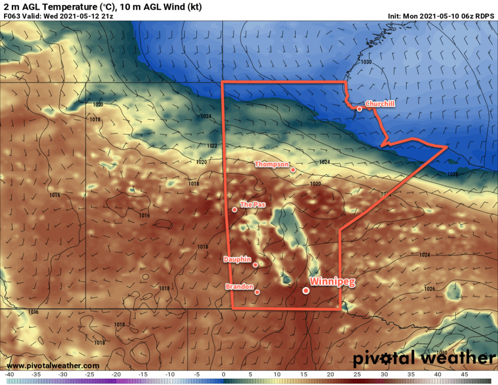
The rest of the work week will bring highs in the low 20s and lows of 5–10 °C. Fire conditions will deteriorate through the week as the increasing warmth combines with wind and low daytime relative humidities. A few daytime showers might be possible later in the week, but they wouldn’t amount to anything that would make any noticeable impact on the worsening drought over the region.

Canadian Drought Monitor Conditions as of April 30, 2021

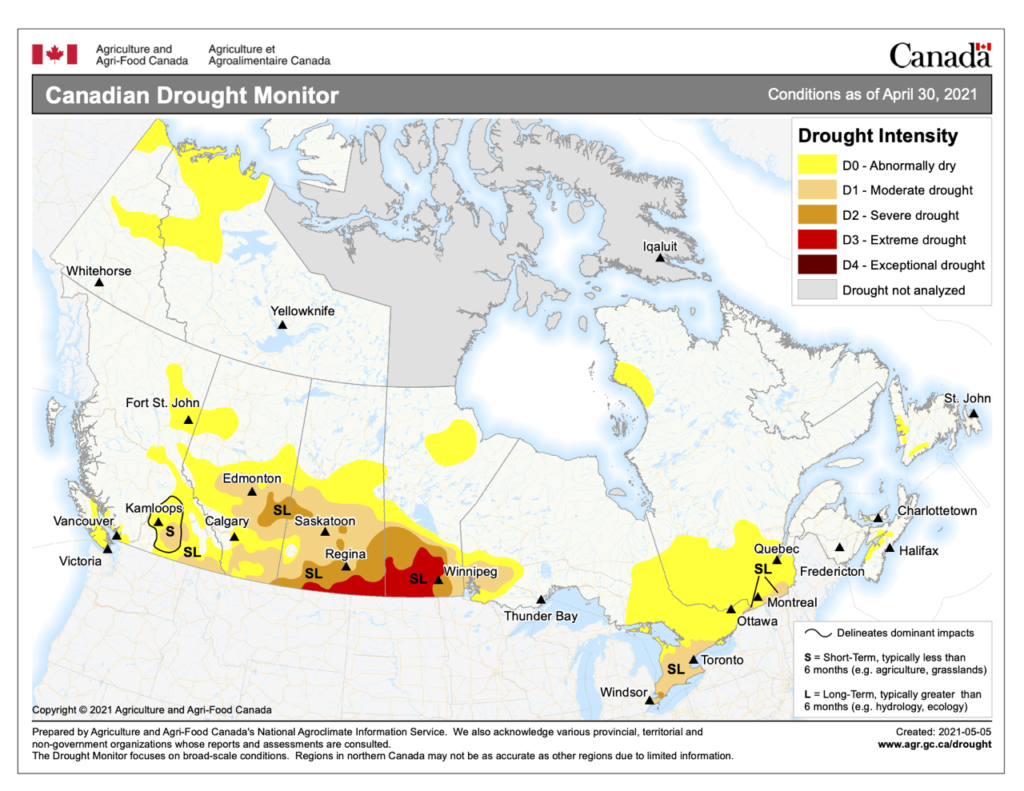
While conditions at specific locations may be a bit better than depicted here, the impacts of the drought are showing. The City of Morden has implemented water use restrictions due to severe drought conditions, the City of Winnipeg had to deal with numerous grass fires over the weekend, and Sandilands Provincial Forest now has one of the first out of control forest fires of the season. With the dry conditions continuing through the week, Municipal Burning Restrictions and Provincial Burning Restrictions may expand.

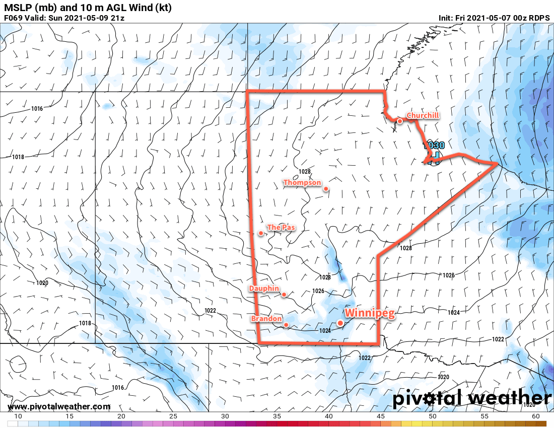
Fortunately, a pattern change this weekend will bring several days of cloudier, more unsettled conditions. Southern Manitoba will likely see accumulating rainfall from Saturday into the middle of next week. At least 5 mm of rain is likely for most areas over that period, but more than 10 mm may be possible. The exact nature and distribution of the rainfall will become more clear later in the week as the disturbances develop.

Today’s seasonal daytime high in Winnipeg is 19 °C while the seasonal overnight low is 5 °C.

Cool and Sunny Weather Continues

Winnipeg will see plenty of sunshine and seasonably cool temperatures through the next few days.

There’s little to tell in today’s forecast as the ridge impacting the region does little but slowly drift southeast over the coming days. Winnipeg will see highs of around 12 °C through the next few days with lows hovering around the freezing mark. The city will see plenty of sunshine right through the weekend.

RDPS MSLP and 10 m Wind Forecast valid 21Z Sunday May 9, 2021
Winds will be relatively light in Winnipeg on Friday and Saturday, but will increase to around 30 km/h for Sunday afternoon.

Winds will be light today, then gradually pick up through the weekend. Out of the north the whole time, winds will pick up to around 20 km/h on Saturday and to around 30 km/h on Sunday. They will ease to light each night.

Long Range Outlook

The area of high pressure over the region will move off next week and allow temperatures to return to seasonal values. Winds will shift to the west-southwest by Tuesday with highs climbing towards 20 °C. Much of next week looks quite pleasant with plenty of sun, but there’s a chance of some unsettled conditions developing at the week’s end.

Today’s seasonal daytime high in Winnipeg is 18 °C while the seasonal overnight low is 3 °C.

Seasonably Cool with Plenty of Sunshine

A ridge of high pressure will continue to bring ample sunshine and seasonably cool temperatures to Winnipeg.

Winnipeg’s forecast for the next few days is light work: seasonably cool and sunny. A stubborn ridge of high pressure will sit over the region the next few days. With little movement in the feature, the weather won’t change much either. The city will see plenty of sunshine with highs near 12 °C and lows around the freezing mark.

RDPS MSLP and 10m Wind Forecast valid 21Z Thursday May 6, 2021
A broad area of high pressure over the Prairies will bring breezy conditions to southern Manitoba on Thursday.

Winds climb into the 20–30 km/h range today and the 30–40 km/h range on Thursday. They will ease each night and stay lighter on Friday as the ridge axis moves over the region.

Long Range Outlook

The region will see more of the same this weekend, then the pattern will break down next week. Forecasts show a return to seasonal temperatures early next week with partly cloudy conditions.

Today’s seasonal daytime high in Winnipeg is 17 °C while the seasonal overnight low is 3 °C.

Cool But Pleasant Weather Ahead

Winnipeg will see seasonably cool spring weather this week with plenty of sunshine.

Winnipeg will see some lingering cloud with a chance of showers today in the wake of yesterday’s disturbance that moved across the region. The cloud cover will gradually break up through the day with the best chance for showers in Winnipeg late in the morning. The region will see a persistent north wind near 30 gusting 50 km/h through the day today. Temperatures will reach a seasonably cool high near 10 °C.

RDPS MSLP and 10m AGL Wind Forecast valid 21Z Tuesday May 4, 2021
An area of high pressure extending from the Northwest Territories through southern Manitoba will dominate the weather pattern over the coming week.

A ridge of high pressure will build into the region tonight and bring clearing skies as the winds ease. Temperatures will head to a low near -3 °C.

This ridge of high pressure will dominate the weather pattern through the rest of the week. Winnipeg will see plenty of sunshine both Tuesday and Wednesday with highs near 10 or 11 °C and lows dipping just below freezing. Winds will pick up out of the north-northwest into the 20–30 km/h range each day and ease for the night.

Long Range Outlook

This ridge will stick around right into the weekend, bringing quiet weather and seasonably cool temperatures to the region. Forecasts show this pattern breaking down next week with seasonal temperatures returning. No rain is forecast.

Today’s seasonal daytime high in Winnipeg is 17 °C while the seasonal overnight low is 3 °C.