Elsewhere in Weather News: April 19th, 2014

Extratropical Storm Ita Brings Soaking Rains to New Zealand

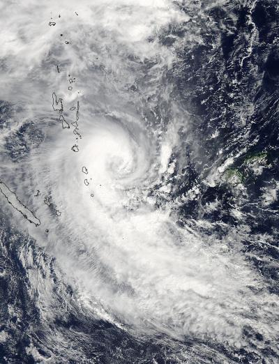
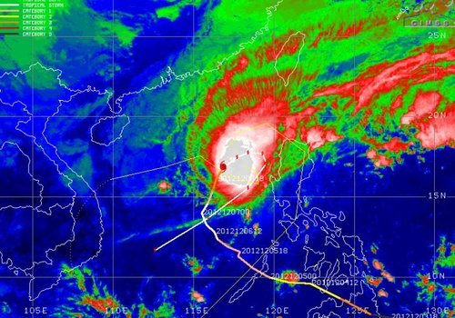
The same cyclone as discussed in last week’s Elsewhere in Weather News article has continued its trek southeast and has brought torrential rains as well as strong winds to New Zealand. After making landfall on Australia’s northeast coast, Ita curved back out to sea while transitioning to an extratropical storm. Extratropical storms are characterized by well-defined frontal features as well as cold core as opposed to cyclones which are tropical in nature and have warm cores.

Surface map analysis on Friday evening (local time) of extratropical cyclone Ita just offshore of New Zealand. (Source: Met Service NZ)

The remnants of Ita brought torrential rains and fairly strong winds to New Zealand’s islands. These adverse conditions knocked out power to around 22,000 people in addition to washing away roads, wreaking havoc on Easter weekend travelers. Some water rescues also had to be executed due to people being trapped in their cars. It appears as though a general 100mm fell across the northern part of the island. Locally higher amounts (200mm+) were possible as upslope winds contributed to higher amounts where higher topography was present. The highest wind gusts also affected the northern and western side of the country, where winds coming straight off the ocean produced gusts as high as 115km/h in Westport.

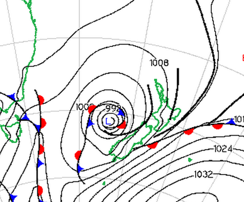
Thankfully the extratropical cyclone is expected to exit the region and continue its track south, bringing more pleasant conditions to New Zealand for Sunday and Easter Monday. Another significant cyclone is churning this weekend, but thankfully in the open waters of the Indian Ocean. Although it is expected to reach category one, it will remain over open waters and is not expected to make landfall.

Elsewhere in Weather News: March 15th, 2014

Cyclone Lusi Heads towards New Zealand; Otherwise a Calm Week

The weather this week has been fairly uneventful but the most significant event has been the three tropical storms that churned simultaneously off Australia’s north and east coast earlier this week. The strongest of the three storms, Cyclone Lusi, was of category three at its strongest point when it moved over the Island of Vanuatu. Vanuatu is an Island on the eastern side of the Coral Sea, near New Caledonia. Flooding was the biggest of the resident’s worries as the cyclone was fairly slow moving; affecting the island from Monday through Wednesday. Of course, strong winds were also problematic as many houses on the island are not built to withstand category three cyclone winds (120km/h). Long-term damage could also be concerning – crops destroyed and freshwater contaminated by flooding waters. Nearly 40,000 people living on the island were affected and about 100 people were evacuated from low-lying areas. Unfortunately, six people perished from trees falling on houses and fast currents associated with the floodwaters.

Cyclone Lusi as seen by NASA's Aqua satellite on March 12th, after the cyclone had passed over the northern islands of Vanuatu. (Source: NASA)
Cyclone Lusi as seen by NASA’s Aqua satellite on March 12th, after the cyclone had passed over the northern islands of Vanuatu. (Source: NASA)

The cyclone continued its trek southwards towards New Zealand where it is expected to make landfall this morning. As it moved south the cyclone encountered colder waters causing it to weaken significantly and start its transition to an extra-tropical storm. On Friday evening the cyclone still packed somewhat of a punch as it affected the northern island of New Zealand; about 7,200 people were reported to not have power and residents were urged to stay inside. New Zealand averages about one tropical storm per year.

Elsewhere in weather news, weather has remained relatively quiet across the globe, apart for severe thunderstorms affecting Argentina and Australia.

Elsewhere in Weather News: December 8th, 2012

Typhoon Bopha Makes Landfall

(Follow-up to last week’s EIWN article “Typhoon Bopha Takes Aim at the Philippines”)

Typhoon Bopha made landfall on Monday, December 3rd, on the southernmost island of the Philippines. The typhoon was classified as a dangerous category five, where winds exceeded 250km/h. As expected with category five typhoons, the devastation and destruction caused extensive damage to infrastructure and crops; one fourth of the banana crops in the region were destroyed. As of Friday, December7th, it was reported that over 500 people had died as a result of the storm, and about 350 were still missing. Rescue workers are working feverishly, looking for survivors assumed to be trapped in their houses because of mudslides, or gold miners trapped in mines. In total, Bopha displaced about 250,000 Philippine residents who mostly took shelter in public buildings to ride out the storm. The Red Cross is providing funds and food to the ravaged country. Bopha appears to be the strongest, southernmost typhoon on record, to have ever affected this region of the Philippines.

Bopha

Infra-red satellite image of Bopha on Friday evening. It does not have a distinct eye and is showing signs of weakening. Forecast track is in white. (Source: CIMSS)

After Bopha made landfall in the Philippines, it emerged into the South China Sea and has re-strengthened to a category three hurricane with a well-defined eye. Its track has taken a northerly direction which was followed by a north-easterly track, which means its outer bands will affect the north-west islands of the Philippines later this weekend. Bopha will continue its somewhat circular track and is predicted to eventually head out in a south-westerly manner towards Vietnam next week. There is a lot of uncertainty as to what will happen after that, but there are some signs that show the storm will weaken off to a tropical depression.

Damage

Incredible damage in New Bataan, a southern Philippine city. (Source: AFP)

In other news, New Zealand experienced its deadliest tornado on record this past week where an EF-2 struck a suburb of Auckland and killed three people. It’s not a common sight to see such a strong tornado in Auckland but the conditions on December 6th greatly contributed to this, as warm, humid air, fueled severe thunderstorms in that area.

Short collection of videos of what it was like being inside the New Zealand Tornado. (Source: AP)