Cool Weather Continues With More Snow Possible

Winnipeg will continue to see unseasonably cold weather right through the weekend as Arctic air remains entrenched over Manitoba.

Some sunshine will reappear in Winnipeg today as the city sees a mix of sun and cloud. Any time clouds are around, they’ll likely be producing some flurries. Temperatures will beis cool with a high near -7°C, held down by an approaching Arctic high. Temperatures will plunge to a low near -18°C – or perhaps even a bit colder – unless the city ends up manages to find itself underneath some cloud cover.

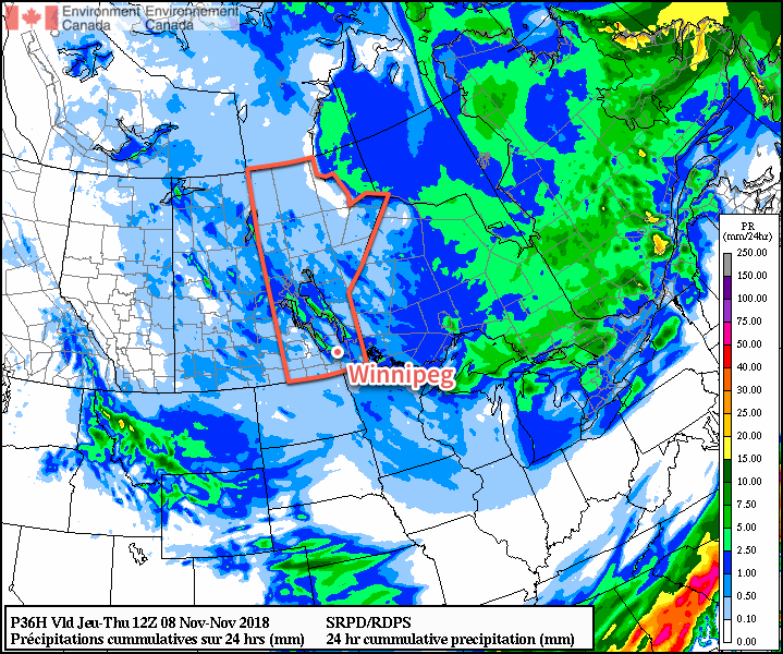
Slightly milder temperatures begin pushing into the province on Saturday ahead of a low pressure system moving across Saskatchewan. With increasing cloud cover, temperatures will climb to a high near -4°C in Winnipeg. Winds will pick up out of the south-southeast to 30 to 40 km/h by midday. Winnipeg shouldn’t see any precipitation during the day, but light snow should move into the Red River Valley on Saturday evening from the west. Periods of light snow will persist Saturday night as temperatures fall to a low near -9°C. Those breezy southeasterly winds should taper off roughly coincident with the snow pushing into the Red River Valley.

RDPS 24hr. QPF Forecast valid 12Z Sunday November 11, 2018
Light snow will spread across southwestern Manitoba on Saturday and into the Red River Valley on Saturday night.

Sunday will bring plenty of cloud and breezy northwesterly winds to Winnipeg and the Red River Valley. Temperatures will once again climb to a high near -5°C. Snow squalls will redevelop off of the Manitoba Lakes as the broad area of light snow leaves the province. By Sunday evening, another 2 to 5 cm seems likely through the Red River Valley with higher amounts in areas affected by the squalls.

Skies will remain mostly cloudy on Sunday night with a chance of snow in Winnipeg depending exactly where the lake squalls set up. Temperatures will dip to a low near -12°C.

Long Range Outlook

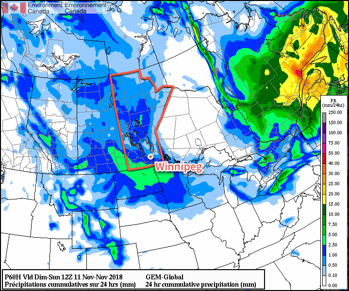
The below-normal temperatures will continue right through next week with variable cloudiness. Winds don’t look as favourable for squalls through a portion of the week, however some more snow looks possible sometime in the second half of the week.

Winnipeg’s seasonal daytime high is currently +1°C while the seasonal overnight low is -7°C.

Unseasonably Cold Conditions Descend Into Southern Manitoba

A cold, Arctic air mass moving into southern Manitoba will turn the Manitoba Lakes into snowfall generators.

Winnipeg may have missed out on most of yesterday’s snow, but it won’t escape the Arctic air moving through the province. Today will mark the first day of below-seasonal temperatures with a meagre recovery to a high near -4°C. Skies will remain mostly cloudy with a slight chance of flurries. Winds will persist out of the northwest at 20 to 30 km/h and be the guide for the weather of the day: snow squalls.

With the cold temperatures in place and northwest winds, intense bands of snow will be streaming off of the Manitoba Lakes. These bands may produce as much as 2 to 3 cm of snow per hour underneath them at times, with the heaviest rates closer to the lakes. The squall coming off of Lake Manitoba should remain west of Winnipeg during the day. As winds become a little more westerly this evening, the band may shift into the city bringing a chance of some moderate to heavy snow.

Heavy snow is possible in the lee of the lakes later today and overnight as snow squalls develop in a cold northwesterly flow.

Winds will shift more to the west-northwest overnight as temperatures drop to a low near -10°C.

Thursday will continue to bring more cloud as a weak trough slumps southwards through the province. There will be a continued chance for flurries through the day and winds will be light. Temperatures will climb to a high near -5°C and then drop to a low near -10°C again on Thursday night.

Friday will bring mixed skies to the city. In the morning, more snow squalls will likely be coming off of the lakes. It looks like Winnipeg will sit between them and escape mostly unscathed. Temperatures will continue to be cool with a high of just -6°C with northwesterly winds of 10 to 20 km/h. The city should see some clearing on Friday night with a low near -12°C.

Long Range Outlook

The weekend will bring thicker cloud cover back into southern Manitoba with a chance of flurries on Sunday. Temperatures will remain below-seasonal with daytime highs near -4°C and overnight lows near -10°C.

Winnipeg’s seasonal daytime high is currently +1°C while the seasonal overnight low is -7°C.

Stuck In A Cool Pattern

A high-ampltude jet stream is bringing unseasonable weather to much of Canada.

A high amplitude jet stream is bringing unseasonable weather to much of Canada.

Temperatures will remain fairly cool through the next few days as Southern Manitoba remains entrenched in a pattern that has the jet stream diving through Saskatchewan well to our south, trapping cooler air over the area. In addition, snow will enter the picture as snow squalls batter areas in the lee of the lakes – in particular Lake Winnipeg – and a weak disturbance slides down from the North and brings flurry activity to many regions tonight.

Today

Wednesday

3°C
Mainly cloudy. Chance of flurries in the afternoon.

Through much of the Red River Valley today we’ll see mainly cloudy skies – perhaps with a sunny break or two – with the weather pattern being dominated by snow squalls coming off the lakes. While some squall activity is expected off of Lake Manitoba, with a band of snow extending SSE from the lake positioned between Portage la Prairie and Elie. More vigorous activity is expected off of Lake Winnipeg, where cooler air aloft will combine with favourable winds which will bring air not just over the South Basin, but over the North Basin as well. The cooler air aloft coupled with the air being over water for longer will combine to produce vigorous convection that will push SSE off the lake into areas around Beausejour and east.

The snow has the potential to be very heavy, producing near-whiteout conditions and rapid snowfall accumulation. Fortunately it will be confined to a fairly narrow corridor in the lee of the lake, but if you are expecting to travel east towards the Whiteshell today, you should be prepared for potentially encountering treacherous winter driving conditions.

Wednesday Night

-2°C
Light snow beginning in the evening.

Embedded above these local features will be a weak frontal wave sliding southwards along the baroclinic zone that is dividing the Prairies. This weak wave will bring light snow activity to the Interlake through the daytime today, pushing southwards and entering the northern Red River Valley by late in the afternoon or early evening hours. This light snow will push all the way south to the US border through the evening and persist through much of the night. No significant accumulation is expected from this system, although if it ends up intense enough then its possible some areas may awake to a cm or two on Thursday morning.

High temperatures will be around 2–3°C today throughout the Red River Valley while the ample cloud cover and light snow will limit our overnight lows to just around –2°C.

Thursday & Friday

Thursday

4°C / -4°C
A mix of sun and cloud; chance of flurries in the morning.
Friday

7°C / 0°C
Sunny becoming a mix of sun and clouds. Chance of showers.

Thursday will bring a mix of sun and cloud as the cloud from the overnight snow clears out but ample low cloud continues to flow off the lakes. There will be a chance of flurries in the morning as the overnight disturbance leaves the province, but little is expected otherwise. Some light snow may fall out of any clouds that wander through Winnipeg in the afternoon, but it would likely be exceptionally light if that were to happen.

Overall it will be a relatively nice, albeit cool, day. We’ll drop down to around –4°C under partly cloudy skies on Thursday night.

Friday will start with relatively clear skies but we’ll see things become more mixed as the day progresses. A significant low pressure system will be pushing through Northern Manitoba into NW Ontario dragging warm air with it across the Prairies; we’ll see southwesterly winds of 20–30km/h bring warmer air into the region as we head to a seasonal high of 7°C. There will be a chance of showers here in Winnipeg, although we look to be on the periphery of the system with the bulk of the precipitation falling through the Interlake into Southeast Manitoba. Friday night will bring partly cloudy skies and a low of about 0°C.