A Snowy Start to the Weekend

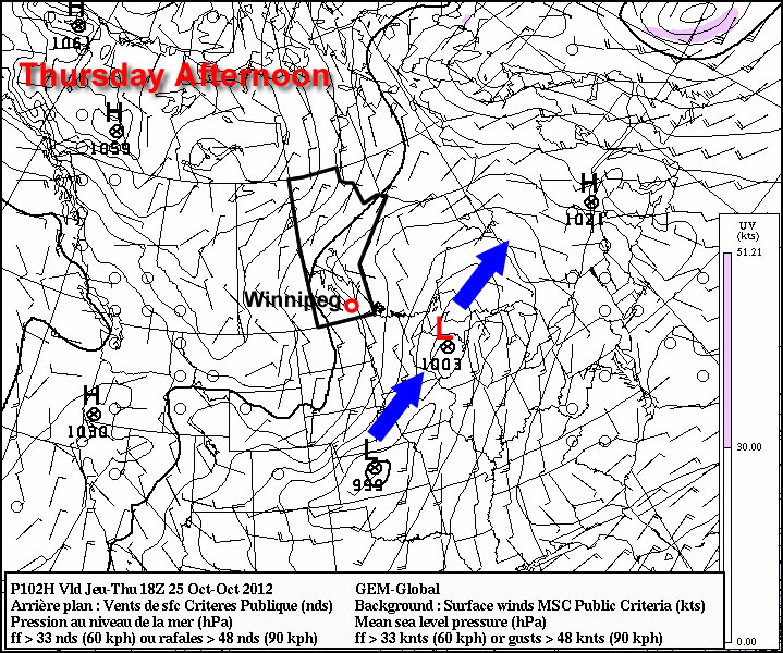
A compact shortwave moving across southwestern Manitoba will bring snowfall to the Red River Valley and areas west today and tonight.

500mb vertical velocities for 18Z today

500mb vertical velocities for 18Z today. This image shows an area of lift (air moving upwards) over the Red River Valley by noon today. This will contribute to the generation of snowfall over the area.

A broad area of moderate lift ahead of a shortwave is producing an area of snow that will push eastwards into the Red River Valley by late morning, although the exact eastward extent of the snowfall will be quite tricky to nail down as the lift creating the snow will [somewhere near the Red River Valley] slow down and pivot to the south as the shortwave dives into the Dakotas.

Before we get to snowfall accumulations, we’ll quickly cover our temperatures for the weekend. Because no surface fronts are associated with the weather we’ll get (all of the forcing is aloft), temperatures through the Red River Valley will not vary too much from yesterday. Daytime highs through the weekend will vary from about 0°C to 2°C. Overnight lows through the weekend will generally sit around -4°C, plus or minus just a couple degrees.

Onto the snowfall! Snow has spread into SW Manitoba overnight, bringing light to moderate snow that will last another 12-18 hours. Snow will begin to push into the RRV by late morning, however the eastern extent is difficult to pin down with amounts likely diminishing somewhere over the eastern Red River Valley into the Whiteshell. One of the biggest challenges to this system will be the SLR: snow-to-liquid ratio. This is a measure of how much snow a certain amount of water will generate. Typically on the Prairies, SLRs tend to be in the 10:1 to 15:1 range; if you had a 10:1 SLR, that would mean that 1mm of liquid water would produce 1cm of snow. If it were 15:1, then 1mm of liquid water would produce 1.5cm of snow.

Over southwestern Manitoba models are predicting generally 10mm of precipitation, over the Parkland regions of Manitoba about 5-10mm is expected to fall and over the Red River Valley, 2-5mm is forecast. Best guidance is showing SLR values of around 11:1, which would result in the following snowfalls:

  • Southwestern Manitoba: 11cm
  • Parkland Manitoba: 6-11cm
  • The Red River Valley: 2-6cm

The greatest uncertainty with this system is how far eastwards the snow will push, but in general, this will be the first accumulating snowfall in quite a while over Southern Manitoba. Winds will be light throughout this event, which will prevent blowing snow from being a problem, but drivers should be prepared for the potential of poor driving conditions through the Red River Valley and areas across the west and southwest portions of the province tonight through tomorrow morning.

Some lingering light snow will be out and about through the rest of the weekend, but no significant snowfall is expected.

Cooler Air Pushing Southeast Across Southern Manitoba

The powerful low pressure system that has brought rain to Winnipeg over the past couple days and is bringing 10-20cm of snow to portions of Northern Manitoba has pushed north and east of the Red River Valley, setting the stage for cooler air to filter into the region.

700mb Temperatures for Thursday Morning

NAM forecast of 700mb heights & temperatures valid Thursday morning.

The Red River Valley will be moving into a strong northwesterly flow aloft that will advect cooler air into the region. While earlier in the week, models were projecting a very potent arctic blast, things have become a little more pleasant due to a more significant amplification of the upper-level pattern. The net result of this is a cut-off upper low over the central Prairies that will, in effect, block the coldest air from being able to push southwards. This will give us more cloud than sun with daytime highs near 5 or 6°C through the rest of the work week.

The upper low begins to push eastwards for the weekend, allowing slightly cooler temperatures to the area for the weekend, with highs near 0°C, and a chance of some light snow. Accumulations will be light-to-none throughout the RRV, however a few cm may pile up in the Interlake region.

More Active Weather

More active weather is in store for this week with multiple chances for precipitation. The question is whether that precipitation will be solid or liquid.

Low pressure system passing to the south-east on Thursday

A low pressure system is currently expected to pass to our south-east on Thursday, generating minimal impacts in Manitoba

The weather to start the week will be fine, with temperatures generally in the high single digits on Monday and perhaps a few double-digit readings here and there. There will be increasing cloudiness during the day as a weather system approaches. This system will begin to spread rain over Southern Manitoba on Monday night with precipitation persisting into the day on Tuesday. Highs on Tuesday will remain very similar to Monday, but the rain will make it a considerably more miserable day. Total accumulations from this system will generally range from 5 to 15mm. As Tuesday’s system departs our region on Wednesday, cooler air will sweep in from the west making for a chilly and windy middle of the week. Temperatures on Wednesday will be in the mid single digits with a gusty west wind.

There has been much talk about the weather for later this week. Some models have been showing a significant Colorado Low system hitting portions of Manitoba on Thursday and Friday. However, other models show little or no precipitation for us later this week. At this point the consensus seems to be that it is unlikely Southern Manitoba will be getting a major blizzard later this week. Most models depict a moderate strength low system sliding past us through Minnesota and up into North-Western Ontario, perhaps bringing a few flurries or rain showers to Southern Manitoba, but not a major winter storm. Some models still show a fairly deep low pressure system to our east over Northern Minnesota and North-Western Ontario later this week, but it looks like it will be sufficiently far away to prevent us from seeing its main impacts. So at this point it appears unlikely that we’ll be seeing any significant amount of the white stuff later this week. However, expecting the unexpected as always a good saying to live by in the weather business.

Gloomy Thanksgiving Monday

This Thanksgiving will be nothing like last year’s (which featured temperatures in the twenties), as rain and wet snow make for a rather miserable holiday Monday.

Total precipitation accumulation for Monday's system

The GEM model shows generally 10-20mm of precipitation over Southern Manitoba

A low pressure system sliding south-eastward through Manitoba on Monday will be responsible for the precipitation, with rain beginning to move into Southern Manitoba early Monday morning. Temperatures on Monday will be cool, but generally not cold enough for snow with values hovering in the mid single digits during the daytime. By evening there will be a changeover to snow in some areas, mainly portions of Western Manitoba, as colder air is pulled down from the north. Areas in the Red River Valley can expect a bit of wet snow late Monday evening into the overnight period, but with surface temperatures remaining above zero, no notable accumulation is expected. Total precipitation accumulations will generally range from 10 to 20mm across Southern Manitoba by early Tuesday.

Unfortunately, conditions will improve little for Tuesday. It will be a chilly start to the work-week as cold air pulled down by the previous day’s low pressure system will not allow temperatures to climb much higher than the mid single digits at best. Monday’s low pressure system will have departed by Tuesday morning, so no more significant precipitation is expected (save for perhaps a few scattered showers or flurries). At this point models keep us in the single digits for Wednesday as well, so even normal weather will continue to elude us.

The late week period looks to remain fairly miserable, with temperatures staying stuck in the single digits. No more significant precipitation is expected later this week.