Winnipeg will see its hottest days of the heat wave ahead, but some relief will begin to work into the region on Sunday.
The massive upper high over the region will keep skies mainly sunny over the next two days and temperatures hot. Daytime highs will reach the mid-30s today and tomorrow in Winnipeg. Fortunately, the dew point will stay a comfortable range through the next couple days. Although it won’t be humid, the heat will be intense with little relief at night; lows will only reach around 22 or 23 °C both tonight and tomorrow night.
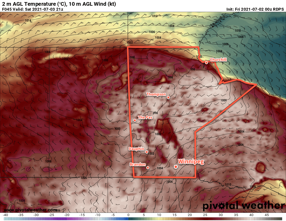
A trough approaching the province on Saturday will bring breezy southerly winds of 30–40 km/h and some afternoon cloud to the Red River Valley. Heading into the night, the trough will bring a chance of showers or thunderstorms to the region as it moves into the Red River Valley.
The chances for any rain will taper off on Sunday morning as the trough moves through. In its wake, breezy northwest winds in the 30–40 km/h range will develop. Skies should clear out in the afternoon with a high near 32 °C. Temperatures will head to a low near 18 °C on Sunday night
Long Range Outlook
Temperatures will return to seasonal values for the start of next week with variable cloudiness. Conditions look likely to turn unsettled around mid-week, with the potential for a couple rounds of showers/thunderstorms in the second half of the week.
Today’s seasonal daytime high in Winnipeg is 25 °C while the seasonal overnight low is 13 °C.