Cloudy, Slightly Warmer Weekend Ahead

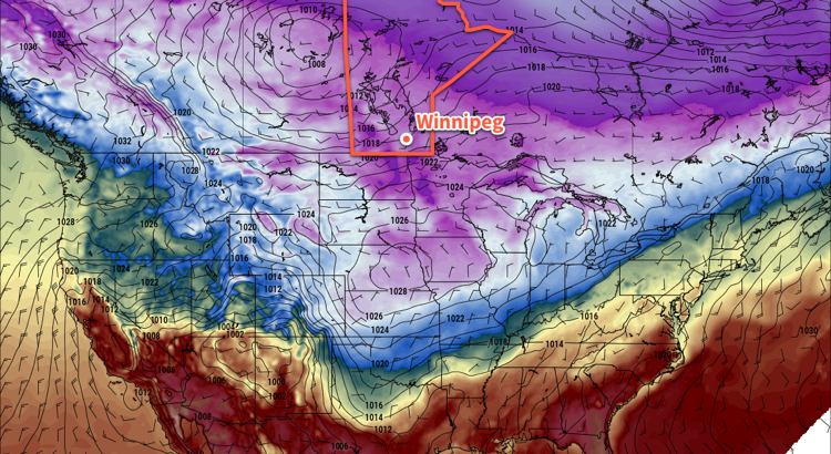
A series of low pressure systems moving through Manitoba will bring cloudier conditions this weekend alongside slightly milder temperatures.

Before the cloud arrives, today will bring another sunny day to Winnipeg with temperatures reaching a high near -14°C with winds picking up out of the southwest to 20 to 30 km/h this afternoon. Winds will ease tonight to around 10 km/h with increasing cloud cover as temperatures dip to a low near -21°C.

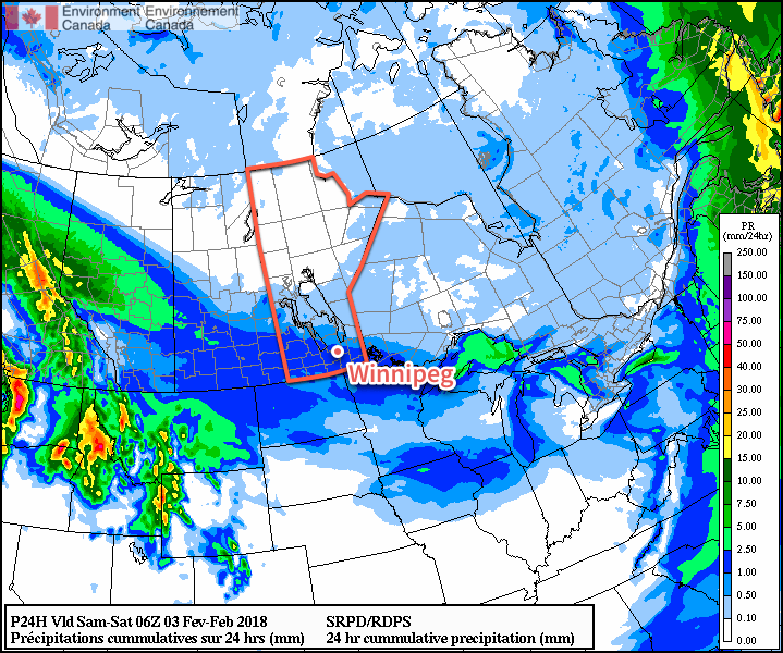
Skies will cloud over on Saturday with a chance of flurries as some slightly warmer air pushes in from the northwest. Highs should climb to around the -12°C mark, then fall to around -18°C on Saturday night with an increasing chance of seeing some light snow.

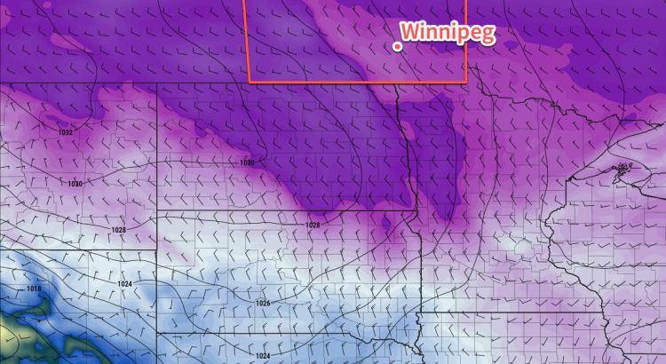
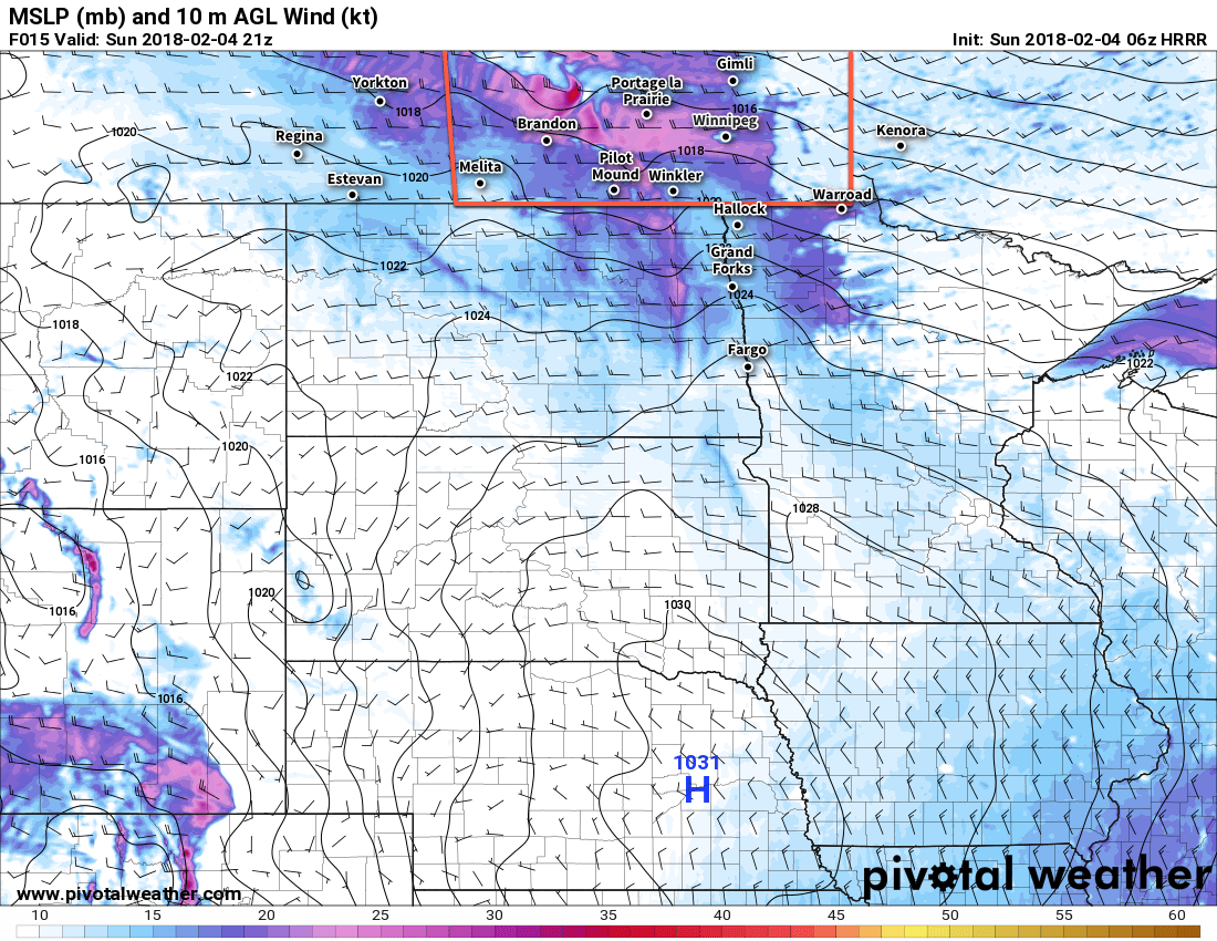
Sunday will bring cloudy skies to Winnipeg with a good chance of some light snow in the morning. Temperatures will climb to around -12°C again, but clearing skies in the evening will allow temperatures to dip back down to around -23°C for a low on Sunday night. Winds will switch from the southwest to the northwest midday as a low pressure system passes, picking up to around 30 km/h for a few hours in the afternoon. The winds will ease to light on Sunday night.

Long Range Outlook

The long-range forecast continues to look fairly dry with little significant changes on the horizon. Temperatures next week look variable between near-seasonal and below-seasonal, and other than a chance for some light snow on Wednesday, the forecast looks fairly dry.

Winnipeg’s seasonal daytime high is currently -9°C while the seasonal overnight low is -20°C.

The Best Weather…Is No Weather?

It’s steady sailing for Winnipeg through the remainder of the work week with no notable changes in the weather expected.

The persistent Arctic ridge that has been building across the southern Prairies will continue to remain in place for the remainder of the week, bringing very little change to the weather over the next 3 days. Winnipeg will see daytime highs right around the -16°C mark with plenty of sunshine through the remainder of the work week. Overnight lows will dip to around -26°C tonight and Thursday night, but slightly warmer temperatures will move in ahead of a low pressure system on Friday night, keeping lows a bit warmer near -20°C with some cloud cover building into the region.

Long Range Outlook

A low pressure system passing through on the weekend will bring some cloud and a chance of flurries. Temperatures aren’t really forecast to climb too much, but the passage of this low may begin shifting the overall weather pattern and allow seasonal or slightly above-seasonal temperatures to move into southern Manitoba next week.

In the meantime, grab those skates, or skis, or boots, and get out and enjoy the sunshine!

Winnipeg’s seasonal daytime high is currently -10°C while the seasonal overnight low is -20°C.

Quiet, Cool Weather Ahead

After yesterday’s cold turning windy weather, the coming few days are set to be entirely unexciting with benign, cool weather.

Winnipeg will find itself on the northern side of an Arctic ridge for the next few days, which will bring fairly benign weather to the region and keep temperatures on the cool side.

For the next several days, daytime highs near -16°C, give or take a degree or two, are expected while overnight lows sit near -26 or -27°C. Winds will be a bit breezy this afternoon, out of the northwest at 20 to 30 km/h, but will taper off this evening and remain light for Tuesday and Wednesday. Skies will also become increasingly sunny, with a mix of sun and cloud today giving way to partly cloudy skies tomorrow, and finally mainly sunny skies on Wednesday.

Long Range Outlook

The remainder of the week looks like more of the same. The Pacific storm track will remain to the west and south, while any weaker polar disturbances remain to the north. Below-seasonal temperatures will remain in place for the remainder of the work week, but indications are that the Alaska high that has helped entrench the cold northerly flow over the Prairies may collapse towards the end of the week, forcing the coldest Arctic air back into the north and allowing temperatures on the Prairies to moderate.

This would also likely result in the chance for some snow, but there’s little confidence in any potential storms at this point.

Enjoy a quiet and sunny, albeit chilly, week ahead!

Winnipeg’s seasonal daytime high is currently -10°C while the seasonal overnight low is -21°C.

Mixed Bag Ahead For The Weekend

Winnipeg will see below seasonal temperatures continue through the weekend alongside a mix of sun and cloud and a bit of light snow.

Winnipeg, alongside much of southern Manitoba, will see cloudy skies with some light snow today as an upper-level disturbance slides across the region. The snow won’t accumulate to much, though, with just a centimetre or two expected at most. Temperatures will be milder today with highs near -16°C, but that’s still below the seasonal high of -10°C.

Skies will clear out this evening as temperatures drop to a low near -25°C. A second disturbance will begin working into southwestern Manitoba overnight, spreading more cloud into Winnipeg and the Red River Valley overnight.

Much of southern Manitoba will see a light dusting of snow today

Saturday will be a much cooler day in Winnipeg with a high near -21°C as colder air from an Arctic ridge building across the Prairies moves into southern Manitoba. Winnipeg may see a bit of light snow in the morning, but skies should begin clearing through the afternoon. Saturday night will bring mainly clear skies to Winnipeg with overnight lows dipping to around -28°C. Winds near 15 km/h will produce wind chills near -40, so there’s a chance Winnipeg may end up seeing an extreme cold warning issued from ECCC.

Sunday will see a return to similar temperatures as today as morning sun gives way to some afternoon cloud and temperatures climb to a high near -16°C. This is courtesy a warm front that will move through the region from northwest to southeast. There may be an isolated flurry or two associated with the cloud on Sunday afternoon, but nothing as widespread as the snow expected today or Saturday morning. Temperatures will dip to a low near -21°C under mixed skies on Sunday night.

Update: Windy Sunday

Moderate to strong westerly winds of 40 to 50 km/h will develop this afternoon may produce areas of poor visibility in blowing snow. The primary areas affected look to be along the Yellowhead Highway corridor in eastern Saskatchewan southeastwards into Manitoba and along the Trans-Canada Highway corridor in Manitoba. For travelling, roadways running north-south or northeast-southwest will have the greatest potential to be affected.

HRRR 10m Wind Forecast valid 21Z Sunday February 4, 2018
Moderate to strong westerly winds will develop across portions of Saskatchewan and Manitoba today.

Areas of blowing snow will also likely develop along the western escarpment of the Red River Valley where downsloping produces stronger winds as well.

Long Range Outlook

A quick look ahead to next week shows fairly quiet weather with a mix of sun and cloud and a very slow, gradual trend back towards seasonal temperatures. Really, not much to talk about. Enjoy the weekend!

Winnipeg’s seasonal daytime high is currently -10°C while the seasonal overnight low is -21°C.