Unsettled Friday Leads Into Pleasant Weekend

Winnipeg & the Red River Valley will see one more day of unsettled weather before warmer, drier weather moves in for the weekend.

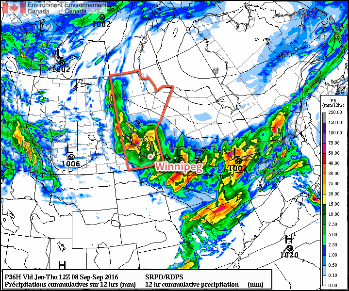
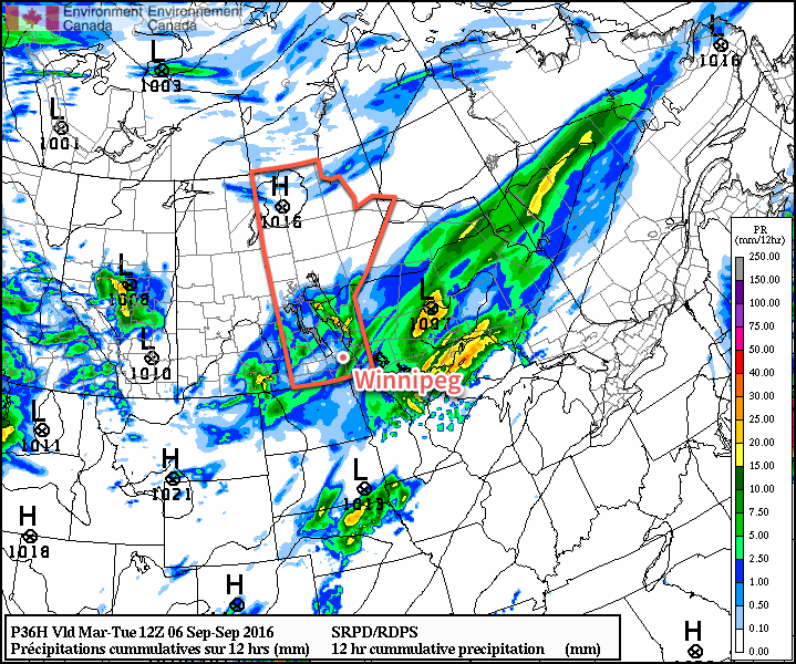
Wet weather is on the way this morning as a low pressure system passes through the Red River Valley, bringing showers with the risk of a thunderstorm across the region. All the rain should move out by midday with just a very slight chance of isolated showers through the afternoon as the cloud breaks up a bit. Temperatures will climb to a high near 18°C with a gusty northwesterly wind increasing to 20-30 km/h in the afternoon. Clouds will scatter tonight as we head to a low near 9°C. There will, however, be some lake effect showers streaming off the lee of the lakes, so depending on the exact wind direction, areas to the south-southeast to east-southeast of both Lake Winnipeg and Lake Manitoba may see some additional cloud and shower activity into Saturday morning.

A swath of showers is expected across Southern Manitoba this morning.

Saturday will be a pleasant day with light winds and partly cloudy skies.1 Temperatures will rebound to around 20°C for a high. Clouds will begin moving in on Saturday evening for a mostly cloudy night with low temperatures dipping to around 12°C.

Sunday will bring mixed skies to Winnipeg & the Red River Valley with gusty southerly winds developing ahead of an incoming low pressure system. Temperatures will be warm, with highs climbing to around 24 or 25°C. Sunday night will continue fairly cloudy with a chance of showers. Temperatures will dip to around 11°C.

Long Range

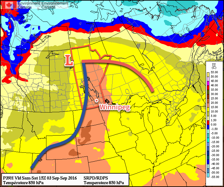
The start of next week looks quite cool as a cold front pushes through on Monday bringing distinctly fall-like weather as cool Arctic air pushes into the region. Daytime highs in the mid-teens look quite possible for the first couple days next week before temperatures rebound back towards seasonal mid-week.

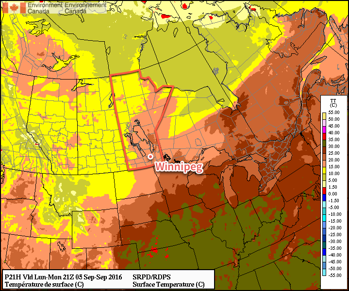
Winnipeg’s seasonal daytime high is currently 20°C while the seasonal overnight low is 7°C.


  1. Save for any remaining lake-effect cloud/showers first thing in the morning. 

Seasonably Cool & Unsettled

Temperatures will be seasonably cool in the Red River Valley through the remainder of the week with the chance of showers returning to the region.

Today will be fairly pleasant, all things considered, with a fair amount of sunshine until cloud cover moves in through the mid- to late afternoon ahead of a low pressure system lifting northeastwards out of the Northern Plains. Temperatures will climb to around 20°C this afternoon.

Tonight will bring showers and/or thunderstorms to Southern Manitoba, however the exact distribution of the precipitation remains a little uncertain. Two features will support rainfall: the main upper low which will track through WestMan & the Interlake and a secondary shortwave that will lift through North Dakota. What begins as a large line of rain will likely focus towards these two features overnight. This means that here in the Red River Valley, amounts will likely be less, or even non-existent, compared to areas to the west/north or south/east. The primary chance for rain will occur between around 9PM to 4AM. In heavier showers, 15-25mm of rain could be seen, while many places will likely see 5-10mm. Again, here in the Valley, we may escape with little precipitation, depending on how things develop. Expect a low near 12°C.

A complex low pressure system will bring precipitation to much of Southern Manitoba on Thursday night.

Thursday will bring mixed skies with a high once again near 20°C. The day will be otherwise fairly unremarkable. Expect more cloud and a low near 11°C. All in all a pleasant first day of school!

Friday will see another disturbance move across Southern Manitoba, bringing another chance for some scattered showers under mainly cloudy skies. Sunshine should start poking out through the afternoon as skies become more mixed behind the disturbance. Expect a high near 18°C. Skies will clear overnight as temperatures dip to around 9°C. Some lake-effect showers are possible overnight in the lee of both Lake Manitoba and Lake Winnipeg as cool northwest winds roll over the warm lake surface.

Long Range

The weekend is looking fairly dry with variable cloudiness and daytime highs in the upper teens or low twenties. Sunday will likely be windy out of the south. Overnight lows will continue near 10°C.

Winnipeg’s seasonal daytime high is currently 20°C while the seasonal overnight low is 8°C.

Cooler Weather Kicks Off An Unsettled Week

Markedly cooler weather will be in place across Winnipeg & the Red River Valley this week as a stagnant pattern locks the region into a series of disturbances that will bring unsettled weather through the week.

Mainly cloudy skies will be in place for Winnipeg & the Red River Valley today as the region continues to be under the influence of the series of disturbances that brought upwards of 75mm of rain over the weekend to some areas. Daytime highs will be cooler–slightly below seasonal–with the region seeing temperatures climb to about 19°C today.

Cooler weather will prevail across the entire Prairies today, with daytime highs in the 15-20°C range.

Another low pressure system will move through the region tonight, spreading showers across the province starting in the southwestern corner then spreading east-northeastwards into the Red River Valley and Interlake. Amounts should be fairly low with these showers, with only a few mm expected in the areas that see a little more activity. Temperatures will dip down to around 12°C overnight.

Scattered showers are expected across Southern Manitoba tonight.

The sun will gradually poke out on Tuesday with temperatures once again climbing to around 19°C for a daytime high. Temperatures will drop to around the 8 or 9°C mark on Tuesday night under partly cloudy skies.

Wednesday will bring more cloud to the region as another disturbance approaches the region from the west. Temperatures will climb to a high near 20°C with much of the cloud building into the region in the afternoon. A chance of showers will build through the evening hours with some accumulating rain likely overnight through the region. Expect a low near 13°C.

Long Range

The cool weather continues through the remainder of the week with daytime highs continuing in the 19-20°C range. At this point, it looks like the chance for rain will taper off early Thursday morning, but another disturbance moving through on Friday will once again bring a chance of rain to the Red River Valley.

Winnipeg’s seasonal daytime high is currently 20°C while the seasonal overnight low is 8°C.

Weather Turns Unsettled For Labour Day Weekend

After a warm but windy day in Winnipeg & the Red River Valley today, the weather will turn unsettled for the weekend as multiple low pressure systems move through the province.

Today will be a warm and windy day over the Red River Valley. Temperatures will climb to a high near 27 or 28°C while strong southerly winds develop over the region ahead of a strengthening low pressure system in Saskatchewan. Winds near 30 km/h this morning will strengthen to 40 gusting 60 km/h by midday. That should be as strong as they get, however there is a slight chance that winds may reach as strong as 50 gusting 70 km/h.1 We should see plenty of sunshine, although by the second half of the afternoon some cloud cover will begin working into the region.

Tonight will be mild with plenty of cloud cover and windy conditions continuing. Winnipeg will see a chance of showers or thunderstorms overnight as the first weak impulse of many moves through. Expect a low near 18°C.

A cold front will push eastwards across the Red River Valley on Saturday.

Saturday will bring fairly cloudy skies, albeit with a few sunny breaks likely in the morning, and a chance of showers or thunderstorms as a cold front pushes into the Red River Valley, slowing down and stalling out through the day. Winds will start out around 30 gusting 50 km/h and then taper off as the front moves into the valley. Temperatures will reach a high near 26 or 27°C.

Any shower or thunderstorm activity will slowly move towards the southeast through the evening, however may only barely make it east of the Red River Valley by morning.

Sunday brings with it some uncertainty, but will likely be a wet day. For the first time in quite a while, we’ll be dealing with a Colorado Low moving through North Dakota and into northwestern Ontario. This system will push the front that passes through on Saturday back to the northwest, developing an area of rain that stretches from South Dakota all the way through Manitoba. How far west the rain will push remains an uncertainty; many models suggest the rain pushing northwest of Winnipeg with anywhere from 20-40 mm likely2 while others keep the entire area of rainfall just to the southeast of Winnipeg.

The GDPS, one of many solutions for Sunday, paints over 50mm of rain through the Red River Valley between Sunday morning and Monday morning.

In either of those outcomes, it’s still quite likely that areas to the south of Winnipeg, particularly in the southern Red River Valley3 will see accumulating rain along with breezy winds out of the northeast.

Temperatures will be cooler on Sunday with a high near 22°C. The rain should taper off by Monday morning with temperatures dipping to a low near 12°C.

Extended Forecast: Labour Day Monday

Monday will be a fairly cloudy day with cool conditions left in the wake of the Colorado Low. Winds will be breezy out of the north as temperatures climb to a high near 19°C. There will likely be a continued chance of showers, but nothing to the extent of what will be seen in places on Sunday. Monday night looks to bring another chance for showers or thunderstorms ahead of yet another disturbance moving into the region.

Winnipeg’s seasonal daytime high is currently 21°C while the seasonal overnight low is 9°C.


  1. Yesterday, numerous places in western North Dakota as well as Estevan, SK saw winds as high as 50G70 km/h. 
  2. Although higher amounts may be seen on a more localized basis. 
  3. Sorry, Letellier.