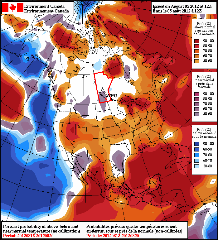
After a period of cool weather over the last while, warmer conditions are set to return.
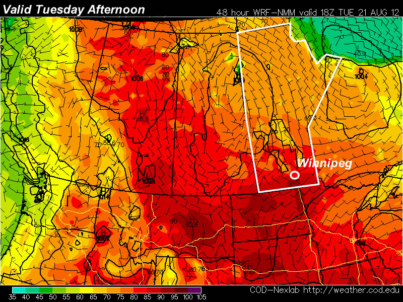
A ridge of high pressure will build over the Prairies this week, allowing for some of the warmest weather we’ve seen this August to develop. Monday will be a pleasant day, with high temperatures in the mid to upper twenties. By Tuesday many areas should see their first 30C readings this month, as warmer air pushes in from the west.
The ridge will begin to break down on Wednesday and Thursday as a series of impulses move in from the Pacific. These impulses with have one or more low pressure systems associated with them, causing some unsettled weather to start developing over the Prairies later this week. It looks like an easterly flow will develop over Southern Manitoba on Wednesday out ahead of an approaching low. Depending on how the frontal features setup on Wednesday we may or may not see another 30C day. At this point it looks most likely that Wednesday will have temperatures in the upper twenties, rather than thirty, but there is the potential for warmer weather. On Thursday we may see our first risk of thunderstorms in a while as a strong southerly flow draws up more humid air from the south ahead of an approaching low pressure system.
As we move toward the weekend weather models show a series of fairly strong low pressure systems moving through our region. Should these systems develop more or less as predicted it would likely mean a rainy and cool last weekend of August.