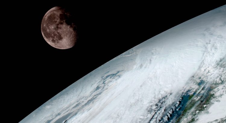
NASA has shared the first images from GOES-16, a new satellite launched in November. GOES-16 is notable for being a truly next-generation weather satellite that will dramatically increase the quantity and quality of satellite-based weather information.
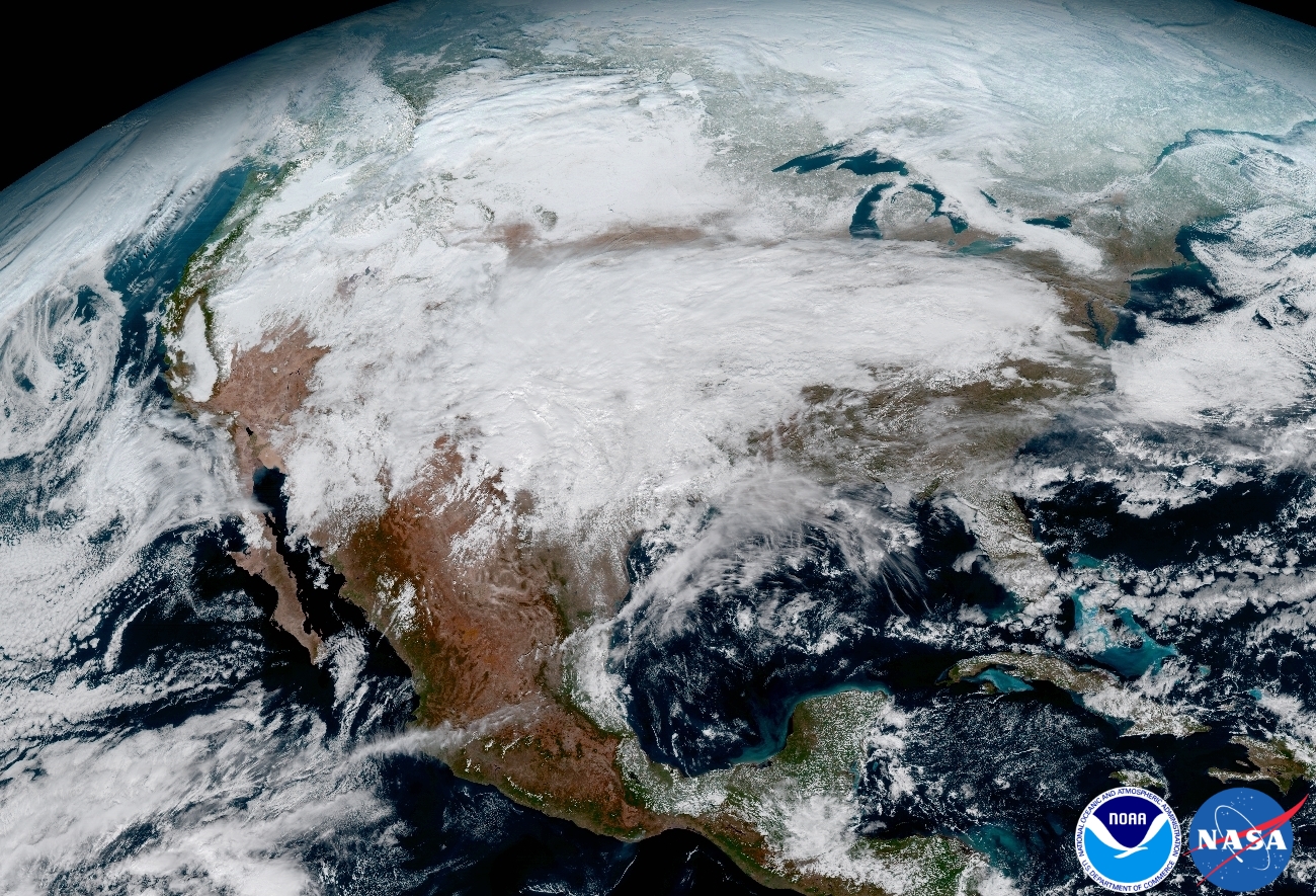
GOES-16 has 6 instruments onboard, two of which are related to weather. The Advanced Baseline Imager, which is the camera that looks down on the earth, will take pictures that are clearer and more detailed than current satellites. It can also scan half the earth, known as a “full-disk” scan, in 5 minutes. If NWS forecasters need to focus on severe weather, GOES-16 can provide smaller-region images every 30 seconds. This is faster than RADAR imagery can even be produced.
The images provided in the linked gallery above are seriously impressive. While the everyday imagery used in weather forecasting won’t be processed to look the same as these images are, the detail present will still be there. I can see this fundamentally shifting our understanding of the weather and allow both meteorologists and weather modellers to improve their forecasting abilities.
GOES-16 was formerly known as GOES-R and was launched on November 19, 2016.
GOES-16 will undergo testing and calibration for much of 2017. It is planned to go operational in November.
A press release regarding these images is available here.