After the blast of winter Winnipeg and the rest of Southern Manitoba recieved last week where some regions recieved upwards of 7” of snow, spring has begun its march towards Southern Manitoba. After a cooler day today, we’ll see temperatures climb into the low single digits for the rest of the week. Some weather models show suprising heat building into the province, so the big question is: just how warm is it going to get?
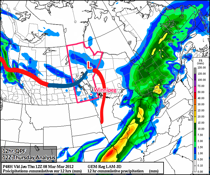
GEM-REG model image valid 12Z Thursday morning. Shaded areas are 12hr. precipitation accumulation. Red lines represent warm fronts and dark blue lines represent the cold front.
Southern Manitoba will start today on the cold side of a baroclinic zone that carves across Central Saskatchewan into North Dakota. This will limit our temperatures into the low minus single digits with daytime highs through the Red River Valley reaching only -7 or -8°C with a light northwest wind.
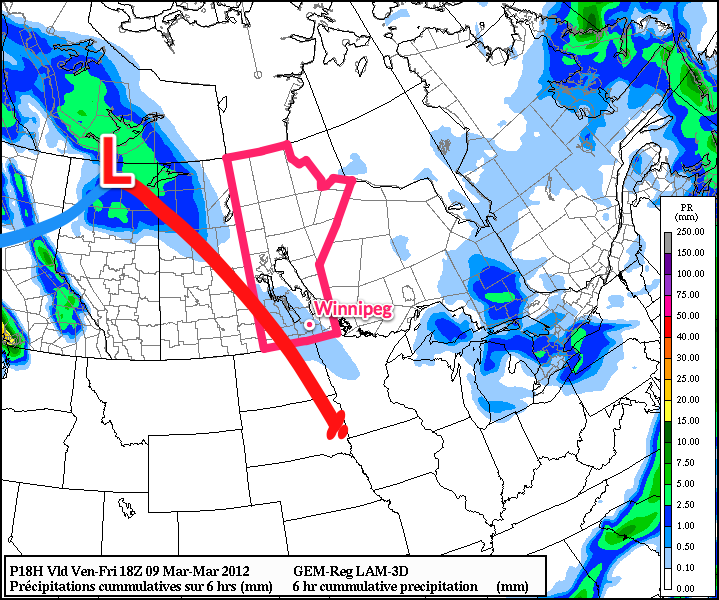
Winds will veer to the southwest in the evening as a low pressure system track through the Central Prairies drags a warm front across Southern Manitoba. This front will have a few scattered flurries associated with it, but accumulations should be only from a skiff to a cm. After the front passes overnight, temperatures will be on the up and up for the forseeable future.
On Thursday, we should see temperatures climb to around -4°C through the RRV under sunny skies. Thursday night temperatures will drop to between -15 and -20°C on the last cold night for a while. On Friday, temperatures will climb above zero and stay there through the night as temperatures are sustained by a southerly wind supplied by a powerful low pressure system tracking along the 60th parallel. Warm temperatures combined with a south-east wind will likely result in fairly cloudy skies as moisture from the melting snow is trapped underneath all the warm air aloft.
In the long term, models continue to pump warm air over Southern Manitoba. Warm temperatures will be the name of the game as low after low tracks across the northern Prairies. Little precipitation is in the forecast over the next 10 days, and the real question is just how warm will it get? High temperatures will be highly dependent on snow cover and, thus, difficult to accurately forecast. We’ll have to see just exactly how quickly the snow cover is eroded to get a better handle on high temperatures next week.
When a substantial snowpack is in place, daytime temperatures can have extreme difficulty rising much above 0°C regardless of the temperatures even a couple hundred feet off the ground. In Winnipeg, temperatures will often top out at 2 or 3°C under light or southerly winds. Under a westerly or south-west wind, temperatures can reach as high as 6 or 7°C, even with a snowpack.
The GFS currently has all the snow melting over the RRV by the middle of next week, and subsequently is able to pump up daytime highs as high as 16°C. This seems somewhat unrealistic, given how the snowpack was substantially reinforced at the end of last week.