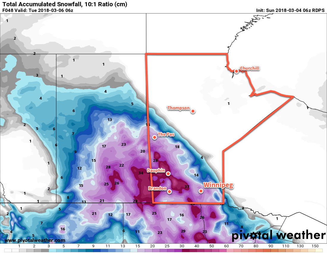
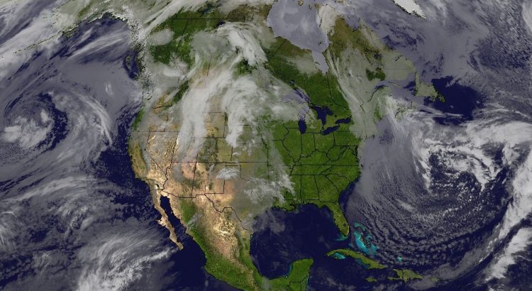
A potent winter storm is brewing south of the border and will move northwards into Saskatchewan and Manitoba today and tonight. Weather models have been on a bit of a wild ride over the past 48 hours, moving the heaviest snow from the Red River Valley west into eastern Saskatchewan and now back eastwards into Manitoba.
It cannot be understated: this system is complicated. This storm will be the combination of 3 different events: the first batch of snow will impact central Saskatchewan eastwards to western Manitoba, the second will impact eastern Saskatchewan eastwards to the Red River Valley, and the third will impact western Manitoba eastwards to the Ontario border.

With the eastwards shift of the overnight model runs, the Red River Valley may about to receive a rather significant dump of snow on Monday. Several models suggest event-total snowfall amounts in the 20 to 30 cm range, while closer to the Saskatchewan border may see 30 to 40 cm. Granted, it’s just one model run, but this shift has been reflected across several different weather models.
In general, the current Environment and Climate Change Canada forecast has a good handle on the expected progression of events, the main potential difference being that snowfall amounts on Monday may be substantially more if the late-night model runs turn out correct. EC³ has numerous warnings – both heavy snowfall and winter storm – covering the various severities of this system. Currently Winnipeg is under a heavy snowfall warning, but if there is growing consensus on higher amounts, that may end up switched to a winter storm warning.
After days of anticipation, the forecast will gain significant clarity today. This storm is finally developing, and soon it will contain actual weather features that can be tracked and compared to model output, greatly enhancing the ability to forecast it.
We’ll be continuing to monitor the development of this system and have more details in our next regular forecast post. In the meantime, follow us on Facebook or Twitter to receive micro-updates as this system develops tonight!

