Winnipeg will enjoy benign weather this weekend before the weather turns unsettled next week.
A ridge of high pressure moving into the province will bring Winnipeg sunny skies and breezy conditions today. Temperatures will climb to a high near 21°C today with northwesterly winds picking up into the 30 gusting 50 km/h range. Winds will abate quickly this evening as the ridge moves in and sends temperatures to a low near 8°C.
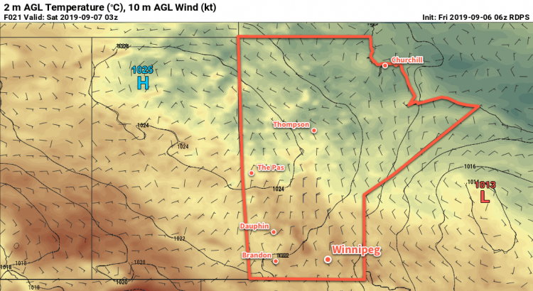
On Saturday, a low pressure system crossing through the Northern Plains of the United States will graze the region. The rain will stay south of the border, but plenty of cloud will spread into the region. Winnipeg will find itself near the cloud edge, likely leading to mixed skies through the day. Areas south of Winnipeg will see cloudier conditions while areas north see a bit more sun. Temperatures will be cooler with a high near 17°C, but lighter winds will make for a relatively nice day. The cloud cover will clear out on Saturday night with temperatures heading to a low near 5°C.
Mainly sunny skies will return on Sunday with temperatures climbing to a high near 19°C. A weak ridge of high pressure will extend across southern Manitoba, keeping winds light. More cloud will begin pushing back into the region on Sunday night ahead of the next disturbance. Temperatures will head to a low near 8°C.
Long Range Outlook
A major change in the weather is forecast next week as several major low pressure systems are forecast to move through the region.
The first is a Montana Low that is forecast to spread rain with the risk of thunderstorms into southern Manitoba on Monday night. This system will be very sensitive to the location of a high pressure system over the northern Prairies; it will be pumping dry air southwards as well as support a strong deformation zone along the northern flank of the low. If the high slumps further south, the rain could end up remaining south of the border. Current forecasts have the rain tapering off on Tuesday with the potential for a widespread 10 to 30 mm.
The second system is a Wyoming low forecast to push into Manitoba on Thursday night. This low will support a large area of thunderstorm activity across the Northern Plains and spread a broad area of rain with the risk of thunderstorms into parts of Saskatchewan and much of Manitoba. It’s far out, so the forecast on this system is definitely subject to change, but could produce a widespread 20 to 40 mm over much of southern Manitoba.
We’ll be keeping an eye on these systems as they develop heading though next week.
Today’s seasonal daytime high in Winnipeg is 20°C while the seasonal overnight low is 8°C.