Winnipeg will be able to enjoy some beautiful weather to start December!
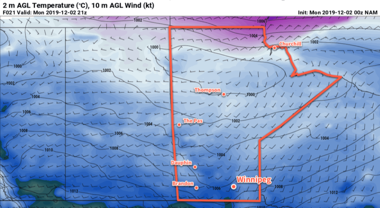
Winnipeg will see a pleasant stretch of weather in the week ahead as an upper-level ridge builds across the Prairies. Over the coming days, the city will see highs just below freezing and lows in the -6 to -8°C range. Winds will be breezy today out of the south near 30 km/h, but lighter westerlies will develop for Tuesday and Wednesday.
The city will see variable cloudiness over the next couple days. Between left-over low cloud clearing out of the region today and some cloud from an upper trough passing through, the city will likely see periods of sun, mixed, and cloudy skies. That said, we should see some sun each day, and the most organized cloud will push in through the day on Wednesday.
No snow is in the forecast over the coming days.
Long Range Outlook
The second half of the week will see slightly cooler conditions move in behind a cold front that moves through Wednesday night. This front won’t produce any notable snowfall with its passage and temperatures are forecast to slump back to seasonal values. Warmer weather will likely return Saturday, alongside cloudy conditions, as a low crosses through the region. A push of colder air will then follow to start next week.
Today’s seasonal daytime high in Winnipeg is -7°C while the seasonal overnight low is -16°C.