Slight Risk of Thunderstorms Ushers In A Pleasant Weekend

Winnipeg will see a slight chance of a thunderstorm this afternoon, then see conditions settle for a pleasant weekend.

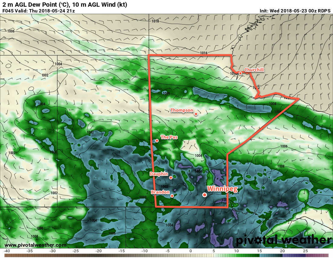
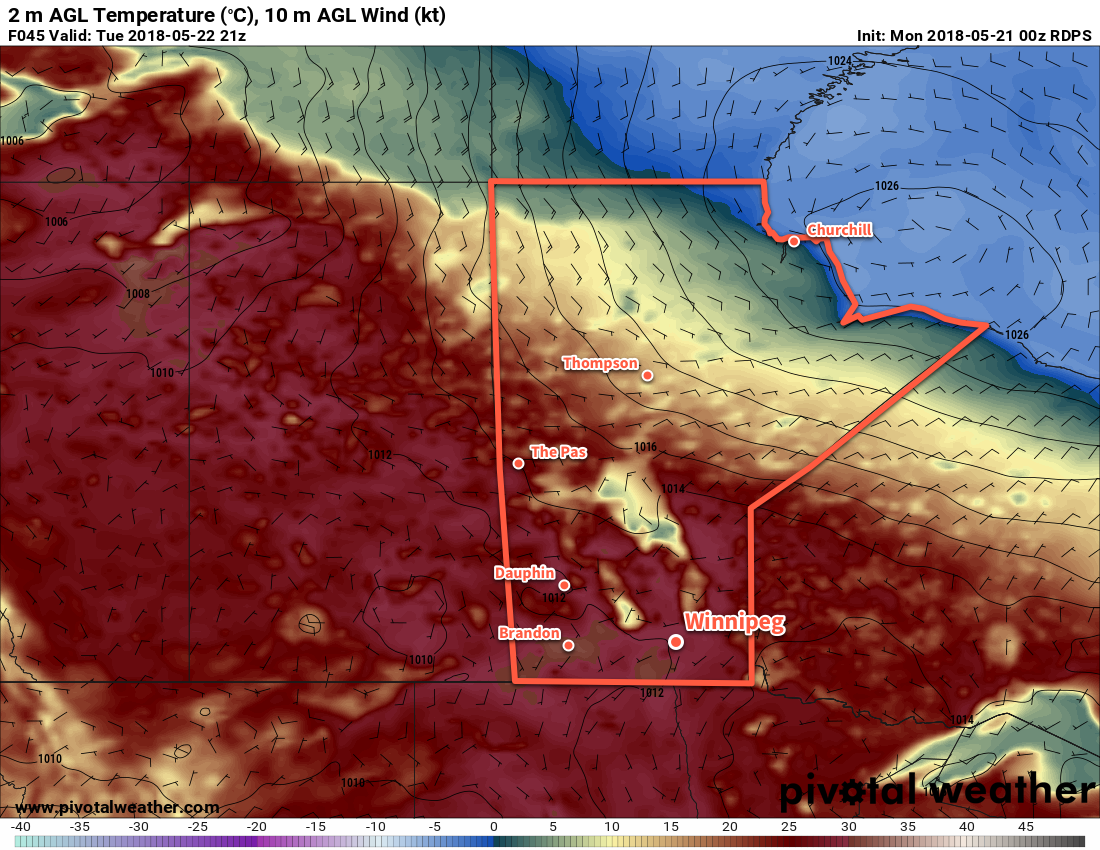
It will be another hot day in Winnipeg today as temperatures climb to a high near 30°C. Today’s humidity will be lower, making the heat more comfortable than the muggier conditions that were in place yesterday. Scattered showers and thunderstorms will develop over western Manitoba this afternoon and move southeastwards. Winnipeg will be on the eastern extent of this activity and will see a slight chance of a thunderstorm late in the afternoon or early evening. Skies will remain partly cloudy overnight as temperatures dip to a low near 15°C.

RDPS 2m Temperature Forecast valid 21Z Friday May 25, 2018
Daytime highs will once again climb to near 30°C over the Red River Valley today

Saturday will be a lovely day with mixed skies and a high near 25°C. Winds will be a bit more noticeable out of the northwest at around 20 km/h. Skies will clear out for the evening with temperatures dipping to a low near 15°C on Saturday night.

The heat returns to Winnipeg on Sunday, sending temperatures to a high near 28°C. Cloud cover will increase over the Red River Valley for the afternoon, making for a comfortable afternoon: warm but with a break from the sun. Temperatures will head to a low near 14°C on Sunday night under mixed skies.

Long Range Outlook

Monday looks to be much like Monday, then the humidity returns for Tuesday with unsettled conditions bringing the chance of showers and thunderstorms back to the region.

The rest of the week will bring variable cloudiness and seasonably warm temperatures.

Winnipeg’s seasonal daytime high is currently 22°C while the seasonal overnight low is 8°C.


draft #awm/forecasts #awm/weather tags

Hot, Humid Summer Weather Arrives

Get the air conditioners ready: hot and humid weather is on the way for Winnipeg.

Winnipeg will see the first true blast of summer heat as a muggy Gulf of Mexico air mass builds into the region tonight. While daytime highs will be similar to those seen over the past few days, dew points climbing into the upper teens will bring warm overnight lows and muggy conditions on Thursday afternoon with humidex values in the mid-30s.

However, with this hot and humid weather will come the first significant thunderstorm threat of the year. Winnipeg will see increasing cloudiness Wednesday evening and a slight chance of showers or thunderstorms overnight. There should then be a reprieve with mixed skies until Thursday afternoon when an upper-level disturbance begins working into the region. Most of the thunderstorm activity should hold off until later in the day, but it’s likely that showers and thunderstorms develop in the evening.

RDPS 2m Dew Point Forecast valid 21Z Thursday May 24, 2018
Dew points will climb to nearly 20°C on Thursday afternoon in Winnipeg, making for a very humid afternoon.

Looking at the MIST principles:

  • Moisture: Deep moisture with dew points in the upper teens will provide plenty of energy for the storms to work with.
  • Instability: Moderate with MLCAPE values near 3000 J/kg transitioning to around 2500 J/kg of MUCAPE as the evening progresses.
  • Shear: Will be low to moderate with roughly 20 to 25 kts of bulk shear.
  • Trigger: An incoming shortwave will provide mid-level destabilization to help initiate convection.

All this combines for a threat of severe thunderstorms with primary threats of large hail and wind gusts in excess of 90 km/h. The high dew points will also support heavy rain with localized amounts of 30 to 50 mm possible as the shortwave moves in on Thursday night.

Thursday afternoon will also bring some breezy conditions with winds out of the south near 30 km/h.

Friday will bring potentially unsettled conditions as an upper low moves through the region. With relatively humid conditions still in place, mixed skies are likely with scattered showers or thunderstorms moving through the region.

Long Range Outlook

A bit of relief from the heat will arrive for the weekend with daytime highs cooling slightly on Saturday and humidity levels dropping. The heat quickly builds back in on Sunday with highs near 30°C again.

Next week looks to kick off with an unsettled and warm trend. Daytime highs in the upper 20’s look likely, along with mixed skies and several chances for showers or thunderstorms.

Winnipeg’s seasonal daytime high is currently 21°C while the seasonal overnight low is 7°C.

Summer Heat On The Way

Winnipeg will see temperatures in the upper 20’s for much of the week as the season’s first humid spell builds into the region.

Temperatures will be hot in Winnipeg over the next three days. Daytime highs near 29°C will be in place through Wednesday and are about 7-8°C above seasonal. Overnight lows will rise dramatically over the next few days as southerly winds bring humidity northwards into the province.

This increase in humidity will be one of the most significant changes this week. For the past several weeks, dew point temperatures have remained at relatively low values. This week, dew points are forecast to rise into the low teens on Tuesday, then further into the upper-teens on Thursday. This will be the first occurrence of relatively humid conditions this year.

RDPS 2m Temperature Forecast valid 21Z Tuesday May 22, 2018
Temperatures across southern Manitoba will climb towards 30°C on Tuesday afternoon.

Besides warm, the next few days will be pleasant. Winds will be a bit breezy out of the south today at 20 to 30 km/h, then will ease to the 10 to 20 km/h range for Tuesday and Wednesday. Winnipeg will see sunny skies today, but the region will see a bit more cloud with mixed skies on Tuesday. On Wednesday, Winnipeg should see partly cloudy skies. The southern Red River Valley will see more cloud as it spreads out of North Dakota ahead of a low pressure system moving towards the region.

Long Range Outlook

More extensive cloud cover will build into the Red River Valley on Thursday as a low pressure system moves into the region. This disturbance will bring a good chance of showers or thunderstorms Thursday night through Friday. A cold front looks to sweep through late Friday, beginning to clear the cloud and humidity out of the region.

The weekend is looking pretty great with seasonably warm highs in the mid- to upper-20’s and plenty of sunshine.

Winnipeg’s seasonal daytime high is currently 21°C while the seasonal overnight low is 7°C.

Rain Brings Much Needed Drought Relief

Widespread rain across the Red River Valley on Friday will bring long-awaited relief from the drought that has been in place through the region this spring.

A low pressure system moving through North Dakota today will spread much-needed rain across southern Manitoba. Beginning in the morning as showers, the precipitation will gradually evolve into a steadier rain in the afternoon. There will be a chance for a few thunderstorms across the region, particularly through the morning near the American border. Winnipeg will likely see another 10 to 20 mm of rain by the time it all tapers off, with higher amounts of 20 to 40 mm further south in the Red River Valley. Localized amounts in excess of 50 mm are possible over the southern Red River Valley into southeastern Manitoba, but would be restricted to any areas that saw more intense thunderstorm activity.

NAM 24hr. Rainfall Totals valid 12Z Saturday May 19, 2018
The NAM is forecasting 13mm of rain for Winnipeg with this system, but higher amounts in excess of 25mm for other parts of Southern Manitoba. Total rainfall amounts will depend significantly on the extent and intensity of convection and could vary significantly from these values.

The rain will come to an end Friday night. The cloud cover will then begin to break up as the temperature drops to a low near +4°C. The northerly winds of 20 to 30 km/h will taper off to light by early Saturday morning.

Saturday will bring light northerly winds to Winnipeg – a bit breezier at 15 to 25 km/h over the southern Red River Valley – and clearing skies. Temperatures will end up just a tad below seasonal with a high near 17°C. Skies will remain clear on Saturday night with temperatures dipping to a low near 7°C.

Sunday will be a beautiful day in Winnipeg as a ridge of high pressure moves through. Under sunny skies with light winds, temperatures will climb to a high near 23 or 24°C. Skies will remain clear Sunday night with a low near 8°C.

Long Range Outlook

Next week looks like it will bring beautiful summer weather with plenty of sun and highs in the upper 20’s!

Winnipeg’s seasonal daytime high is currently 20°C while the seasonal overnight low is 6°C.