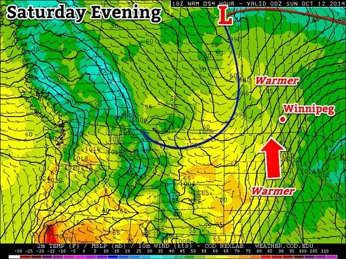
Cooler temperatures have moved into Southern Manitoba behind a low pressure system that brought a few showers and strong northerly winds as it moved across the Red River Valley yesterday evening. Today will be a cool, dreary return to chilly fall weather, but a gradual moderation of temperatures is in store for the remainder of the weekend.
A less-than-pleasant day is in store for Winnipeg today as breezy northerly winds around 30km/h continue to push a cool air mass southwards into the Red River Valley, leaving us with a dreary day with a high barely above where it starts the day off at. The temperature will struggle to climb to 7 or 8°C today under cloudy skies alongside a slight chance of drizzle or shower activity. Skies will remain mainly cloudy tonight with a chance of a few clear breaks late overnight; the temperature will drop to between 0–2°C for the overnight low.
")
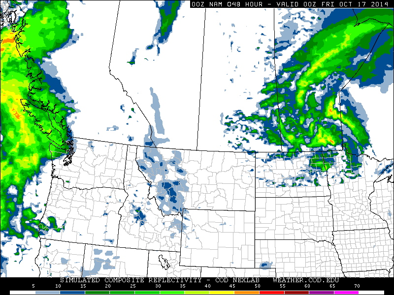
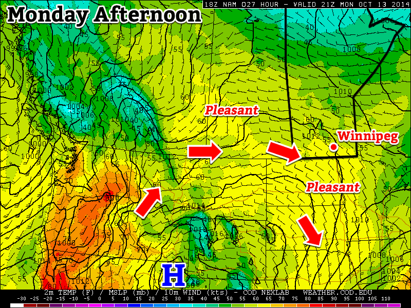
There isn’t too much to say about the weekend other than conditions will gradually improve. Saturday looks fairly cloudy with a high near 10°C and light winds. A partly cloudy night will see the temperature dropping to 6°C or so. Sunday will be quite a pleasant day with temperatures climbing back above normal under mainly sunny skies. Expect a high near 14–15°C and an overnight low on Sunday night near 3°C. At this point, it does look like a low pressure system will move through the Interlake on Sunday, bringing some showers along with it. Current indications are that all of that activity will remain to the north and east of Winnipeg, but we’ll keep an eye on it as the system develops.
Heading into next week looks very nice with temperatures returning to the upper teens as another upper-level ridge builds into the Prairies, spreading mild Pacific air eastwards once again.