Although temperatures will remain well below normal, we’ll see a pleasant weekend ahead when compared to the weather we’ve had as of late.
4°C / -14°C
Sunny.
2°C / -4°C
Increasing cloudiness in the afternoon.
2°C / -3·C
Cloudy; rain or snow beginning midday.
The next two days will be fairly nice despite the cool air that remains entrenched over the province. Both Friday and Saturday will provide plenty of sunshine and daytime highs climbing a few degrees above zero. We should see substantial snow-melt here in Winnipeg over the next two days thanks to that increasingly strong April sun. We’ll see a cooler night tonight as winds lighten up allowing us to radiate more heat away than the past couple nights. Temperatures will likely drop into the minus teens tonight while cloud cover will keep us substantially warmer on Saturday night.
Stormy Sunday

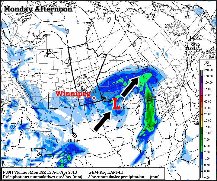
For Sunday, an Alberta Clipper will make it’s way across Southern Manitoba and while many aspects of the system look to be relatively innocuous, it looks poised to pack a punch precipitation-wise. Snow will push into the Red River Valley midday, but the afternoon brings a particular challenge. Warm air will be advected northwards in the southeast flow ahead of this system, slowly warming the lower-levels of the atmosphere. Some indications are that preciptiation will switch over to rain in the afternoon, especially for the central Red River Valley and areas eastwards. It’s a very challenging problem and the phase of the precipitaiton will make a significant impact: around 10mm of liquid-equivalent precipitation and if it ends up falling as snow, that could quickly amount to another 6-10cm of the stuff. It’s almost a certainty that areas east of the Red River Valley will see mainly rain and areas west of the Red River Valley will see mainly snow.
At this point I think we’ll end up seeing a mix here in Winnipeg, with predominantly snow in heavier areas of precipitation. I’m not going to wager too much on accumulations right now; it’s likely that much of the snow will melt on contact with the ground as temperatures will likely remain just over the freezing mark. The system will move off overnight leaving clearing skies on Monday morning.