At the risk of sounding like a broken record, more of the same is ahead for the rest of the week with daytime highs near 0°C.
Mainly sunny.
-2°C / -12°C
A mix of sun and cloud
0°C / -7°C
Mainly sunny.
1°C / -5°C
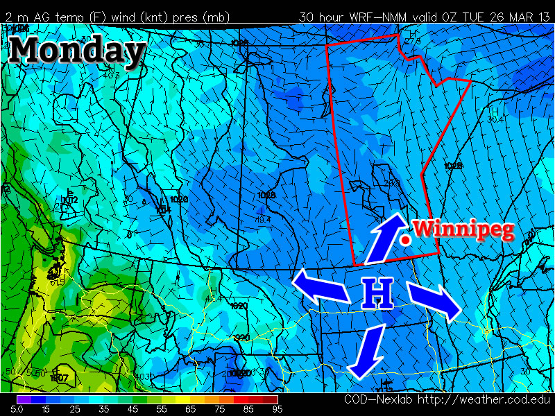
We’ll see temperatures climb a degree or two each day through the rest of the week as the sun continues to slowly chip away at the cooler air over the province. The normal daytime high for this time of year is around 3–4°C, so we’ll still remain a little below normal over the next few days. We’ll see some cloud move in tonight, which should help keep the overnight lows from dropping too much. Skies will clear out on Thursday with sunny skies being dominant through the rest of the week. Overnight lows should actually end up moderating a bit as some warmer air pushes in aloft.
This benign weather pattern looks to continue for at least another 7–10 days with no significant weather systems expected to move through Southern Manitoba. This slowly warming, dry weather is good news in light of the most recent flood forecast which has been upgraded to a risk of moderate to major flooding in the Red River Valley.