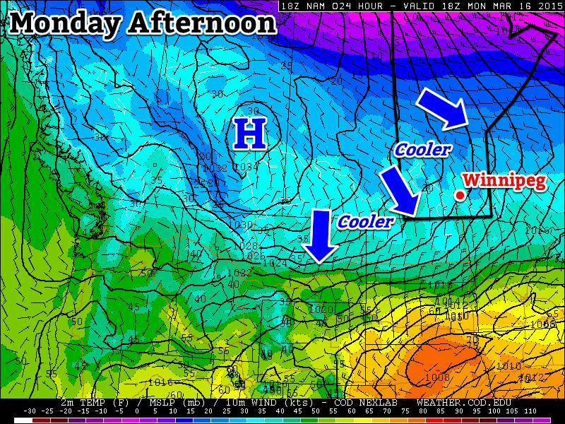
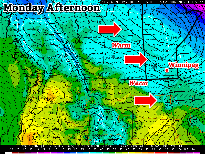
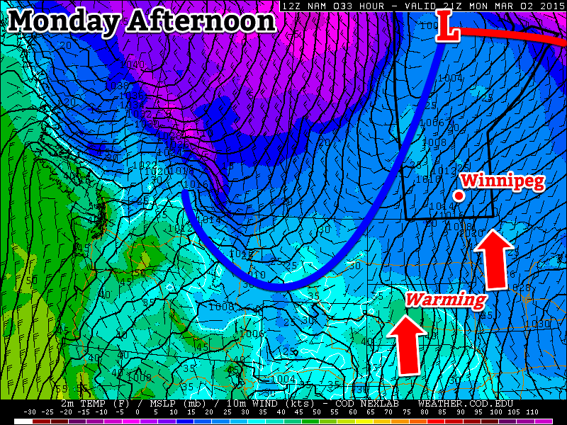
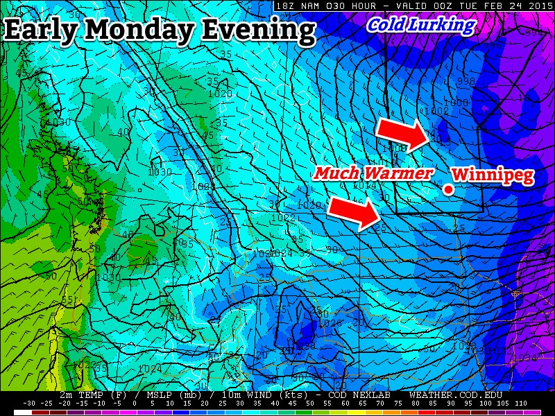
This week will see somewhat cooler conditions than what we experienced on the weekend, but temperatures will remain above-seasonal nonetheless.

Monday
Today will be mainly cloudy as extensive upper cloud moves through southern Manitoba. Some precipitation will pass to our south early in the day, potentially giving us a light shower or flurry. Temperatures will certainly be cooler than the record “heat” of Sunday, but with highs in the low single digits, conditions will still be above-seasonal. A chilly north wind will be responsible for ushering in these cooler conditions and also add a slight wind chill factor throughout the day.
Tuesday
Tuesday will be similar to Monday temperature-wise, but it should be a sunnier day. Skies will be a mix of sun and cloud with breezy north-west winds. A light shower or flurry will be possible due to some low-level instability developing, but any accumulations will be small.
Wednesday
Wednesday will once again see temperatures in the low single digits under a mixture of sun and cloud. There is a slight chance of a shower or flurry again, though the chance will be lower than on Tuesday. Winds will be light and from the south.
Long Range
The long range forecast suggests we should see generally above-seasonal conditions for the rest of the month. Now that our snow cover is gone the ground can effectively absorb solar radiation, converting it to sensible heat. As the ground dries out this process will become even more efficient. Our normal temperatures will gradually increase over the next few weeks, meaning that above-seasonal weather today will become more normal by month’s end. There is no sign of any significant precipitation in the forecast at this time, so flooding should remain minimal in the Red River Valley this spring.


