Winter-weary Winnipeggers can take solace in the fact that an end to the never-ending winter is in sight. There is increasing confidence that a large upper-level ridge will build into the Central U.S. and Southern Prairies early next week and finally bring some seasonal to slightly above seasonal temperatures to the region. First, though, we’ll have to make it through the rest of the week.
A Cold End to the Week
Cold temperatures will continue to persist through the remainder of the week with well below seasonal highs and lows expected. These cold temperatures are being caused by a large stationary trough of cold air over Hudson Bay that has locked the eastern Prairies into a northwesterly flow that has allowed cold Arctic air to spill southwards, dashing the warm-weather hopes of battered and beleaguered Manitobans.
Tonight will be the coldest night for the remainder of the week in the Red River Valley thanks to another push of cold air on the back side of a low pressure system passing to our south. There will be a strong chance of another swath of record low temperatures broken – similar to Monday night – as overnight lows dip some 15-20°C below normal.
Thursday brings a similar high to today, around -2°C, however temperatures just off the ground will be a little bit cooler. This combination will result in stronger low-level instability and we could potentially see a few light flurries develop through the Red River Vally similar to what was seen on Monday afternoon. Overall the risk is very slight, though. Temperatures will drop to a more mild -10°C Thursday night as warmer air begins pushing eastwards.
Friday will be the warmest day so far this week. Temperatures look to climb above the freezing mark towards +4 or +5°C with only a bit of cloudiness to contend with. Winds will be a little breezy out of the southeast to around 20-30km/h, but overall it will be quite a pleasant day with plenty of sunshine. Some cloud will begin streaming in late in the day ahead of the next system pushing towards the region. The cloudier skies will help keep our overnight low fairly warm, with a chance we won’t even drop below 0°C. We may have to contend with some unpleasant weather through the overnight hours, though…
Big Shift on the Weekend

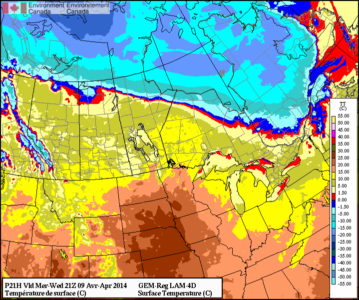
Models are all hinting towards some precipitation on Friday night into Saturday morning as a low pressure system lifts northeastwards through the Prairies. It’s still far too early to speak towards the system in much detail at all, other than saying the bulk of it looks to happen during the overnight period. Some models, such as the pictured output from the GDPS[1] really wind the system up and produce significant quantities of rain or snow while others lift the system much further north with little precipitation development. We’ll have more details on precipitation type and how much of what to expect later on in the week.
The bigger news is that this system marks a significant pattern shift as the upper level ridge we mentioned at the beginning of the article begins developing and pushing eastwards. As it does so, warmer air looks set to flood the Prairies, quickly launching our temperatures back towards seasonal to above-seasonal. Sunday will have temperatures close to normal[2] and we might see it get as warm as the low-to-mid teens on Monday, if we can manage to work past our snow cover.
Multiple days of near-to-just-above freezing temperatures coupled with the strong April sun should do quick work to melt the remaining snowpack across much of the Red River Valley. Melt will be minimal until the weekend, but even one or two days with temperatures in the 5-10°C range will do quick work with much of the remaining snow. Once we can eliminate the snow pack, extremely abnormal cold will be much harder to come by and it will be much easier to see seasonal temperatures.