Southern Manitoba will recover from the weekend rain quite nicely with warming temperatures and lots of sunshine.
A ridge of high pressure will bring plenty of sunshine to the Winnipeg region today with light winds. Temperatures will climb to a seasonably mild high around 6 °C this afternoon. Tonight, a decaying low pressure system will begin to spread cloud cover into the region as temperatures head to a low down to around -3 °C.
Tomorrow, Winnipeg and the Red River Valley will see mainly cloudy skies as the decaying system mentioned above moves through. The clouds will keep it cooler with a near-seasonal high in the low single digits and winds will continue to be light. Skies will gradually clear out tomorrow night with a low down near -5 °C.
For the rest of the week, an upper ridge will build into the Prairies, bringing sunshine and warm weather. Daytime highs will climb into the 5 to 10 °C range with lows near freezing or warmer for the second half of the week. Winds will become more present on Thursday with southerly winds strengthening into to 30–40 km/h range for the afternoon. Winds will become calmer again on Friday.
Long Range Outlook
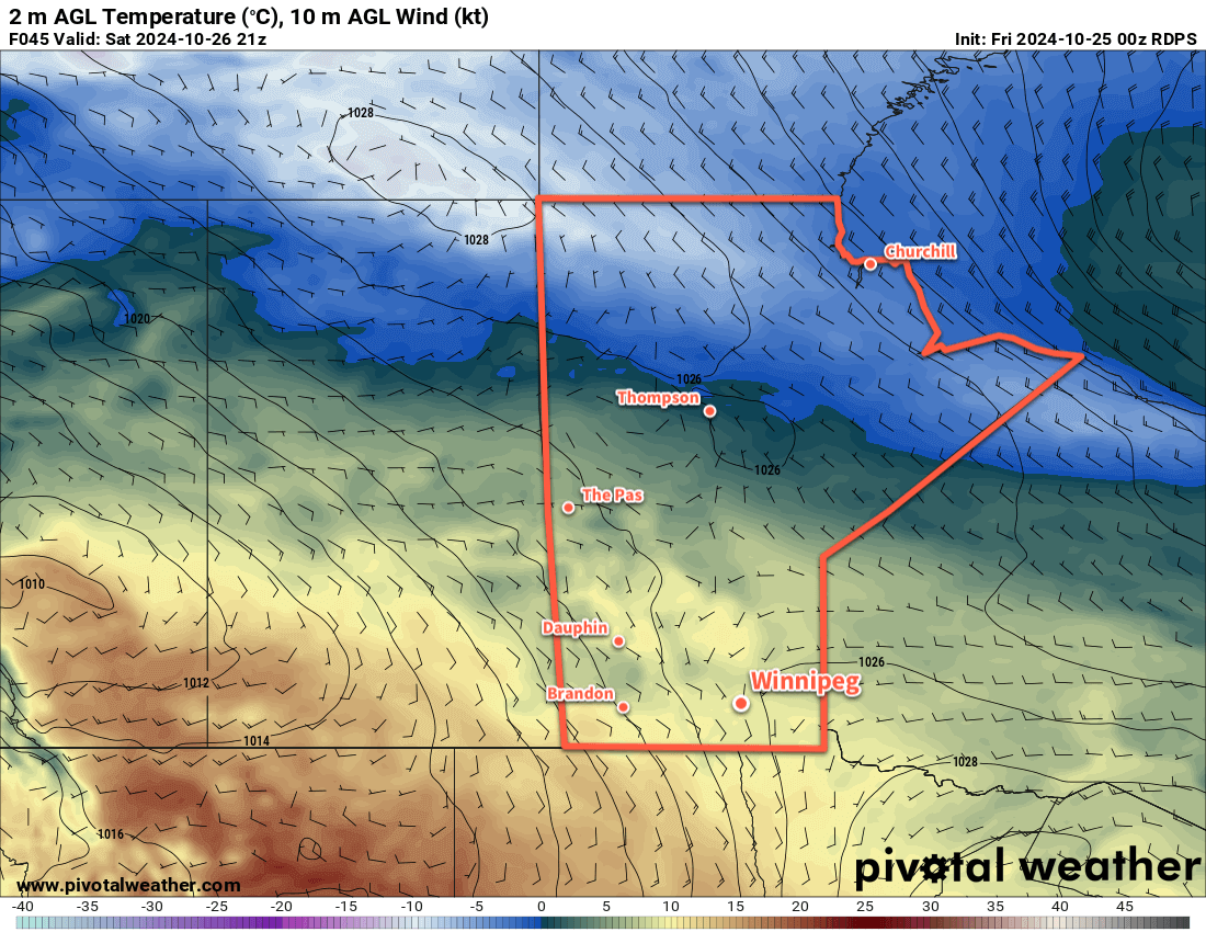
Pleasant conditions will last right through the weekend with seasonably warm daytime highs and mainly sunny skies. The pleasant conditions will continue into the start of next week week, but temperatures will begin to moderate towards more seasonal values.
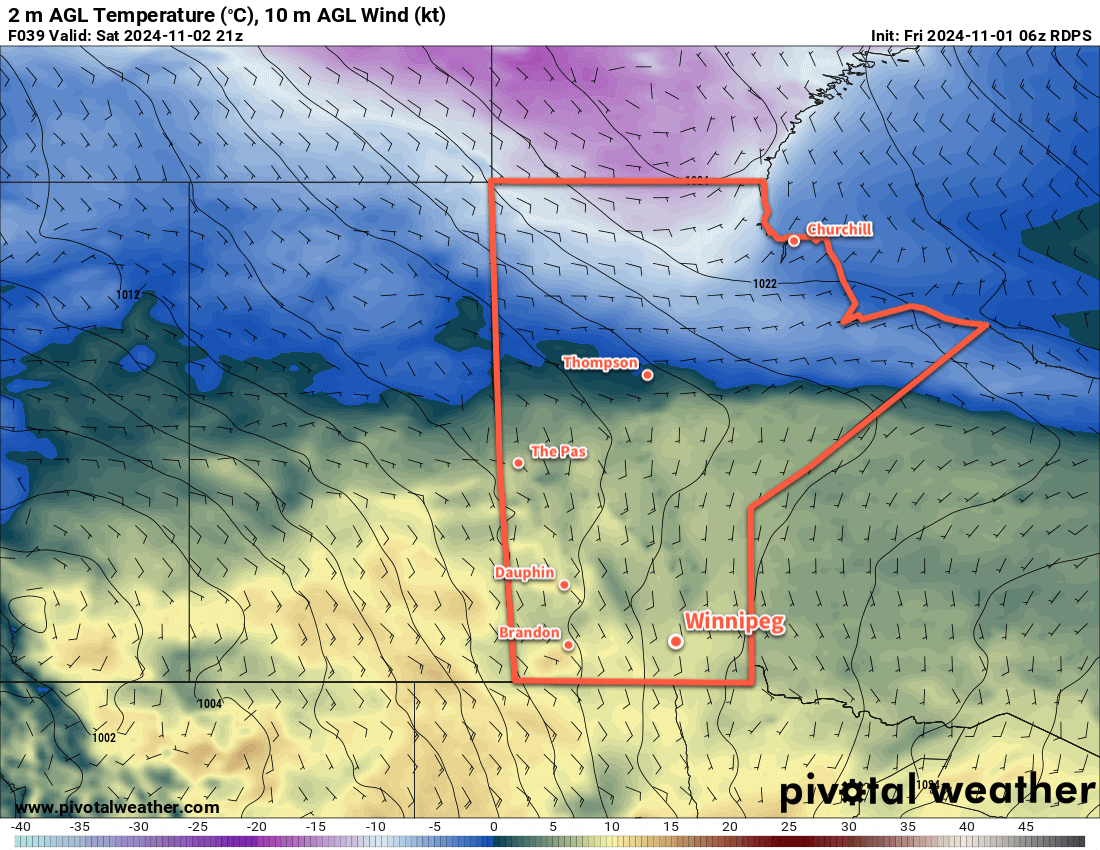
The next chance for precipitation looks to come in the middle of next week, and it could come as a mix of rain and snow. It doesn’t look like accumulations will be all that much, but we could see the first coating of snow of the season. Temperatures will continue to be mild, though, so it’s unlikely that the snow will stick!
Today’s seasonal daytime high in Winnipeg is +2 °C while the seasonal overnight low is -7 °C.