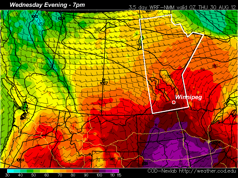
August closed out with another 30°C+ day, rounding out what ended up being another above-seasonal month, continuing Winnipeg’s above normal temperature streak to 14 consecutive months.
August 2012 Summary

August 2012 closed out with an average temperature of 19.2°C, 0.51°C above the normal of 18.7°C. At +0.51°C above normal, the month of August ended as the closest-to-normal month so far this year; the next closest was May which ended at 0.8°C above normal. The warmest day in August 2012 occurred on August 29th, where the mercury soared to 35.4°C, just shy of that day’s record of 36.1°C set in 1972. No new daily record high temperatures were set this August. The coldest night this August was on the night of August 18/19th where the temperature dipped all the way down to a chilly 4.5°C. This was well above August’s record low temperature of –1.1°C set in 1888. New new daily record low temperatures were set this August.

August ended with a significant deficit of precipitation compared to normal. Usually we see close to 80mm[1] of precipitation, however this month we saw just 44mm. This continues the Winnipeg’s precipitation deficit to 3 consecutive months.
In other miscellaneous August statistics:
- We finished the month with 6 days at or above 30°C.
- August 2012 ended up as only the 45th warmest August on record.
- The greatest precipitation event this august was 23mm on August 4.
- This month’s precipitation accumulation of 44mm pales in comparison to the record wettest August that occurred in 1985, where Winnipeg received a whopping 218mm of rain.
- We quadrupled the record driest August’s (1915) total precipitation amount of 10mm.
2012 So Far
As mentioned before, August’s deviation from normal temperature of 0.51°C has continued the above normal trend for 2012. Every single month this year has been above normal temperature-wise and August marks the 14th consecutive month of such weather.
September 1st marks the start of meteorological fall, so we can take a quick look at Summer[2] 2012. Temperature-wise, we ended up as the 14th warmest summer, although it was an extremely close race…
| Year | Average Summer Temperature |
|
|---|---|---|
| 1 | 1988 | 21.0°C |
| 2 | 1983 | 20.6°C |
| 3 | 1961 | 20.4°C |
| 4 | 1955 | 20.2°C |
| 5/6 | 1930 | 20.1°C |
| 5/6 | 1963 | 20.1°C |
| 7/8 | 1933 | 19.9°C |
| 7/8 | 1995 | 19.9°C |
| 9 | 1991 | 19.87°C |
| 10/11/12 | 1919 | 19.83°C |
| 10/11/12 | 1921 | 19.83°C |
| 10/11/12 | 2006 | 19.83°C |
| 13 | 1936 | 19.767°C |
| 14 | 2012 | 19.761°C |
| 15 | 1932 | 19.7°C |
If you round to tenths, then there is a 5-way tie for 10th place, however looking closer, we can see the finer details and sort things out.

Looking again at our Winnipeg temperature anomaly climatology, we’ve added in August of this year, and we can now see that we are the most above normal that we’ve ever been. While we were chasing 1987 last month, with August’s +0.51°C temperature anomaly we’re now 0.25°C above 1987’s August YTD anomaly. At this point, it’s pretty much guaranteed that 2012 will end upon the top 5 hottest years on record, it’s just a matter of where exactly we end up.
June, July and August all had below-normal amounts of precipitation which has left us with a 118mm deficit for the summer months. Typical summer rainfall is 247.5mm, which puts this summer at only 52% the normal amount of precipitation. This is a troubling trend; 2011 placed as the 5th driest summer on record, and 2012 managed to sneak into the top 10:
| Year | Summer Rainfall | |
|---|---|---|
| 1 | 1929 | 76.7mm |
| 2 | 1886 | 77.2mm |
| 3 | 1961 | 91.0mm |
| 4 | 2006 | 91.5mm |
| 5 | 2011 | 93.0mm |
| 5 | 1889 | 96.0mm |
| 7 | 1894 | 97.1mm |
| 8 | 1915 | 114.8mm |
| 9 | 1936 | 121.4mm |
| 10 | 2012 | 129.5mm |
Due to our wet spring, however, we’re “only” 67mm below our normal precipitation amounts on the year so far.
The Rest of 2012
While seasonal forecast have very little skill, there are a few things that can give us an idea of how the rest of the year is going to shape up. With Arctic sea ice at a record low, it will take longer than normal to establish a pool of cold Arctic air. In particular, the delayed onset of ice over Hudson Bay can inhibit the development of a true Arctic vortex over the area. This feature sets up a strong NW flow over the NWT and eastern Prairies and is often responsible for the advection of Arctic air southwards into the Prairies and Northern Plains. The inhibition or absence of this feature means that, while cold outbreaks can never be ruled out, it’ll be much more difficult for the cold air to actually stick around.
Another feature to keep an eye on is El Niño, the feature responsible for bringing warmer waters to the eastern equatorial Pacific. When El Niño is weak, it’s effects can be limited to areas further west in the Prairies[3], however in moderate-to-strong El Niño events, Southern Manitoba will often see warmer-than-normal winters. In weak-to-moderate events, precipitation can be increased over the region as the storm track cuts through the area, but in stronger events, the storm track is often to our north and Winnipeg enjoys relatively warm, dry winters in a bit of a no-man’s-land in the middle of a strong split upper flow.
That being said, it’s quite likely that the onset of winter will be delayed due to the delay in development of a pool of cold Arctic air, and it’s all but guaranteed that 2012 will go down as one of Winnipeg’s warmest years on record.