The mild weather will continue in Winnipeg with nothing but seasonal to above-seasonal temperatures in the forecast.
A combination of two large-scale pattern features will keep winter at bay over the southern Prairies over the coming week. First, persistent troughing over the eastern Pacific is supporting a general ridging pattern not only over the west coast, but also into the Rockies as well. Secondly, the Polar Vortex remains locked away further north over Baffin Island rather than being positioned in its usual spot over Hudson Bay for this time of year. These two things, working in tandem, are supporting a pattern that keeps the colder winter air locked up well into the Arctic while surges of milder Pacific air repeatedly wash over the Prairies. Little change to this broad, large-scale pattern is in the forecast.
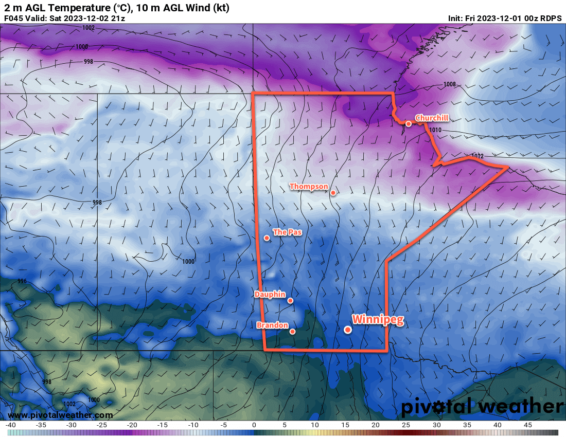
As a result, Winnipeg will continue to see, mostly, more of the same. Today will bring mixed to cloudy skies as an upper trough moves through the region with a high just shy of 0 °C. Skies will clear overnight with temperatures heading to a low in the -10 to -15 °C range. On Saturday, sunshine returns to the region as more warm air pushes across the Prairies. Temperatures will again climb to a high in the -5 to 0 °C range. As a frontal wave drops into central Manitoba, the Red River Valley will see increasing cloudiness heading into Saturday evening.
The warmer air will move through overnight, resulting in a mild low only around -5 °C on Saturday night under mostly cloudy skies.
On Sunday, temperatures will stay more or less steady as a cold front sweeps into the region. Winnipeg should see mixed skies with northwest winds picking up to 30 gusting 50 km/h for the afternoon. Heading into Sunday night, the winds will ease as temperatures head back to a low in the -10 to -15 °C range.
Some flurries are possible with the passage of the cold front, but no accumulating snow is expected.
Long Range Outlook
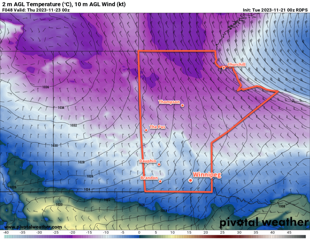
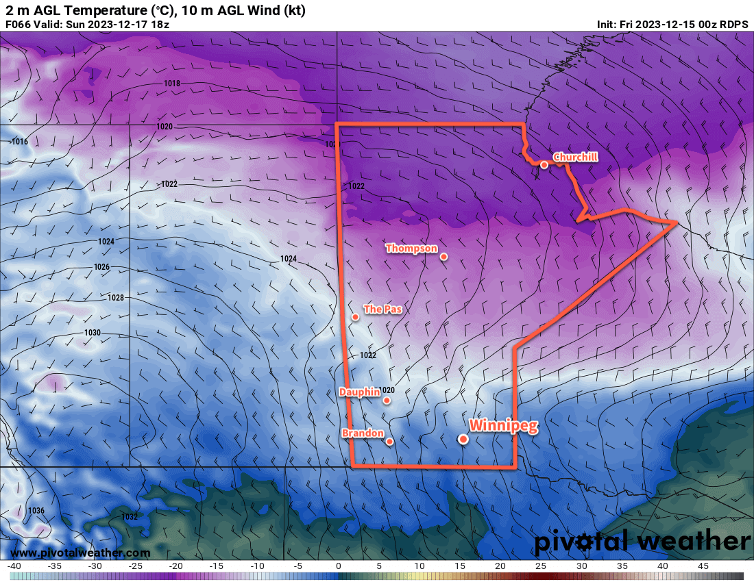
Next week will start off a bit cooler than this week with highs likely in the -10 to -5 °C range, but warmer weather is forecast to push back into the region through the second half of the week. Heading into the days before Christmas, daytime highs could be back up above freezing.
The question abounds on whether or not it will be a white Christmas in Winnipeg. While it doesn’t look like we’ll be seeing enough warmth to get rid of the existing snowpack, odds are there isn’t going to be much snow for Christmas. We’ll see if any notable snow enters the forecast in the days right before the holiday, but if the forecast holds, you may have to find replacement activities for any sledding or skating traditions!
Today’s seasonal daytime high in Winnipeg is -10 °C while the seasonal overnight low is -20 °C.