The scorching heat and dangerous fire conditions will persist in Winnipeg and the Red River Valley for another day before the heat shifts east and showers and thunderstorms move into the region.
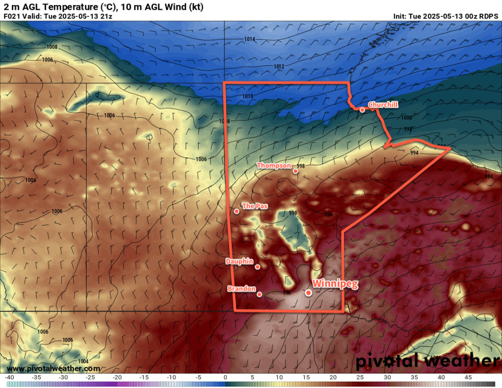
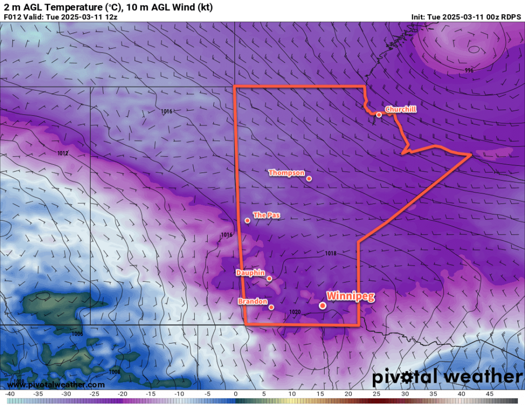
Winnipeg will be off to a hot start today with temperatures in the low 20s that quickly climb to 30 °C by lunch. Southerly winds will pick back up to 40 gusting 60 km/h as temperatures continue to climb to a high in the mid-30s. Relative humidity will again drop below 20% today, which coupled with the heat and moderate winds will pose another risky fire weather day for the region. There will be a slight chance of an isolated evening shower or thunderstorm, but nothing substantial is expected for the region. Temperatures will head to a low in the mid-teens tonight with winds shifting to the north and easing.
On Wednesday, an upper low will shift from Idaho into southern Saskatchewan. As it pushes into the region, it will support a broad area of showers and thunderstorms that move from southeast Saskatchewan into western Manitoba and across the Interlake region. This broad area of cloud and rain showers will intensify the temperature change across a warm front draped southwest-northeast across southern Manitoba. Over a short distance, temperatures will change from around 30 °C on the warm side of the front to the upper teens on the cold side of the front. Right now, Winnipeg is forecast to sit barely on the cold side of the front with a high in the mid-20s, but small changes in the position of that front may change the daytime high by 5 °C or more.
Showers and thunderstorms will blossom across Manitoba on Wednesday night, but much of the activity looks to move through west and north of the Red River Valley. Temperatures in Winnipeg should dip down into the mid-teens on Wednesday night with cloud cover beginning to move into the area.
On Thursday, the unsettled weather will shift east into the Red River Valley as a pair of shortwaves lift north out of the Dakotas towards southern Manitoba. Temperatures will peak in the low 20s as more cloud and scattered showers and/or thunderstorms push through the region. with moderate northwest winds up to 40 gusting 60 km/h developing through the day.
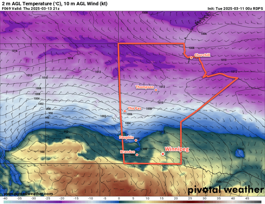
On Thursday night, unsettled showery conditions will likely transition to periods of rain as temperatures continue to cool and a much broader, more organized low pressure system develops. Temperatures will dip down into the mid-single digits overnight with moderate northwesterlies continuing.
Long Range Outlook
Heading into Friday, periods of rain will continue through the day as more cold air pushes into the region. Temperatures will hold steady or even fall through the day, potentially dropping as low as +1 or +2 °C. Heading into Friday night, temperatures may drop to freezing, and precipitation over the region could turn into a wintery mix of rain and/or snow with a risk of freezing rain. Those northwest winds will continue through the night.
Heading into the weekend, the precipitation looks to gradually taper off on Saturday with a high in the low single digits and easing winds. Temperatures may dip below freezing on Saturday night. Cloudy skies will likely stick around into Sunday with a warmer high in the 5 to 10 °C range.
Temperatures will slowly trend towards seasonal values this week, but another disturbance mid-week may bring more rain to the region and keep temperatures seasonably cool through the week.
Today’s seasonal daytime high in Winnipeg is 19 °C while the seasonal overnight low is 5 °C.