Seasonably mild conditions will continue in Winnipeg this week as a couple disturbances track through the region.
Daytime highs in the 0 to +3 °C range will continue through the rest of the work week for the Winnipeg area. Upper ridging over the western Prairies will continue to allow mild Pacific air to push east across the region.
There will be plenty of cloud cover this week, a result of both the disturbances tracking through the region and the extensive snow melt taking place across the region.
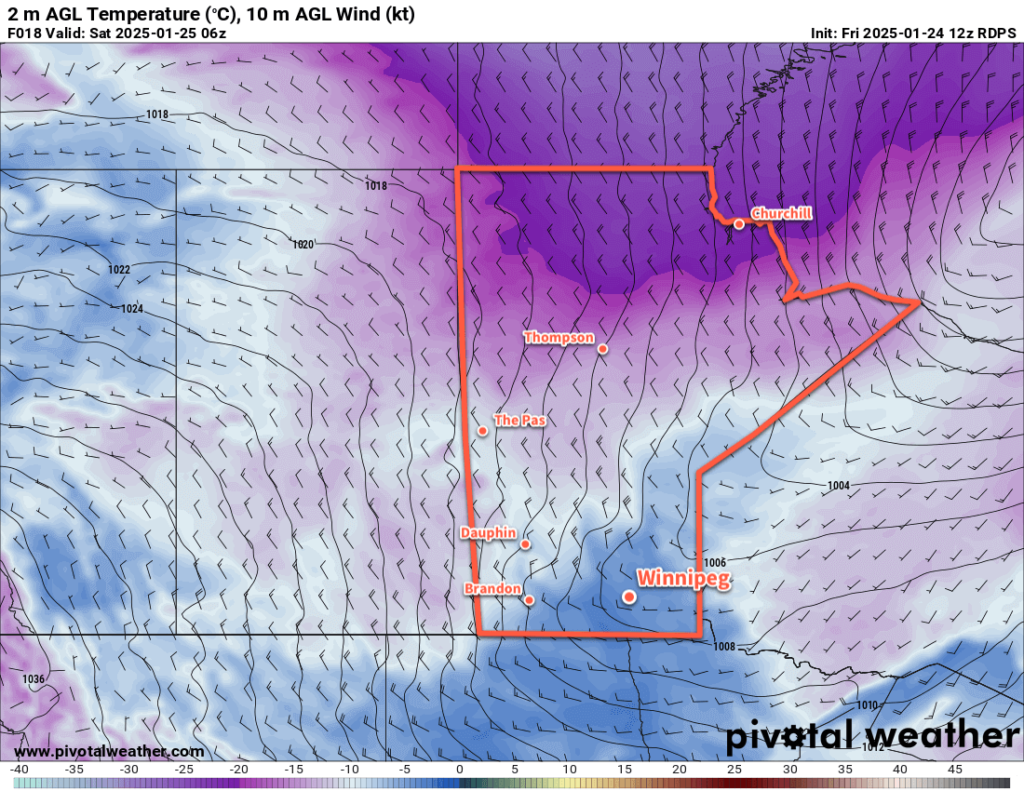
Today will bring mainly cloudy skies to the region with southerly winds picking up to around 20 km/h. Temperatures should climb above freezing for the afternoon. A few clear breaks are possible this evening as temperatures head to a low near -3 °C overnight.
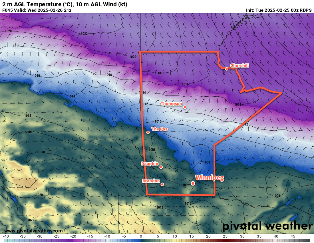
A disturbance will drop into southern Manitoba from the northwest through the day Wednesday. Under cloudy skies, temperatures will climb back above freezing, then temperatures will cool in the evening as light precipitation makes its way through the region. This could fall as either rain or snow, it will depend on how close to 0 °C the temperatures are by the time it begins.
The precipitation will change to flurries on Wednesday night and taper off early Thursday. Temperatures will dip to a low in the -10 to -5 °C range on Wednesday night.
Thursday will bring mixed to cloudy skies to the Winnipeg area with a high close to the freezing mark. A more organized disturbance will push a warm front into southern Manitoba on Thursday night, keeping temperatures within a few degrees of the freezing mark through the night. Breezy southerly winds will pick up overnight as the front approaches.
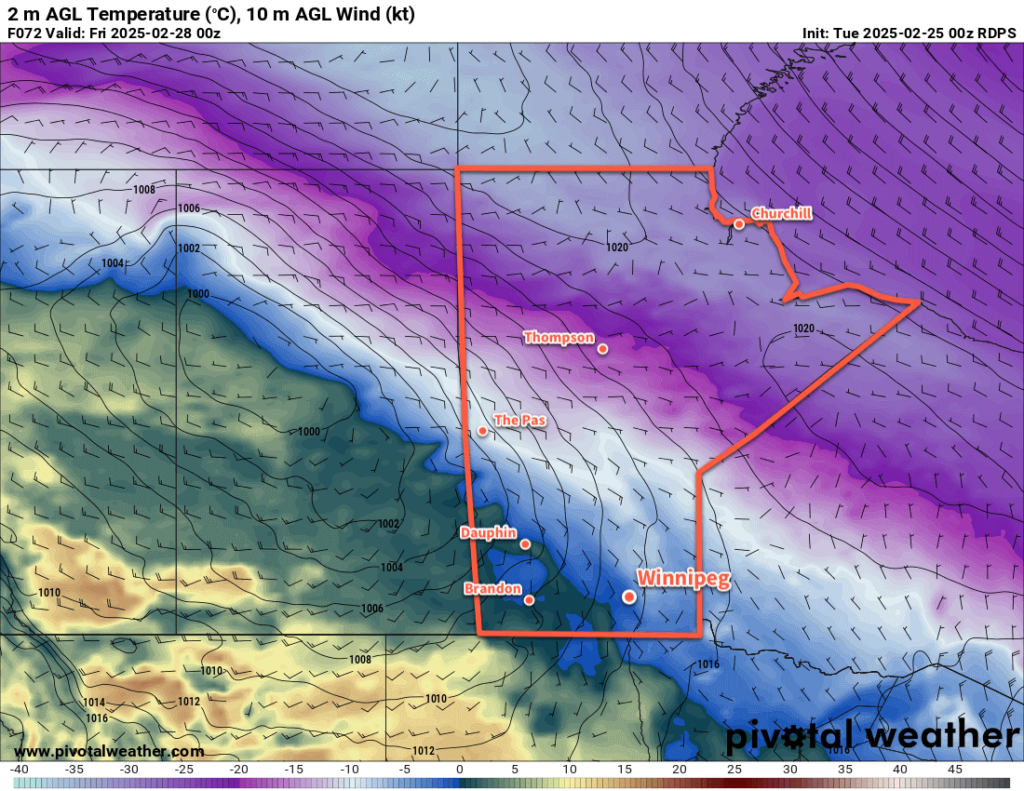
Friday will bring light rain or snow to the region, but much of the precipitation will likely fall north and east of Winnipeg. It could even end up being a drier day in Winnipeg depending on how dry the air being pulled into this system from the south ends up being.
Temperatures will reach a high near 0°C on Friday with westerly winds near 40 gusting 60 km/h. Those winds will shift northwest later in the day as much of the precipitation moves off. This will bring cooler temperatures and a chance of flurries to the region.
The northwest winds will ease overnight as skies clear and temperatures drop into the -20 to -15 °C range behind the departing system.
Long Range Outlook
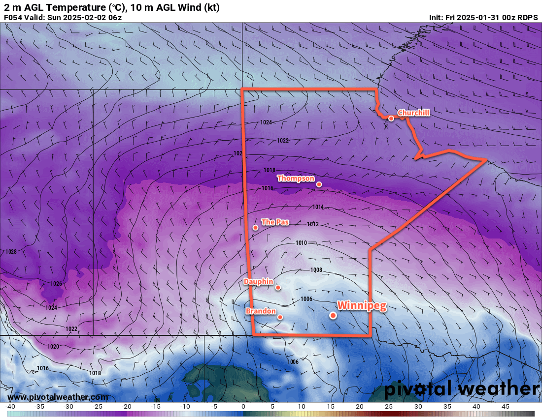
Looking further ahead, Saturday will bring cooler weather to the region, but temperatures should bounce back towards freezing on Sunday. The city should see sunshine this weekend, but conditions will trend cloudier into next week as the mild air sticks around.
Today’s seasonal daytime high in Winnipeg is -6 °C while the seasonal overnight low is -16 °C.