Hot, Humid Conditions Building Back

An upper ridge moving into the Prairies will gradually bring hot, humid weather back to southern Manitoba.

RDPS 2m Temperature Forecast valid 21Z Thursday July 10, 2025
Hot weather with sticky humidity will returni n full force by Thursday in the Red River Valley.

After a cooler end to the weekend, temperatures are on their way back up across southern Manitoba. An upper ridge will amplify as it pushes east across the Prairies over the coming days, bringing mixed to sunny skies and increasing heat.

After any remaining fog and/or stratus cloud burns off this morning, the region should see mainly sunny skies. Temperatures will climb to a seasonal high in the mid-20s with light winds. It will cool into the mid-teens tonight with clear skies.

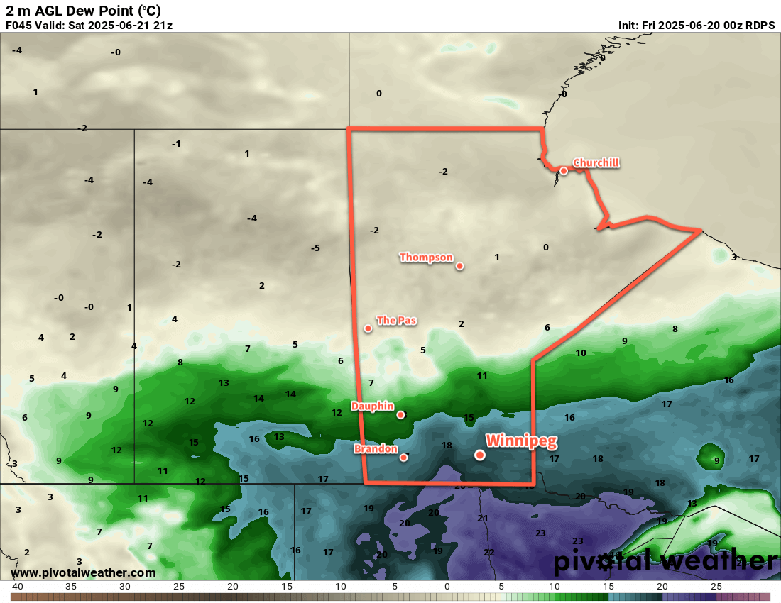
A warm front will push into the region on Wednesday, but skies will stay mainly sunny as it moves in. Daytime highs will push into the high 20s as southerly winds pick up into the 30–40 km/h range. The comfortable humidity levels of Tuesday will begin to give way to higher humidity on Wednesday. Temperatures will dip to a low near 20 °C on Wednesday night. Skies will be partly cloudy with an isolated thunderstorm or two possible with the warm front passage overnight.

On Thursday, hot and humid conditions will return with daytime highs in the low 30s with dew points back near 20 °C. These muggy conditions will make it feel like the upper 30s. A cold front and cloudier skies will move into the region late in the day. It will bring a risk of thunderstorms to the Red River Valley beginning late in the afternoon through the evening hours. Overnight lows should dip down into the upper teens on Thursday night as southerly winds ease and shift northerly.

As is the concern this summer, when the northerly winds move into the region, there will likely be plumes of wildfire smoke of varying intensity that move into southern Manitoba with them.

Long Range Outlook

On Friday, cloudier conditions will likely linger through the morning with a chance of showers. The sun should show up in the afternoon, but temperatures will be cooler in the low 20s with comfortable humidity levels and northwest winds.

The rest of the weekend should bring mixed skies and a return of seasonably mild temperatures with comfortable humidity levels.

Today’s seasonal daytime high in Winnipeg is 26 °C while the seasonal overnight low is 13 °C.

Hot, Humid Friday Followed by Cooler, Comfortable Weekend

Very hot and humid conditions will stay in place over southern Manitoba today, but a cold front will sweep through tonight bringing a chance of thunderstorms and drier, cooler conditions.

RDPS 2m Dew Point Temperature Forecast valid 21Z Friday July 4, 2025
Southern Manitoba will see very humid conditions on Friday with dew point values in the low 20s.

The hot and humid air mass that built into the region yesterday will stick around for another day today. Temperatures will climb to around 30 °C this afternoon while dew point values hover in the 20–23 °C range. The heat and humidity will combine to make it feel closer to 40 °C later today.

As is common with this weather, the region will see a risk of thunderstorms today. There may be a chance of showers or thunderstorms this morning, but that is dependent on how the activity that developed yesterday evening evolved through the night. After that, Winnipeg should see partly cloudy skies until the cold front approaches in the afternoon.

A chance of thunderstorms will redevelop this afternoon, and there will be a risk of severe thunderstorms. If any thunderstorms manage to reach severe criteria, the primary threats with them will likely be overland flooding from torrential rain and large hail. If there is plenty of morning activity, the risk for storms in Winnipeg in the afternoon will be lesser. If there’s little rain this morning, then the afternoon risk may increase.

The risk for thunderstorms will taper off in the evening as the cold front pushes southeast. Behind this front, humidity levels will decrease drastically with dew point values dropping to around 10 °C by Saturday morning. Temperatures will dip to the low to mid-teens by Saturday morning.

For the weekend, the weather pattern will be dominated by a broad area of high pressure that builds across the Prairies. It will bring cooler weather with daytime highs dropping into the low to mid-20s and overnight lows in the low teens. Unfortunately, we may have to deal with wildfire smoke at times as smoke from the numerous fires over the central Prairies is smeared through the region under the area of high pressure.

The region should see plenty of sunshine on Saturday, but may have to deal with more cloudiness on Sunday. A disturbance will be moving through North Dakota and may spread cloud north into southern Manitoba as it passes by.

Long Range Outlook

Looking ahead to next week, forecasts show the week starting with a low pressure system tracking into Manitoba on Monday. This system will likely bring widespread showers and/or thunderstorms to much of southern Manitoba as it passes through.

Conditions will settle for much of the rest of the week as an upper ridge builds over the Prairies. Temperatures will climb in response, heading back towards the low 30s later in the week, but fortunately the humidity doesn’t look like it will be as intense as with the current heat. The week may end with another chance of thunderstorms across the region.

Today’s seasonal daytime high in Winnipeg is 25 °C while the seasonal overnight low is 13 °C.

Warm and Unsettled Conditions for the Weekend

Warm and humid weather will bring a chance of showers or thunderstorms to the Winnipeg area this weekend.

RDPS 2m Dew Point Forecast valid 21Z Saturday June 21, 2025
A humid air mass will push into southern Manitoba by Saturday afternoon.

An upper ridge will continue to build over the eastern Prairies to end the week, bringing warmer temperatures and a shift into one of the first humid periods of the year. Dew point values will climb from the low and mid-teens into the upper teens or even the low 20s over the next 24 to 48 hours. This will shift conditions to be notably more humid than seen for any notable period this season.

This push of warmer and humid weather will turn unsettled as an upper trough begins to deepen over western North America. This will send multiple disturbances towards the region over the next few days, each bringing a chance of showers or thunderstorms with them as they track through.

There will be a chance of showers thunderstorms this evening, roughly from the northern Red River Valley northeast, along a warm front pushing north through the region.

This frontal boundary will lie draped across the region on Saturday and generate more showers and thunderstorms as potent low pressure system in Alberta begins to shift east. Much of this activity will develop west and north of the Red River Valley, likely leaving Winnipeg dry.

On Sunday, a well-organized low will track through the American Plains and draw the front over southern Manitoba to the southeast through the day. This system will produce widespread showers and thunderstorms across southern Manitoba through the day that gradually taper off on Sunday night.

Temperatures will climb into the upper 20s both today and tomorrow, with the humidity making it feel closer to the low to mid-30s once it pushes in. Overnight lows both nights should sit in the upper teens or low 20s. The cloud and showers on Sunday will keep highs cooler, likely in the low 20s. As the front sweeps southeast later Sunday, a cooler and drier air mass will move into the region. Temperatures will be much cooler on Sunday night, dropping into the low teens.

Lastly, the region could see smoke this weekend from the Nopiming Provincial Park wildfire and from a few other fires burning further into Ontario. Northeast winds developing tonight and through Saturday will draw smoke southwest from these fires, but where the plumes go will be sensitive to the exact wind directions. Best chance to see smoke right now will be east of Lake Winnipeg into the southern Interlake, but there is a chance that the plumes will reach the Winnipeg area. The chance will begin to decrease Saturday night into Sunday, then come to an end as winds swing around with the cold frontal passage later Sunday.

Long Range Outlook

After a cool Monday, temperatures will rebound to seasonal to slightly above-seasonal values through the rest of next week. The region should see variable cloudiness with a chance of isolated to scattered thunderstorm activity on several days.

A low pressure system tracking through the central Prairies may bring hot and humid conditions to the region again next weekend.

Today’s seasonal daytime high in Winnipeg is 24 °C while the seasonal overnight low is 11 °C.

High Pressure Brings Seasonal Summer Conditions

A series of high pressure systems tracking through Manitoba will bring dry weather with seasonal temperatures to the region over the next couple days.

RDPS 2m Temperature Forecast valid 21Z Saturday June 14, 2025
Benign high pressure over Manitoba will bring seasonal temperatures over the next couple days.

A weak upper-level ridge over the Prairies will keep persistent high pressure over Manitoba for a couple more days. Daytime highs today and tomorrow will sit in the mid-20s while overnight lows will likely dip into the low teens. Winds both days should sit out of the southeast in the 10 to 25 km/h range. Fortunately, these winds will help keep the air smoke-free. The days should bring plenty of sunshine with afternoon clouds possible.

On Sunday, a low pressure system will push into central Manitoba. Southwest winds will push temperatures into the upper 20s with dew points climbing into the mid-teens. It’s been dry much of this spring and while it won’t be “humid,” you’ll be much more likely to notice the humidity out there on Sunday afternoon. There will be a slight chance of showers or thunderstorms on Sunday evening. Temperatures will head down to a low in the 15 to 20 °C range on Sunday night with winds easing to light northerly.

Long Range Outlook

Monday will likely bring more unsettled weather as the influence of the departing low gradually wanes.

It looks warmer next week with daytime highs in the mid- to upper-20s through much of the week and overnight lows in the mid- to upper teens. With that, there will be more chances for showers or thunderstorms as a few systems move through in the course of the week.

The more active pattern could bode well for the fires over central Saskatchewan and Manitoba with accumulating rain possible across those areas.

Today’s seasonal daytime high in Winnipeg is 23 °C while the seasonal overnight low is 10 °C.