Major Trough Moves through US
A trough of low pressure moving across a large swath of continental United States this week has been the cause for severe flash flooding, much wind damage, and a few tornadoes including Canada’s first of the year.
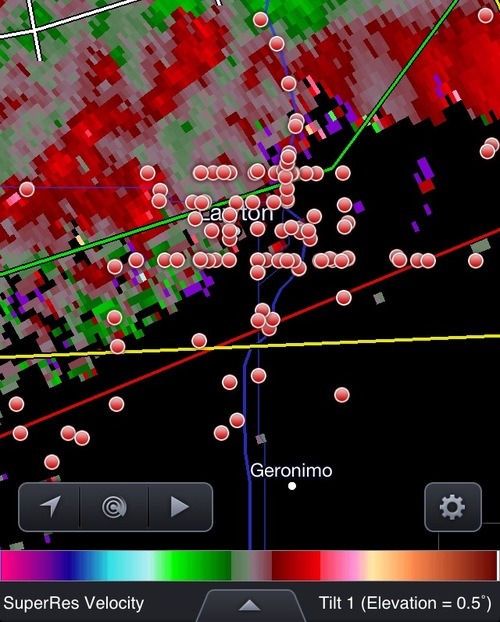
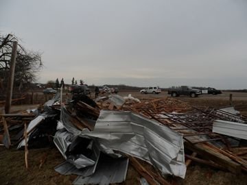
The first severe weather day occurred on Wednesday, April 17th, when a moderate risk was issued by the SPC for most of Oklahoma, parts of south-west Kansas and Missouri. Over 150 chasers (reporting) were scattered throughout Oklahoma, and at one time over 50 chasers could be seen on the same supercell! Severe thunderstorms fired along the warm front and further along the dryline that extended into Texas in early afternoon. The storms that had the largest tornado potential went up in south-western Oklahoma and moved towards the north-east. These storms along the warm front trailed each other and produced flash flooding in some localities. Also to note is that a few cities such as Lawton, OK who were lying along the warm front saw not one supercell that day, but three within four hours. One of these also dropped a tornado which caused some damage to an industrial area on the outskirts of the town.

On Thursday and Friday the trough continued its push eastward, but it became less of a tornado threat and more of a severe wind and hail event. At one time, thunderstorms stretching from Ontario all the way down to Texas could be seen. A few states such as Illinois, Iowa, Alabama, and Missouri saw extremely heavy rain in a short period of time which was cause for flash flooding concerns. Air rescues took place in Oxford, Alabama to save stranded motorists caught in their partly submerged cars. Canada’s first tornado of 2013 was also recorded on Thursday, rated as an EF 1 it touched down near Melanchton, Ontario.

The cooler weather is not expected to last this weekend as return flow sets up and southerly winds kick in for most of the Plains and Midwest. Later next week it appears as though yet another high pressure will slide down the Rockies, in turn bringing more unseasonably cold air to the Central United States.
