The arctic air mass that overtook southern Manitoba late last week isn’t going anywhere fast. Very cold conditions are expected to stick around for at least the rest of this week.
This Week
Very cold temperatures are expected again today as this frigid arctic air mass remains firmly over southern Manitoba. The benefit of this chilly air mass is that we’ll see a lot more sunshine this week than last, with mainly sunny skies expected today. Generally sunny skies are expected today, although there could be a few light flurries early in the day as a cold front passes through. Unfortunately, high temperatures will struggle to even reach the -20C mark as a renewed push of arctic air surges in behind that cold front. This frontal passage will change our weather pattern slightly, removing the surface ridge that had brought cold, but calm conditions over the weekend. That calm pattern will be replaced with a much windier one, which will make the wind chill a much more important consideration. Westerly winds at 30 km/h will develop today, meaning wind chill won’t rise much above -35, with values approaching -40 late tonight
Tuesday will see slightly warmer temperatures, with highs near -20C, although you probably won’t feel much difference. However, skies will remain mainly sunny, so at least we get that consolation for the very cold conditions. Winds will remain gusty from the west at 30 km/h gusting to 50 km/h, keeping wind chill values in the -32 to -34 range in the afternoon. Wind chill values will drop off a bit on Tuesday night, into the upper minus thirties.
Extreme cold will remain for Wednesday, but the sunshine should as well. High temperatures on Wednesday are expected to climb up near -23C in most areas, but winds will remain unpleasant at 40 km/h gusting to 60 km/h from the west. This will keep daytime wind chill values in the upper minus thirties, with values dropping into the minus forties overnight.
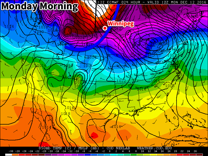
Long Range
Long range models keep us in this arctic air mass for at least the rest of this week. Some models have hinted at a surge of Pacific air pushing across the Prairies early next week, which would cause a dramatic rise in temperatures back near the freezing mark. However, it remains to be seen if such a Pacific flow will develop, and if it does, how long it might last. For now, you might want to assume that this arctic air mass is going to hang around for awhile, rather than pinning your hopes on the notoriously unreliable long-range forecast.