Once a cold front clears out of the region later today, Winnipeg and the Red River Valley will see relatively pleasant fall weather heading into the middle of the week.
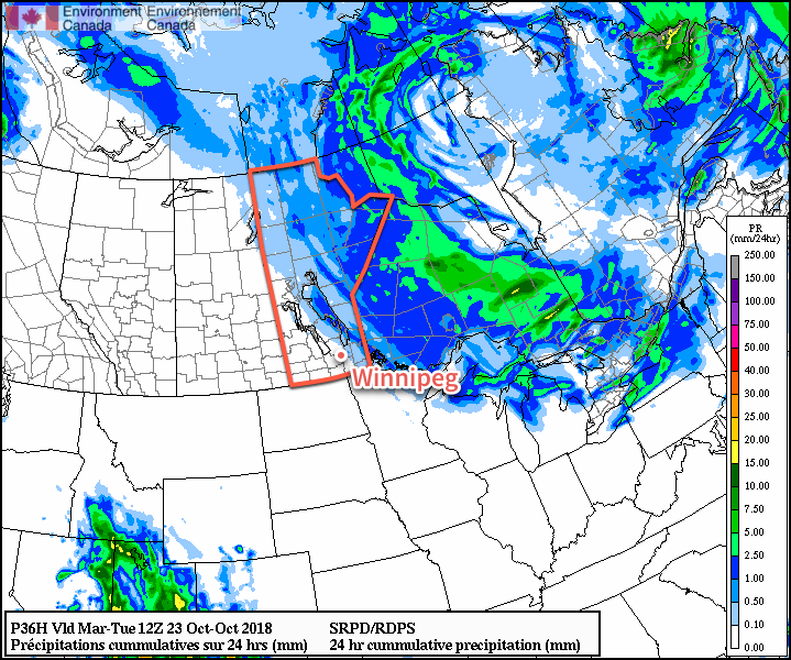
A weak cold front will slide across southern Manitoba this morning, ushering in slightly cooler temperatures to kick off the work week. In Winnipeg, winds will strengthen out of the northwest to around 30 gusting 50 km/h this morning. Daytime highs through the Red River Valley near 5°C will be about 5 to 10°C colder than seen yesterday in the region. A fair amount of cloud cover will move through the region today, but little precipitation is expected. Areas southeast of Lake Winnipeg will likely see some lake-effect showers or flurries today, and these may drift into the eastern Red River Valley this evening as the winds shift more northerly.
Much of the cloud cover will clear out overnight as a ridge of high pressure builds into western Manitoba. Some low cloud streaming off of the lakes will remain in the region, though.1 Those breezy northwesterly winds will diminish to light through the evening hours. In Winnipeg, temperatures will dip down to a low near -4°C.
Tuesday will see a large Arctic high slowly moving across the province. Any remaining cloud from the lakes will clear out early Tuesday morning leaving sunny skies for the rest of the day. Temperatures will again be cool with a high in Winnipeg near +4°C. Unlike Monday, winds won’t be an issue, remaining light across the region through the day. Skies will remain clear on Tuesday night with temperatures dipping down to a low near -5°C.
On Wednesday, a warmer air mass will begin to build back into the region. Southerly winds near 20 km/h will help temperatures climb to a high near 8°C in Winnipeg. Skies should remain sunny, making for another beautiful fall day. Cloud cover will build into the region on Wednesday night ahead of the next disturbance set to move through the region in the latter half of the week. Winnipeg should see a low temperature near +3°C.
Long Range Outlook
The latter half of the week will bring more cloud cover alongside several chances for showers as several slow-moving disturbances move through the eastern Prairies. Highs should remain near-seasonal in the upper single digits while the cloud cover keeps overnight lows warmer than seasonal.
Enjoy the sunshine over the next few days, it’ll be back to cloudier conditions before long!
Winnipeg’s seasonal daytime high is currently 8°C while the seasonal overnight low is -2°C.
- Lake Winnipeg will be producing stratus and lake–effect precipitation through Monday night, however it is less certain whether or not Lake Manitoba will follow suit. The ridge of high pressure building into western Manitoba will disrupt the wind regime over the lake, making organized cloud or precipitation less likely. ↩