Winnipeg will see a sunny and mild Monday, but cooler weather and unsettled conditions return for the rest of the week.
A weak upper ridge will bring sunny skies and mild temperatures to Winnipeg today. Temperatures will climb to a high near 23°C this afternoon with southerly winds strengthening into the 20 to 30 km/h range. An approaching trough will bring increasing cloud tonight and keep the southerly winds up around 20 km/h. Winnipeg’s temperature will dip to a low near 13°C.
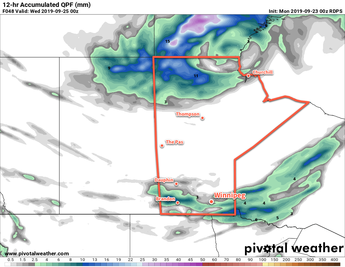
A digging upper-level trough will bring unsettled conditions to the region on Tuesday. With cloudy skies, showers will spread across the region from west to east through the day. More rain will certainly be a concern to waterlogged areas that saw 50 to 100 mm of rain last week; fortunately, this system doesn’t look too strong. Most areas will only see 4 to 8 mm through the day. Winnipeg may find itself on the northern edge of the rain; if so, the city could escape with just a couple mm.
Temperatures will be comparatively cool with a high near 16°C and light winds. Winds will gradually shift west-northwest through the night at 15 to 25 km/h. As they shift, the cooler air moving into the region will help generate lake-effect streamers. This will keep mixed to cloudy skies through the Red River Valley on Tuesday night with a continued chance of drizzle or showers. Temperatures in Winnipeg will dip to a low near 8°C.
Winnipeg will see mixed skies on Wednesday with northwest winds near 30 km/h. The chance for drizzle or showers will continue off the lakes, but become weaker and more isolated into the afternoon. Temperatures in the city will top out around 14°C. A ridge moving into the region will ease the winds on Wednesday night and send temperatures to a low near +3°C.
Long Range Outlook
Thursday will bring a short break from unsettled conditions as a ridge of high pressure moves through. Things quickly turn around for Friday, though, as another low pressure system moves across the southern Prairies. Another 5 to 15 mm look possible Friday afternoon through Saturday. Cooler weather will return for the end of the weekend with more lake-effect showers possible.
Today’s seasonal daytime high in Winnipeg is 16°C while the seasonal overnight low is 5°C.