Cloudy and seasonably mild conditions continue in Winnipeg this week.
Little change in the weather lies ahead for Winnipeg as the upper air pattern stays stagnant. Broad upper ridging is bringing seasonably mild conditions to the region, but has also trapped a huge area of low cloud over the eastern Prairies. As a result, the weather will be surprisingly consistent over the coming days.
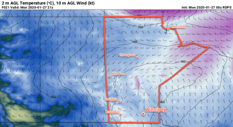
Winnipeg will see daytime highs in the -6 to -8°C range over the next few days with overnight lows dipping down into the minus teens. Winds will stay light through the next several days. With all the cloud stuck in the region, some flurries will be possible, particularly in the evening and overnight hours when the temperatures dip a bit.
Long Range Outlook
More of the same is on tap for Thursday, but by Friday the pattern begins to change and the region will transition into a more unsettled pattern. The region will still be dealing with plenty of cloud, but a bit of sun will be possible heading into the weekend. With several disturbances expected to track through the region Friday through Tuesday, there’s also a good chance of seeing some accumulating snow. Right now, the best chances for snow look to be Thursday night, Friday night, and Sunday night into Monday.
Cooler weather is forecast to push back into the region next week.
Today’s seasonal daytime high in Winnipeg is -12°C while the seasonal overnight low is -23°C.