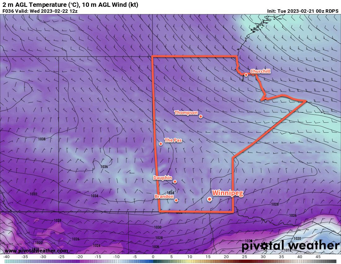
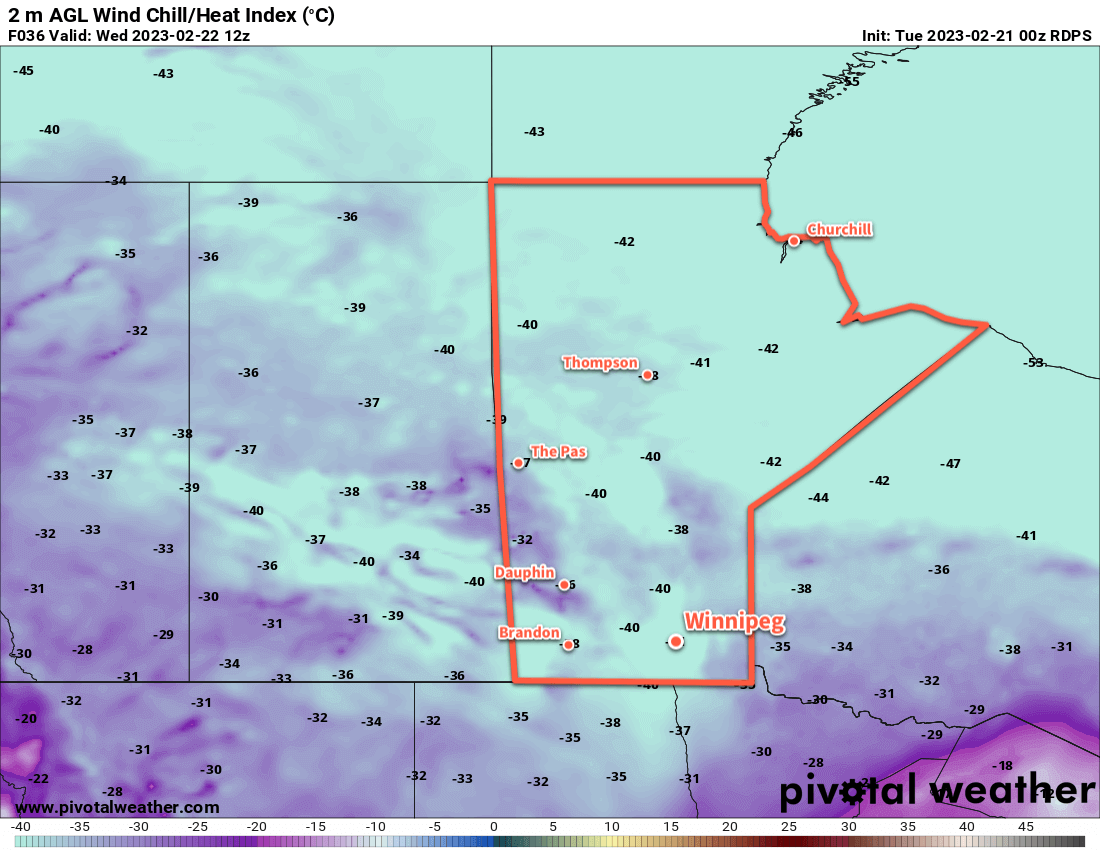
The Polar Vortex has dropped southwards out of the High Arctic, once again bringing a surge of bitterly cold temperatures to the Canadian Prairies.
The Polar Vortex has dropped southwards out of the High Arctic, once again bringing a surge of bitterly cold temperatures to the Canadian Prairies.


Temperatures will plummet well below seasonal values in Winnipeg this week as cold air from the Polar Vortex spills into the region. Daytime highs will sit several degrees below the seasonal overnight lows through the rest of the work week. A high near -20 °C today will fall into the mid-minus 20s on Wednesday, then gradually recover back towards -20 °C again through Thursday and Friday.
This cold air will be represented at the surface by a potent Arctic High that extends from Yukon Territory southeastwards into the Prairies before turning east through NW Ontario. This feature will also send overnight lows tanking, dipping into the -25 to -30 °C range most nights, with a chance for a couple lows below -30.
The bitterly cold temperatures combined with light winds will likely result in extreme cold warnings at times over the coming days.
That cold will bring plenty of sunshine to the region. The one exception will be on Thursday when a passing low in the United States spreads some cloud across the region. The cold air over southern Manitoba should keep any snow south of the border, though. The sun will return on Friday.
Long Range Outlook
Fortunately, the batter cold won’t likely stick around for very long. By the weekend, a series of potent low pressure systems moving through the Atlantic will help dislodge the Polar Vortex and pull it eastwards. This will allow a more westerly flow to develop over the Prairies and bring warmer weather back to the region.
This will bring mixed skies to the region as temperatures gradually warm with near-seasonal temperatures back in the region by Sunday.
Next week will bring variable cloudiness to the city with a couple chances of some light snow and mild temperatures.
Today’s seasonal daytime high in Winnipeg is -7 °C while the seasonal overnight low is -17 °C.
