There will be plenty of sunshine in Winnipeg this week as temperatures climb into the low 30s by week’s end. Unfortunately, this will worsen fire conditions across the region.
A rebounding upper ridge will bring sunny skies and warmer weather to the eastern Prairies through the rest of the week. Unfortunately, this means that there won’t be any notable chance for any significant amounts of rain. This will mean, broadly, that fire conditions will likely worsen through the week as relative humidities remain low.
Daytime highs will climb from the upper 20s into the low 30s through the rest of the week with afternoon relative humidies dropping into the 20–30% range. With a much warmer air mass moving into the region, that chill that we’ve seen a lot of nights will dissipate. Overnight lows will warm into the mid- to upper teens through the week.
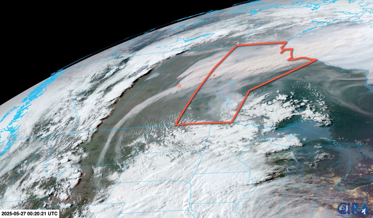
Winds be light the next several days, gradually shifting from the south-southwest to westerly over the next few days. This should, fortunately, keep much of the smoke out of the Red River Valley and Winnipeg areas in the days ahead.
A few scattered showers or thundershowers may be possible in the days ahead, but they’ll likely develop south of Winnipeg if they occur and will be limited in intensity and scope.
Long Range Outlook
The hot weather will continue into the weekend with no rain in sight. Winds may shift northwesterly on Saturday, which could bring smoke from the wildfires over the central Prairies into the region.
Some relief from the dry conditions looks to be possible next week. The upper ridge begins to break down and several disturbances are forecast to track through the region through the week. Each one looks to bring a chance of widespread showers and/or thunderstorms to the region, which could supply several rounds of much-needed moisture.
Today’s seasonal daytime high in Winnipeg is 22 °C while the seasonal overnight low is 8 °C.