CBC reports on ECCC’s upcoming closure of the Kelowna upper-air station:
ECCC is shutting down the Upper Air station at the end of June because, with the parking lot expansion, it will no longer be safe for technicians to launch weather balloons from outside the station.
A spokesperson says the agency knew in October 2015 that UBC Okanagan was planning to expand its parking lot but it only found out a week ago the project was going ahead.
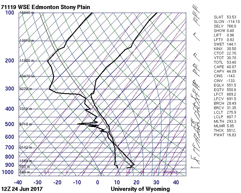
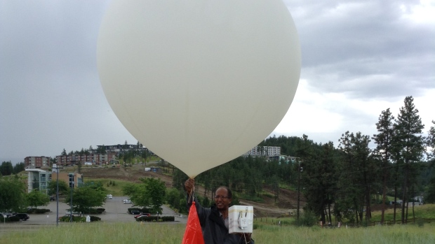
Upper-air stations, of which there are 31 across Canada, are locations where a compact set of instrumentation is attached to a large balloon and launched into the atmosphere. The instrumentation measures temperature, dew point1, wind direction and speed, and pressure. These measurements are combined to create a graph called a sounding and gives weather forecasters an understanding of how the atmosphere changes in the vertical.
These measurements are also crucial in supplying accurate data for weather models to ingest and use for their forecast production.
The loss of the Kelowna sounding site will have a direct impact on the ability to forecast weather in the region, as well as likely contributing to a small degradation in the quality of weather models.
There is a quote in the CBC article that should be pointed out as wrong:
The data collected at the Kelowna Upper Air Station is not essential for local weather forecasting, according to ECCC, but the station is an important source of information for weather models.
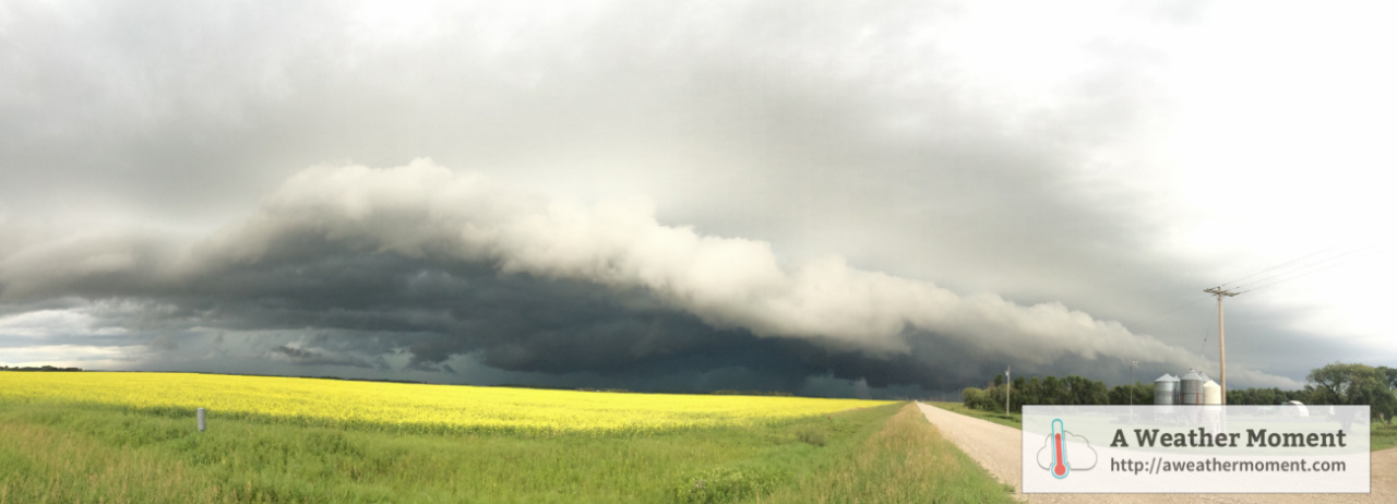
In the world of weather forecasting, real data is the single most valuable resource. Forecasters have more weather models spitting out forecasts than they can reasonably assess2 but models can only be so accurate. Real data, while significantly less in quantity, is the real deal and crucial for many forms of weather forecasting. The soundings generated from these upper air sites are actively used by meteorologists to help them forecast weather such as: thunderstorms and thunderstorm severity, freezing rain, snowfall intensity, blizzards3, and drizzle/freezing drizzle.
Here at A Weather Moment, we’ll use whatever real soundings we determine could be representative of what the weather here will be like4 before resorting to using model-generated soundings. They are a very important piece in the puzzle of weather forecasting.
Lastly, I think one of the questions that needs to be raised is what value ECCC assigns to upper air data. The CBC article states that they’ve known of the plans for 2 years already, but in the meantime have developed no plan for what to do about it. It seems like that would be ample time to create a plan for relocation in case it was needed, but the article paints a picture that shows an unprepared organization that has to close the site while they figure out what to do. The situation as presented seems to suggest that ECCC has devalued upper air data, which would be of deep concern to me.
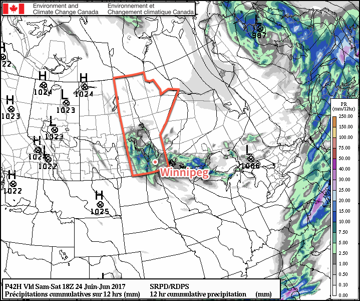
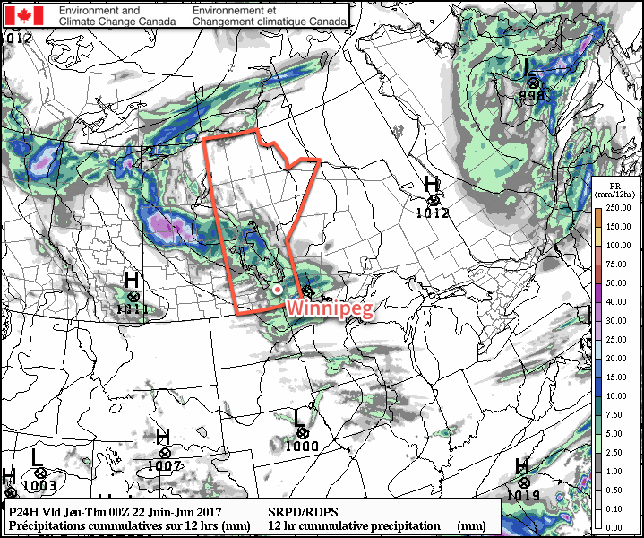
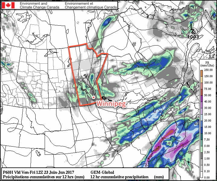
Over the past winter, I decided to keep an eye on how well the models handled the forecast of major storm systems at two points:
- Before they make landfall and are contained entirely in the Pacific with no upper-air stations able to launch balloons to sample them.
- Once they make landfall and are sampled by upper air sites.
I was interested in the results as the general trend in the modelling community has been to rely more and more on remote sensing; data that is generated not by being directly measured, but derived by running direct measurements through mathematical equations to calculate them. This is used often with satellite data. The idea is attractive: we have satellites that are looking at everywhere, so we could get these values everywhere instead of just where we have upper air stations. It seems perfect.
Unfortunately, the reality is that for many of the elements important for weather forecasting, the accuracy of remote sensing is simply not good enough yet. In The academic community, there has been a search for a replacement for sending up balloons for several years now that has led them through technologies such as LIDARS and WV-DIAL, but the accuracy has yet to reach a point where they can be relied on as replacements.
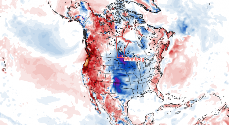
In my qualitative assessment of model performance over the winter, I found that before these storm systems reached land, model forecasts were highly variable and there tended to be little agreement between different models. Once they reached the west coast, however, and began being sampled by actual upper air stations, the models quickly trended towards similar solutions, with greater consistency in the forecast from run to run. Given the wide variety of storms that I kept track of through the winter that spanned a wide range of intensities and speeds, I don’t think that the improvement in forecast skill is simply a correlation. I’m willing to say that upper air stations make forecasts better, both those generated by weather models and those improved on by meteorologists.
But it doesn’t end there. Also mentioned on Saturday via Twitter:
We've also lost Iqaluit UA (YFB) for the summer
— Rob's Obs (@robsobs) June 24, 2017
I can only hope that the short-term closure at Iqaluit is not a further indication on a devaluation of upper air data. The quality of remotely-sensed data will continue to gradually improve, but it still can’t match the quality provided by balloon launches at upper air stations. If Canada is serious about improving the quality of the weather forecasts it offers Canadians, it needs to be serious about improving the density of its upper air stations across the country.
- The dew point is a measure of how much water the air contains. ↩
- Off the top of my head: RDPS, GDPS, REPS, GEPS, NAM, 3km NAM, RAP, HRRR, HRRRX, GFS, ECMWF, CFS, ECMWF… ↩
- Both of the heavy snow and wind variety as well as the more common “clear sky” blizzards produced by strong winds in much of the eastern Arctic and portions of the eastern Prairies. Clear sky blizzards are fairly common in the Red River Valley. ↩
- The closest upper air stations to Winnipeg are in International Falls (MN), Bismarck (ND), and The Pas (MB). ↩