Seasonal Weather Ahead; Unsettled Pattern Developing

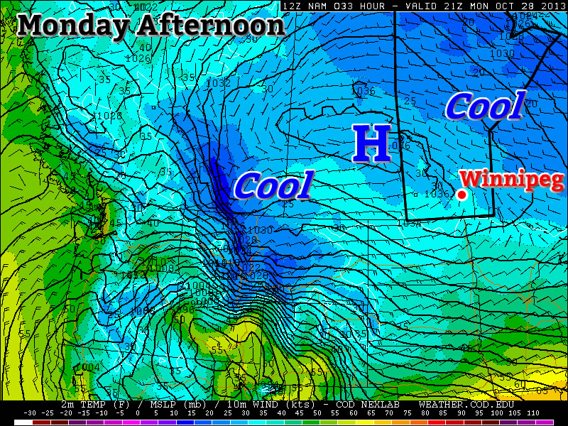
We’ll see a reprieve from the cold snap across Southern Manitoba over the next few days as temperatures return to more seasonal values, however with that comes the development of a more unsettled pattern that will bring multiple chances for rain or snow to the region over the next week.

Wednesday

6°C / -1°C
Warming up with a few clouds.
Thursday

7°C / -1°C
Mostly cloudy.
Friday

6°C / -2°C
Light snow changing to rain likely.

We’ll see a comparatively beautiful day today with temperatures climbing up to around 6°C under a mix of sun and cloud. The warmer temperatures are thanks to a breakdown of the high-amplitude jet stream that has been in place over North America over the past week and a bit. As the pattern flattens out, it will allow warmer air to push back into Southern Manitoba, which in turn allows us to enjoy non-freezing temperatures. The milder temperatures will stay with us through the remainder of the week.

Thursday (Halloween!) will bring cloudier weather as a weak front aloft begins moving into the area. Temperatures will climb up to around 7°C by the afternoon, making it the warmest day we’ll see this week. Cloudy skies will persist through the night as we drop to around –1°C. Things look to stay nice and dry for the trick or treaters!

Precipitation accumulation expected through the day on Friday, courtesy the NAM.

Friday has a good chance of bringing us some light snow or rain. There’s good agreement that a disturbance will slide down from the northwest on Thursday night, pushing into the Red River Valley through the morning hours on Friday. Precipitation may begin as light snow, but should switch over to rain by midday at the latest. No significant amounts are expected; models are only producing a 2–5 mm water-equivalent of precipitation, so it will be relatively light activity. The precipitation looks to move in fairly early in the morning and will last through much of the day before tapering off around supper time or shortly thereafter. We’ll see a high of around 4 or 5°C and an overnight low of around –2°C.

The Weekend Ahead

Cloudy skies will persist through much of the weekend as a more unsettled pattern develops. Daytime highs look to stick around the low single-digits and overnight lows dropping to a couple degrees below zero. The next chance for precipitation looks to push in on Sunday night through Monday as a system pushes through the region bringing snow to the Interlake and possibly areas further south as well. More on that later in the week.

Chilly Week Ahead

This week will be a cool one, though we should avoid really frightening weather.

Predicted temperatures on Monday Afternoon

Monday and Tuesday

Monday

Mix of Sun and Cloud
0°C / -5°C
Tuesday

Mainly Sunny
2°C / -6°C

The weather today and tomorrow will be fairly similar. A surface ridge of high pressure will bring light winds and cool temperatures to Southern Manitoba. High temperatures will be in the low single digits and lows will be below zero. No notable precipitation is expected.

Wednesday

Wednesday

Mainly Sunny
5°C / -8°C

Wednesday will see little change from Tuesday. Temperatures will once again be in the single digits, but it will be a bit windier than Monday and Tuesday. Again, no notable precipitation is expected.

Late Week

The late week weather will continue to be on the cool side. Temperatures will remain in the single digits and no significant precipitation is expected.

One Warm Day

A large low pressure system pushing across Northern Manitoba will drag a warmer air mass over the Red River Valley today bringing near-normal temperatures back to the region. The reprieve from cooler temperatures will be short-lived as a reinforcing blast of cold air will quickly push into the region in the wake of this system.

Highs across Southern Manitoba will push into the high single digits before colder air pushes in again tonight. Image is afternoon temperatures; blue is ≤ 0°C while the brighter yellow colour is ~ 10°C.

Warm weather will wash across the Red River Valley today as mainly sunny skies combined with warming temperatures aloft and a (somewhat breezy) south-westerly wind push the temperature up up up to…a seasonal 8°C. Yes, it’s a sad state of affairs when a potent low pressure system dragging a huge amount of warm air across the Prairies brings us to just seasonal temperatures. That being said, it will be a pleasant break from the cloudy, cool weather we’ve had over the past while.

The reprieve will be short-lived, though, as a cold front slices southwards this afternoon. It will push through the Red River Valley late in the afternoon bringing strong northwesterly winds and a chance of some scattered showers behind the front. This will mark the return of cooler weather back to the region. We’ll head to a low of around 0°C and areas in the lee of the lakes will see a continued chance of showers or flurries through the night as weak lake-effect precipitation is generated thanks to cooler air continuing to push in through the night.

Friday

8°C / 0°C
Mainly sunny with some afternoon cloud. Slight chance of late afternoon showers.
Saturday

4°C / -2°C
A mix of sun and cloud.
Sunday

3°C / -7°C
Mainly cloudy; snow or rain possible.

Saturday will bring a mix of sun and cloud here, with the morning on the sunnier side and the afternoon moving towards the cloudier side, in Winnipeg with chances of showers or flurries continuing in the lee of Lake Manitoba and the lee of Lake Winnipeg. There’s a very (very) slight chance of an isolated shower in the afternoon here in Winnipeg, but it won’t likely even be worth all the words I’ve already spent on it.

Saturday night will be partly cloudy with a low of around –2°C.

Sunday will be a mainly cloudy day as an upper trough slumps across the province. There may be a few sunny breaks, but for the most part things will be cloudy. There looks to be a chance at seeing some snow or rain, especially through the morning, but there’s still a fair amount of disagreement as to the amount of precipitation that will fall over the Red River Valley. At this point it looks about 50/50, although given the expected dynamics over the Western Prairies, I’d say that it’s more likely that we won’t see anything. The possibility is certainly there, though, and we’ll keep an eye on it as the day nears.

Stuck In A Cool Pattern

A high-ampltude jet stream is bringing unseasonable weather to much of Canada.

A high amplitude jet stream is bringing unseasonable weather to much of Canada.

Temperatures will remain fairly cool through the next few days as Southern Manitoba remains entrenched in a pattern that has the jet stream diving through Saskatchewan well to our south, trapping cooler air over the area. In addition, snow will enter the picture as snow squalls batter areas in the lee of the lakes – in particular Lake Winnipeg – and a weak disturbance slides down from the North and brings flurry activity to many regions tonight.

Today

Wednesday

3°C
Mainly cloudy. Chance of flurries in the afternoon.

Through much of the Red River Valley today we’ll see mainly cloudy skies – perhaps with a sunny break or two – with the weather pattern being dominated by snow squalls coming off the lakes. While some squall activity is expected off of Lake Manitoba, with a band of snow extending SSE from the lake positioned between Portage la Prairie and Elie. More vigorous activity is expected off of Lake Winnipeg, where cooler air aloft will combine with favourable winds which will bring air not just over the South Basin, but over the North Basin as well. The cooler air aloft coupled with the air being over water for longer will combine to produce vigorous convection that will push SSE off the lake into areas around Beausejour and east.

The snow has the potential to be very heavy, producing near-whiteout conditions and rapid snowfall accumulation. Fortunately it will be confined to a fairly narrow corridor in the lee of the lake, but if you are expecting to travel east towards the Whiteshell today, you should be prepared for potentially encountering treacherous winter driving conditions.

Wednesday Night

-2°C
Light snow beginning in the evening.

Embedded above these local features will be a weak frontal wave sliding southwards along the baroclinic zone that is dividing the Prairies. This weak wave will bring light snow activity to the Interlake through the daytime today, pushing southwards and entering the northern Red River Valley by late in the afternoon or early evening hours. This light snow will push all the way south to the US border through the evening and persist through much of the night. No significant accumulation is expected from this system, although if it ends up intense enough then its possible some areas may awake to a cm or two on Thursday morning.

High temperatures will be around 2–3°C today throughout the Red River Valley while the ample cloud cover and light snow will limit our overnight lows to just around –2°C.

Thursday & Friday

Thursday

4°C / -4°C
A mix of sun and cloud; chance of flurries in the morning.
Friday

7°C / 0°C
Sunny becoming a mix of sun and clouds. Chance of showers.

Thursday will bring a mix of sun and cloud as the cloud from the overnight snow clears out but ample low cloud continues to flow off the lakes. There will be a chance of flurries in the morning as the overnight disturbance leaves the province, but little is expected otherwise. Some light snow may fall out of any clouds that wander through Winnipeg in the afternoon, but it would likely be exceptionally light if that were to happen.

Overall it will be a relatively nice, albeit cool, day. We’ll drop down to around –4°C under partly cloudy skies on Thursday night.

Friday will start with relatively clear skies but we’ll see things become more mixed as the day progresses. A significant low pressure system will be pushing through Northern Manitoba into NW Ontario dragging warm air with it across the Prairies; we’ll see southwesterly winds of 20–30km/h bring warmer air into the region as we head to a seasonal high of 7°C. There will be a chance of showers here in Winnipeg, although we look to be on the periphery of the system with the bulk of the precipitation falling through the Interlake into Southeast Manitoba. Friday night will bring partly cloudy skies and a low of about 0°C.