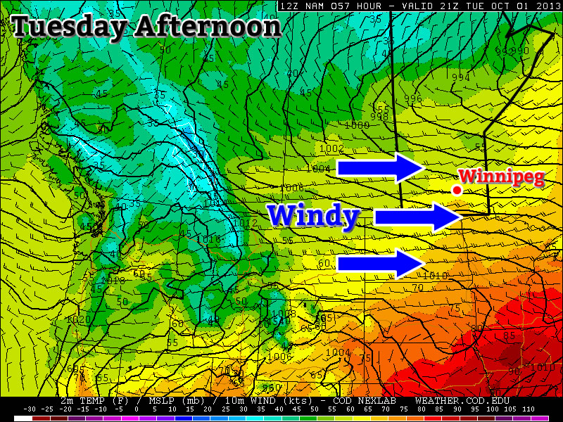
Sunny Week Ahead; Potentially Stormy End To The Weekend

The remainder of this week will be filled with sun as yet another Arctic ridge dominates over the Eastern Prairies, continuing the unshakable grasp of winter. While temperatures will be milder compared to the first half of the week, we’ll reamain well below our normal of around +9°C but with the milder temperatures the sun should be able to continue slowly melting the snow we have. Unfortunately, it’s looking like a fairly significant storm may bring another shot of winter.

This Week

Wednesday

0°C / -14°C
Sunny
Thursday

2°C / -10°C
Sunny
Friday

4°C / -8°C
Mainly sunny; increasing cloudiness in the evening.

A significant Arctic high pressure system will lay dominant over the Eastern Prairies over the next few days with the main ridge axis running from near Churchill towards southwestern Manitoba. We’ll see temperatures slowly climb over the next few days, but our daytime highs will likely remain in the 0-4°C range, although any areas in the city that have managed to become mostly snow-free may get a little warmer than that. Regions outside the City of Winnipeg will likely top out within that range. Perhaps most significantly will be the warming of our overnight lows, which will be in the low minus teens this mronign and move into the minus single digits by the end of the week.

We’ll have plenty of sunshine over the next few days with some clouds starting to work their way into the Red River Valley on Friday night associated with a weakening system pushing through Saskatchewan.

The Weekend

GDPS 24 Hour Precipiation Accumulation valid Monday morning.

24hr. precipitation accumulation valid Monday morning from the GDPS. Current forecast shows the potential for up to 25mm of liquid equivalent precipitaiton.

Saturday looks to be a mix of sun and cloud, but Sunday will be quite an interesting day weather-wise as a Wyoming low pushes northeastwards into southern North Dakota through the day. While the morning looks to start off cloudy, the GDPS1 deepens the low significantly through the afternoon, spreading precipitation northwards into Southern Manitoba. There’s still plenty of time and uncertainty, but this system (at the moment) looks like it could end up producing as much as 15cm of snow. How much actually accumulates will vary highly, since temperatures are expected to be right near 0°C and non-snow-covered surfaces will likely melt much of the snow on contact for the first several hours of the event. There’s also the possibility enough warm air will wrap north of the system that some of the precipitation will fall as rain instead of snow. This system would impact us through Monday as well given the current model output. We’ll keep our eyes on the development of this system; stay tuned.


  1. Global Deterministic Prediction System 

Cool and Calm

Monday through Wednesday

This week will start out cool and calm weather-wise. No significant precipitation or warm weather is expected.

Monday
image
Clearing
-6°C / -21°C
Tuesday
image
Mainly sunny
-1°C / -10°C
Wednesday
image
Mainly sunny
-1°C / -10°C

Monday will be another ugly April day. Temperatures will be in the mid minus single digits with clearing skies. There will be a strong north wind as well, making it feel even worse than the temperature alone would indicate.

Tuesday and Wednesday will be very similar days. High temperatures will be just below zero in both cases, with the exception of urban and forested regions which will be a few degrees warmer than everyone else. The wind will also be from the north on both Tuesday and Wednesday, but it won’t be very noticeable except in open areas.

Long Range

The long range is looking slightly better than it has been for the last while. It looks like we may finally be moving into a pattern with more consistent melting temperatures by week’s end. It’s too early to say how warm it will get, but it looks like temperatures will still generally remain mainly below normal in the medium-term. The normal high for this time of year is +8C.

More Snow on the Way

sigh

image

850mb wind forecast showing the deep southerly flow that will be providing the moisture and lift for today’s system.

Today

image
0°C / -2°C
Snow beginning this afternoon. 2-4cm overnight.

A frontal wave sliding across the Prairies will push into Southern Manitoba this morning, spreading snow eastwards across the Red River Valley this afternoon. While southwestern Manitoba will see 5–10cm of the white stuff, we should fare a little better here in the RRV with 5cm expected near the US border tapering off to 2–4cm here in Winnipeg. The bulk of the snow will fall this evening into the overnight period before tapering off late overnight or early tomorrow morning.

Saturday & Sunday

Saturday
image
1°C / -11°C
Cloudy with a chance of flurries. Clearing late in the day.
Sunday
image
-4°C / -14°C
Increasing cloud. Light snow beginning in the afternoon.

Saturday will be a bit of a mixed bag with some lingering flurries in the morning and gradual clearing in the afternoon before skies clear late in the afternoon or evening. The high temperature on Saturday should be around 1°C and we’ll see temperatures drop to –11 or –12°C Saturday night.

More snow looks to be on the way for Sunday afternoon as an Alberta Clipper slides along the international border. At this point, it doesn’t look like a significant system, but it should pack enough of a punch that it will likely drop a couple cm through the RRV in the afternoon. After Sunday, it looks like we’ll slip back into another benign pattern with below-normal temperatures as a surface ridge keeps snowier weather to our west and to our south.

Warmest Day of Spring So Far Will Also Be Most Unpleasant

It’s almost a certainty that Winnipeg will record the warmest day so far this spring at it’s official reporting station at the airport, but it will without question be perhaps one of the most unpleasant feeling days of the past couple weeks as a low pressure system moves through.

3hr. QPF valid this afternoon.

RDPS output showing a weak band of flurries pushing across the RRV this afternoon.

Today


3°C / -9°C
Cloudy & windy. Chance of flurries midday onwards.

A low pressure system will be tracking through Southern Manitoba today, bringing with it a mass of very warm air. Temperatures at the surface will climb to around +3°C today despite our 850mb temperatures climbing nearly 20°C from yesterday’s values. Thanks to the significant push of warm air aloft moving into the Red River Valley, our winds will be blowing quite strong today out of the south. The winds should sit around 40km/h with gusts to 60km/h through much of the morning, although it’s possible that winds will strengthen beyond that with gusts as high as 70–75km/h.

In addition to the above-zero temperatures, our dewpoint is expected to climb above zero as well. The above-zero temperatures combined with above-zero dewpoints will prove to be one of the more effective melting days we’ve seen so far this year despite the absence of sun with substantial warming of the entire snowpack possible. We may see some flurries as the cold front pushes through in the afternoon, but current indications are that the air coming in is a little to dry to produce much precipitation. Before the cold front comes through, the thermodynamic profile looks relatively favourable for drizzle, but I think that the strong winds will prevent its development. All in all, despite the warmer temperatures, today will end up a cloudy, damp, windy chilly-feeling day.

Once the cold front pushes through mid-afternoon, we’ll see winds lighten and slowly shift to westerlies while gradual clearing occurs. Temperatures will drop to around –9°C tonight under clear skies.

Thursday & Friday

Thursday

-2°C / -14°C
Mainly sunny.
Friday

0°C / -8°C
Mainly sunny. Increasing cloud overnight with chance of flurries.

We’ll return to a benign pattern for the rest of the week as another Arctic ridge builds into the Prairies. We’ll see plenty of sunny skies and highs near or just under 0°C while overnight lows sit around –14°C on Thursday night and warm to just –8°C on Friday night as clouds begin to move in ahead of the next low pressure system. Winds will remain light through Thursday and Friday.

The Weekend

Models are having difficulty resolving exactly what is going to happen with the next system headed our way for late overnight Friday into Saturday. American models are keeping it well to our south, the Canadian models are clipping it through SW Manitoba and the far SW portions of the Red River Valley, while the European models are bringing it through the Trans-Canada corridor, including Winnipeg. While the European models tend to have higher skill than the North American models at long-range (primarily thanks to their relentless efforts to initialize the models as well as they possibly can), the solution doesn’t necessarily make a whole lot of sense to me.

We’ll be watching this system develop over the next few days, and while it seems likely that some snow will fall this weekend over SW Manitoba, it’s still too early to call for Winnipeg or the RRV; we may see nothing or another 5–10cm of the white stuff. At this point, regardless of where it goes, it doesn’t look like a major system that will drop too much water (ensemble solutions are pointing towards 5–10mm of liquid equivalent with this system).

Long-Range

This cool weather of late has many people asking when spring will arrive. Our snowpack is abnormally deep for this time of year, March started off warm but just got colder and colder as time went on, and we have yet to even start the widespread snowpack melt. All this is certainly compounded by memories of last March’s weather, where we had the warmest March on record at 2.2°C, 0.6°C above the previous record.[1] Fortunately, there is some hope on the horizon.

AO Graph

AO values over the past few months. A quick flip from negative to positive values is expected, denoted by the forecast red line.

The Arctic Oscillation (AO), a large-scale weather pattern that can impact the distribution of cold air through the Northern Hemisphere, has been locked below zero for quite some time now. When the AO value is negative, it usually results in a stationary pool of cold air over central continental North America, as we’ve seen over the past few weeks. This has brought below-normal temperatures to many locations across the Prairies and northern United States. The good news is that, as seen above, the AO values are expected to sharply shift into the positive over the next two weeks, which should allow the jet stream to start pushing northwards and bring warmer weather to our region. So while the cooler weather will likely be here for the next 7–10 days at least, a significant change in the weather pattern looks like it’s on it’s way in the near future.


  1. Check out the mentioned link for a list of the 9 significant records we broke in March 2012.  ↩