Summer Warmth Arrives in Winnipeg This Week

After a bit of an unsettled Tuesday, sunnier skies develop over southern Manitoba with high temperatures climbing into the mid-20s!

RDPS 2m Temperature Forecast valid 21Z Thursday May 11, 2023
Temperatures will climb into the mid-20s across southern Manitoba on Thursday.

Warmer weather will arrive in Winnipeg today with daytime highs climbing back to around 20 °C. A weakening upper trough over the region will provide instability for mixed skies with some scattered afternoon showers. The odd shower might end up strong enough for a couple lightning strikes, but no notable organized thunderstorm activity is likely. A few clouds will linger overnight with temperatures heading down into the low teens.

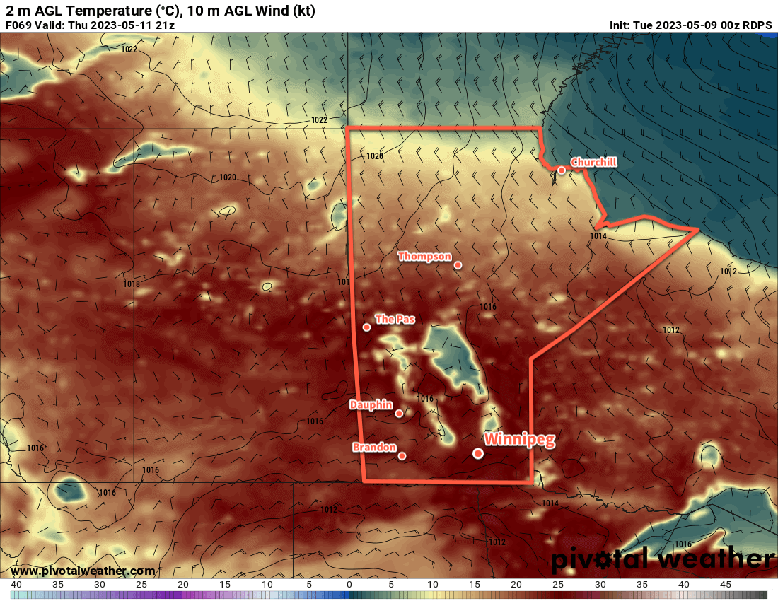
The weather over the next few days will be shaped a building upper ridge over the eastern Prairies. This will settle conditions and push warmer weather northwards. With sunny skies on Wednesday and a bit of cloud on Thursday, temperatures will climb into the mid-20s. In addition to the warmth, dew point values will hover close to 10 °C, making for very comfortable conditions.

Overnight lows will continue to dip into the 10–15 °C range at night. On Wednesday night, there will be a small chance of some showers driven by some weak instability aloft that will persist through the night.

Long Range Outlook

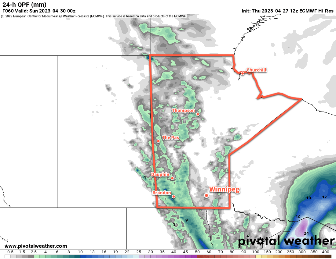
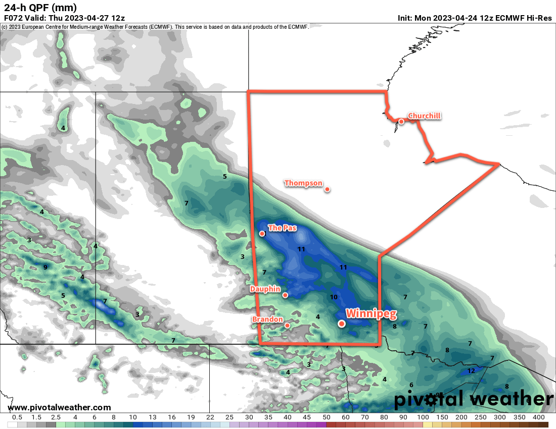
Cloudier conditions will move in for Friday and Saturday in southern Manitoba. A potent low pressure system will spread rain into the northern United States, but a strong deformation zone will keep a sharp cut-off to the rain south of the Canada–U.S. border. The cloud will combine with moderate northeasterly winds to send daytime highs a few degrees cooler; Winnipeg will see daytime highs near 20 °C to wrap up the week.

Sunshine will return ton Sunday as this storm system clears. Temperatures will head back into the mid-20s with the heat persisting into next week.

Today’s seasonal daytime high in Winnipeg is 18 °C while the seasonal overnight low is 4 °C.

Seasonably Cool Weekend Gives Way to Warmer Weather Next Week

Seasonably cool temperatures will stick around for Winnipeg this weekend — along with some unsettled weather — but a big warm up is on the way for next week.

ECMWF 24-hr. Precipitation Accumulation valid 00Z Sunday April 30, 2023
Showers will drop through Manitoba on Friday night into Saturday.

To wrap up the work week in Winnipeg, any morning fog will burn off as temperatures head to a high in the low teens for the afternoon. The region will see mixed skies today with light north-northwest winds.

The next disturbance to impact the region will begin moving in tonight. Skies will cloud up tonight with showers pushing into the Red River Valley from the northwest by morning. Temperatures will head to a low near 2 or 3 °C tonight.

Saturday will bring mostly cloudy conditions to the region with the chance for some sunny breaks in the afternoon. The most organized shower activity will move through the region in the morning, but much of the activity may end keeping west of Winnipeg. Temperatures will climb to a high near 10 °C as northerly winds pick up to around 20 km/h. A few pop-up showers will be possible in the afternoon in the unstable northerly flow that develops.

Skies will clear out on Saturday night with a northerly breeze. Temperatures will dip to a low again in the low single digits.

Sunday will bring partly cloudy skies to the region with a high in the low teens. It will be a breezier day with north winds picking up as high as 30 gusting 50 km/h. It’ll be a cool night on Sunday night with a low near the freezing mark.

Long Range Outlook

Heading into next week, a major pattern change will bring a substantial change to the weather across Manitoba. The cool temperatures of the last while have largely been due to a persistent upper-level vortex over Hudson Bay. Heading into next week, there’s high confidence that feature will finally collapse southwards into Ontario, then shunt eastwards and out of the region.

The upper-level pattern will then begin to reorganize itself over a few days, with the most prominent trend being a building upper ridge over western North America. As a result, by the end of the week, a well-formed upper ridge is forecast over much of the western United States, the Canadian Prairies, and central Arctic.

ECMWF 500mb Heights and Height Anomaly Forecast valid 18Z Wednesday May 3, 2023
A strengthening upper ridge (red shading) will build into western Canada and the Arctic by the middle of next week.

The end result of that will be that next week will see relatively little by way of precipitation and substantially warming temperatures. Daytime highs in southern Manitoba will likely climb into the 20s by Tuesday or Wednesday, followed by highs in the 15 to 25 °C range through the rest of the week.

So after one more weekend on the cool side of seasonal, some spring/early-summer warmth will arrive next week!

Today’s seasonal daytime high in Winnipeg is 15 °C while the seasonal overnight low is +2 °C.

Temperatures Creep Higher as Unsettled Conditions Develop

Winnipeg’s temperatures will warm towards more seasonal values this week, but a few passing disturbances will bring cloudier conditions with a chance of rain.

ECMWF 24hr. Precipitation Accumulation valid 12Z Thursday April 27, 2023
An occluding low pressure system will bring a swath of rain to southern Manitoba on Wednesday.

The weather will turn more spring-like in Winnipeg this week as the northerly flow in place over the region breaks ahead of approaching Pacific disturbances. Daytime highs will immediately respond to this change with highs climbing up into the low teens today. The return to warmer weather will occur under sunny skies and light winds.

The unsettled conditions will arrive mid-week. Skies will cloud over tonight ahead of an approaching low as temperatures dip into the low single digits. On Wednesday, breezy southerly winds will develop, followed by a band of rain that pushes across the Red River Valley. Driven by an occluding low pressure system, the region could see as much as 5 to 10 mm of rain as it moves through. Temperatures will climb to a high near 10°C before cooling off once the rain begins. The rain will taper off by evening, but lingering showers will be possible through the night. The winds will ease Wednesday evening followed by temperatures down into the low single digits.

Cloudier conditions will linger for Thursday as another disturbance drops through the Prairies, but the organized rain with that system will stay further west. Winnipeg and the Red River Valley will see a diminishing chance of showers as the day wears on. Temperatures will again climb to a high near 10 °C with a high north wind picking up through the day.

Long Range Outlook

Some sun will begin to poke out from behind the clouds on Friday with light north winds continuing. Another passing disturbance could bring some flurries late Friday night changing to rain showers on Saturday morning. Daytime highs will hover around 10 °C right through the weekend with lows in the 0 to 5 °C range.

Next week should bring sunnier skies and temperatures finally beginning to climb back to seasonal highs in the mid-teens.

Today’s seasonal daytime high in Winnipeg is 14 °C while the seasonal overnight low is +1 °C.

Snow Gives Way to Sunny but Cool Weekend

Snow will come to an end over the region today as the storm that’s been stalled over the region finally moves east. Sunnier skies will return for the weekend as a high pressure system settles over the province.

RDPS MLSP & 10m Wind Forecast valid 18Z Saturday April 22, 2023
A broad area of high pressure will settle across the eastern Prairies this weekend.

Snow continues to wrap into southern Manitoba this morning, but conditions will improve through the day. As the low responsible for our weather continues to trundle eastwards into Ontario, snow gradually weaken and taper off over southern Manitoba. It will be a bit of a slick and slippery morning as temperatures dip below zero and combine with fairly strong northerly winds near 50 gusting 70 km/h.

Temperatures will rebound to a high of only around +2 °C.

Skies will clear out tonight as winds ease to around 20 km/h. Temperatures will dip to a low in the mid-minus single digits.

For th weekend, a ridge of high pressure will build into the region and bring cool but settled conditions. Winnipeg and area will see variable cloudiness through the weekend with daytime highs in the mid- to upper-single digits. Overnight lows will likely dip into the -5 to -10 °C range.

Long Range Outlook

Next week will start off with quieter weather as temperatures gradually move towards more seasonal values. Some rain may be possible across the region late next week.

Today’s seasonal daytime high in Winnipeg is 13 °C while the seasonal overnight low is 0 °C.