This week will feature more of the same cold weather we’ve seen lately. I’m sure you’re about as enthused to read that as I was to write it.
Early Week Outlook
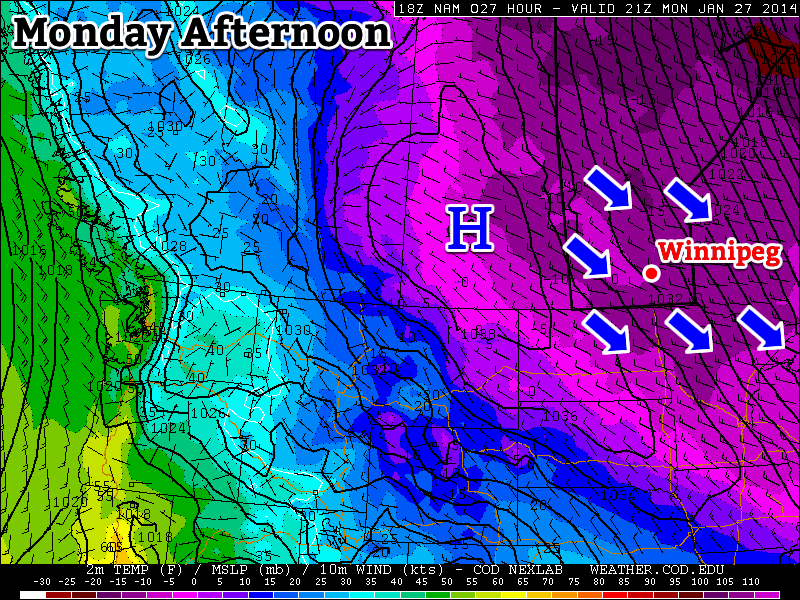
Today will feature slightly below normal temperatures[1]. Highs will be in the mid to upper minus teens in southern Manitoba with fairly light winds. As a result, the wind chill won’t be a big factor.
Tuesday will be a bit cooler than Monday, but not by a whole lot. Temperatures will sit around -20C with wind remaining relatively light once again.
Wednesday will be close to a carbon-copy of Tuesday. The wind will be a bit stronger on Wednesday though, so you may notice the wind chill factor a bit more – but values aren’t expected to reach “extreme” [2] criteria.
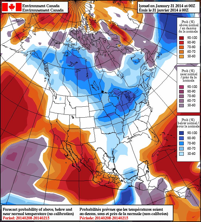
Long Range
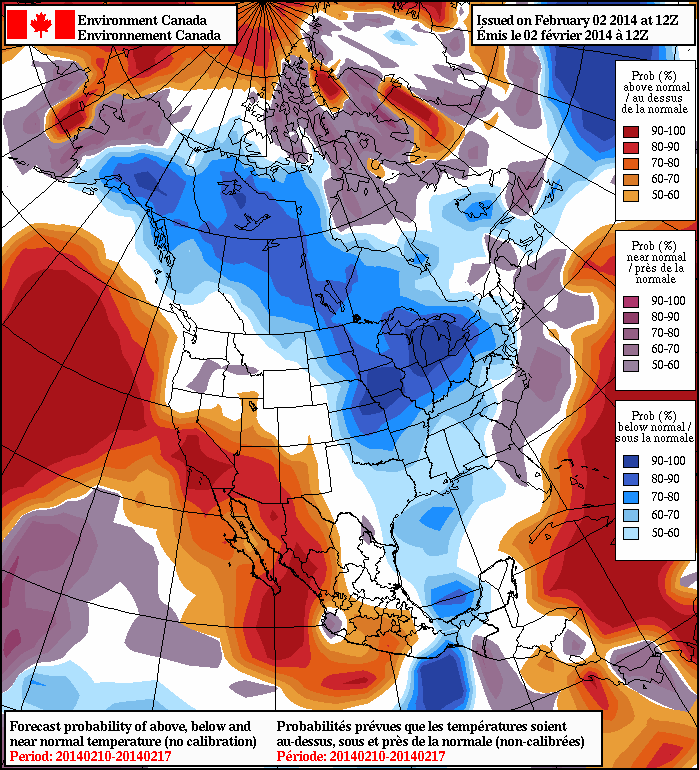
The long range forecast continues to look bleak. Models suggest below-normal temperatures will last through most of the first half of February. There has been some rumblings that the second half of February may feature warmer weather, but that remains to be seen. For the time being, we will remain locked in a cold pattern.