A Cooler End to the Weekend

We’ll see two more days of temperatures near or just above 0°C before a cold front sweeps through Southern Manitoba bringing minimal precipitation and cooler weather.

12hr. QPF valid Sunday morning

Precipitation amounts for Saturday night from the NAM forecast model.

Today and Tomorrow

We’ll be off to a cloudy morning with fog patches through the entire Red River Valley; the fog may be quite dense in some areas, so if you’re travelling be prepared to potentially face near-zero visibilities at times. The fog will lift through the morning and by mid-afternoon the sun should be poking out once and a while. We’ll be on our way to a high of around +1°C with light winds. We’ll see increasing cloudiness tonight as the aforementioned system pushes towards Southern Manitoba. The cloud cover will help us keep our overnight low a bit higher than it has been lately with the temperature only expected to dip down to about -5°C. It’s likely that well see the redevelopment of fog patches again tonight.

Friday

Fog patches lifting this morning with gradual clearing.
1°C / -5°C
Saturday

Fog patches lifting then a mix of sun and cloud.
3°C
Saturday Night

A few flurries with the risk of freezing rain.
-12°C

We’ll see temperatures slowly climb back up above 0°C today as the cold front approaches the Red River Valley. Any fog patches that form overnight will lift fairly quickly in the morning as we head into another nice day with a mix of sun and cloud as the temperature climbs to +2 or +3°C.

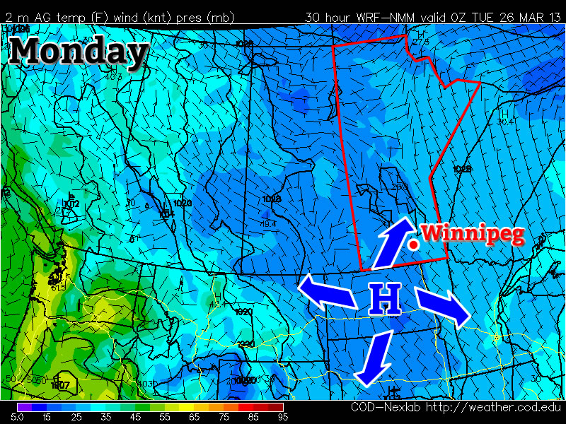
A cold front will sweep across the Red River Valley tonight, bringing some flurries with it. There’s some uncertainty to the distribution of the snow: the models tend to spread it out, but all simultaneously hint towards a narrow band of heavier precipitation setting up. It’s hard to tell what’s going to happen this early, but suffice to say that there will almost certainly be a few flurries with the potential for local accumulations of 2-4cm somewhere in the RRV. In addition to the snow, there will be the potential for some patchy freezing rain as there will likely be some precipitation before all our warmer air aloft is scoured out by the cold front. Accumulations of freezing rain should not be significant, but may be enough to slick up roadways a little.

Sunday

Saturday

Chance of flurries. Clearing.
-6°C / -15°C

There will be a few lingering flurries about on Sunday morning, but they should clear out by midday and skies will then clear out. Sitting on the back-side of the cold front, our temperature will only climb to around -6°C, although it might be a little colder than that if clouds linger further into the day.

It looks like the cold weather will only stick around for a couple days until temperatures rebound back to the 0°C mark.

Pleasant and Warm

At the risk of sounding like a broken record, more of the same is ahead for the rest of the week with daytime highs near 0°C.

Wednesday

Mainly sunny.
-2°C / -12°C
Thursday

A mix of sun and cloud
0°C / -7°C
Friday

Mainly sunny.
1°C / -5°C

We’ll see temperatures climb a degree or two each day through the rest of the week as the sun continues to slowly chip away at the cooler air over the province. The normal daytime high for this time of year is around 3–4°C, so we’ll still remain a little below normal over the next few days. We’ll see some cloud move in tonight, which should help keep the overnight lows from dropping too much. Skies will clear out on Thursday with sunny skies being dominant through the rest of the week. Overnight lows should actually end up moderating a bit as some warmer air pushes in aloft.

This benign weather pattern looks to continue for at least another 7–10 days with no significant weather systems expected to move through Southern Manitoba. This slowly warming, dry weather is good news in light of the most recent flood forecast which has been upgraded to a risk of moderate to major flooding in the Red River Valley.

More of the Same

We’ll slowly warm up this week, but no spectacular weather is in store.

image

Surface temperatures and pressures on Monday (College of Dupage – NAM model)

Monday through Wednesday

Monday
image
Clearing
-3°C / -14°C
Tuesday
image
Mainly sunny
-4°C / -14°C
Wednesday
image
Mainly sunny
-3°C / -12°C

Monday will be another carbon-copy of what we’ve seen a lot of lately. Temperatures will be in the mid minus single digits in most areas, with the exception of forested areas and areas within the cities, where temperatures will be a good five or so degrees warmer than that. There will be a chance of flurries during the morning into the early afternoon before we clear out by later in the day. Tuesday will again be almost identical to Monday – except sunnier – so no further elaboration is needed about that.

Wednesday should see temperatures come up a bit more, with highs in the low to mid minus single digits in most areas. Like Monday and Tuesday, forested and city areas will be a bit warmer than the open prairie, with values around or just above freezing.

Long Range

The long range is neither good nor bad. It looks like we should warm up even more later this week, with more widespread freezing or above freezing temperatures expected. However, further out in the long range models show more cold air dropping south into Southern Manitoba around next weekend, with no more substantial warm-ups currently in the forecast.

Benign Weather Continues

We’ll continue to chip away at the cold air and push towards seasonal temperatures over the next few days as the ridge of high pressure anchored over the province slowly weakens.

Friday

Mainly sunny. Increasing cloud overnight.
-7°C to -3°C / -14°C
Saturday

A mix of sun and cloud.
-3°C / -12°C
Sunday

Becoming sunnier than cloudy.
-3°C / -13°C

We’ll see mainly sunny skies today as temperatures climb from anywhere to -7°C on the northwest side of the city to closer to about -3°C downtown. Some cloud will start pushing into the Red River Valley from the east tonight which will limit our overnight low to only around -14°C instead of dropping back into the -20’s again. Saturday will see more cloud than sun with temperatures climbing to around -3°C and dropping to slightly below -10°C Saturday night. The clouds will start to break up on Sunday; we’ll likely see more sun than cloud through the late morning and afternoon period as the temperature climbs up to around -4°C yet again.

Long Range

Current indications for the next week or so are that not much will change; no large systems are in our forecast which will certainly be a help to the flooding situation. Days just below zero combined with the strong March sun and no additional precipitation are excellent for helping with the potential flood situation by melting the existing snowpack at a gradual pace.