A Brief Warm-Up Followed By Cooler Conditions

Temperatures will briefly warm up on Tuesday before the region transitions into a much cooler pattern.

The city will see mainly cloudy skies today with a seasonably cool high near 12 °C. Winnipeg itself won’t likely see any showers, but lake-effect precipitation will be possible through much of the day in the lee of Lake Manitoba and Lake Winnipeg. Temperatures will dip to a low of only 9 °C tonight with a chance of showers as a warm front pushes through the region.

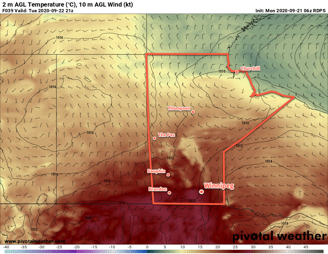
Tuesday will bring some warmer weather back to the region with a high near 18 °C in Winnipeg. There should be plenty of sun with partly cloudy skies after any lingering early-day cloud clears out. Temperatures will dip to a low near 7 °C on Tuesday night.

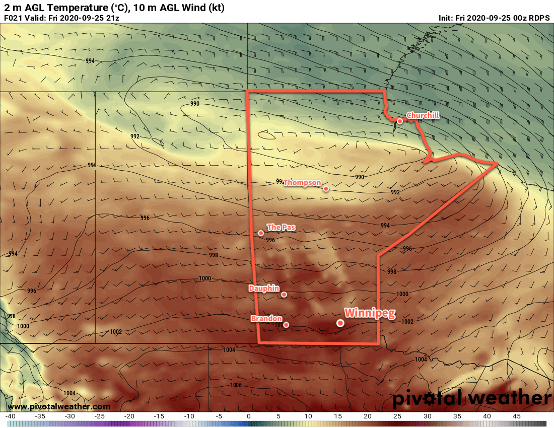
A cold front will usher a notable pattern change into the region on Wednesday. Cloud cover will push southwards into the Red River Valle in the morning, followed by a good chance of showers. Temperatures will climb back to a high near 12 °C. Skies will stay mostly cloudy into the night with a continued chance of showers. Temperatures will head to a low near +3 °C.

RDPS 10m Wind and MSLP Forecast valid 00Z Thursday October 1, 2020
Moderate to strong northwest winds will develop over the Manitoba Lakes and Red River Valley on Wednesday.

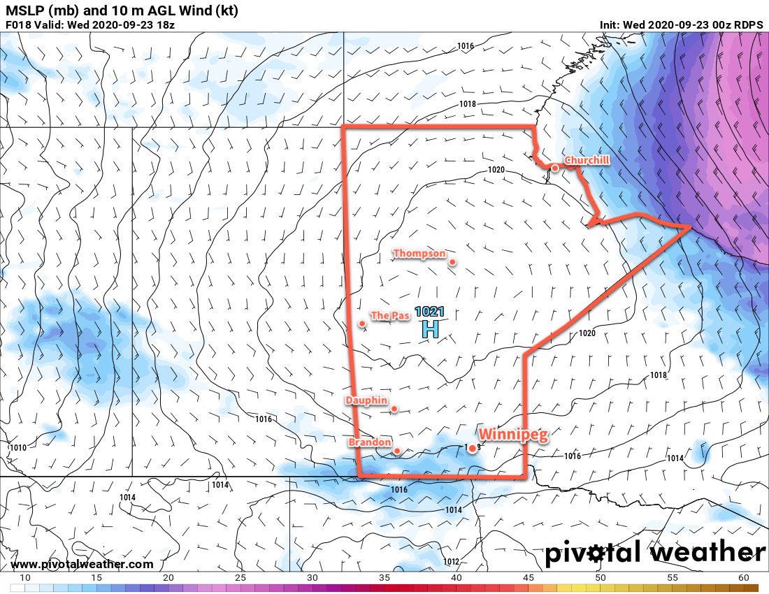
While Winnipeg will see varied conditions over the next 3 days, one thing will be constant: the wind. Each day will see northwest winds pick up in the morning into the 30–40 km/h range. While the winds may be a bit gusty today and tomorrow, Wednesday will bring the strongest winds with gusts of 60–70 km/h possible.

Long Range Outlook

The second half of the week will be quite cool with highs hovering close to 10 °C and overnight lows dipping to around or just below freezing. The city will see mixed to mostly cloudy skies right into the weekend. A return to seasonal temperatures is forecast for early next week.

Today’s seasonal daytime high in Winnipeg is 15 °C while the seasonal overnight low is 4 °C.

Mild End of Week Turns Cooler and Unsettled

Winnipeg will enjoy a couple more days of mild temperatures before a passing low brings cooler and unsettled conditions back to the area.

Today will be the warmest day in Winnipeg for what could end up being a very long time. Skies will clear out this morning then warm up to a high near 24 °C as winds pick up out of the west into the 20–30 km/h range for the afternoon. The wind will ease this evening and temperatures will head to a low near 9 °C. Another low pressure system will move towards the province tonight, pushing cloudy skies into the city by morning.

Winnipeg will see mostly cloudy skies on Saturday, but temperatures will still be seasonably mild with a high near 20 °C. Winds will pick up out of the south to around 30 km/h for the afternoon. As the low passes to the north in the afternoon, a weak cold front will sweep across the Red River Valley. This will usher in a chance of showers later in the afternoon and into the night for the region. Winds will gradually shift to the northwest overnight as temperatures head to a low near 10 °C.

RDPS 2m Temperature Forecast valid 21Z Friday September 25, 2020
The Red River Valley may not see temperatures as warm as Friday again for quite some time.

Sunday will continue to bring mainly cloudy conditions to Winnipeg as another cold front pushes through the area. Northwest winds of 30 gusting 50 km/h will usher seasonal temperatures back into the region. As a result, Winnipeg will see a comparatively cool high near 15 °C. There will likely be a few showers throughout the day as well. Plenty of cloud will linger into the night as the winds taper off and temperatures head to a low near 6 °C.

Long Range Outlook

Next week will bring seasonal temperatures to the city with highs in the low to mid-teens and lows in the low to mid-single digits. Lake-effect showers will persist in the lee of the lakes through the first half of the week, and more rain is possible Tuesday into Wednesday. Fall has arrived in full!

Today’s seasonal daytime high in Winnipeg is 16 °C while the seasonal overnight low is 4 °C.

Cooler, Cloudy Wednesday Followed By Sunnier, Warmer End of Week

A weak disturbance will bring slightly cooler and cloudier weather to Winnipeg on Wednesday, but mild temperatures quickly return.

Two features will combine to bring a change in the weather to Winnipeg today. The first is a large area of high pressure tracking across the Prairies that will sprawl across Manitoba today. It will bring dry northerly winds of 20–30 km/h to the region today and cooler highs in the upper teens. The second is a weak mid-level disturbance that will move through the area. It will spread cloud cover into the Red River Valley through the morning and bring a chance of showers for the afternoon hours.

Skies will clear out in the evening with easing winds. A ridge from the high pressure system over the province will move into the Red River Valley overnight, sending lows to a seasonably chilly +3 °C.

RDPS 10m Wind and MSLP Forecast valid at 18Z Wednesday September 23, 2020
A sprawling high pressure system will bring slightly cooler temperatures to southern Manitoba today and tonight.

The warm weather quickly returns to the region on Thursday as another low begins pushing eastwards across the Prairies. Winds will pick up out of the south into the 20–30 km/h range in the afternoon as temperatures climb to a high near 23 °C. A warm front will approach through the day, bringing partly cloudy skies to the region.

Skies will stay cloudy overnight with a chance of showers as a trough and cold front successively move through the area. The combination of cloud cover and persistent south wind will keep temperatures mild with a low near 14 °C.

Friday will be another warm day in Winnipeg. The city will see a high near 24 °C with a westerly wind near 20 km/h and partly cloudy skies. Not much else to say about the day; it’ll be a nice one! Temperatures will dip to a low near 10 °C under partly cloudy skies on Friday night.

Long Range Outlook

Winnipeg will see a mild weekend with highs near 20 °C and lows around 9 °C. Both Saturday and Sunday should bring partly cloudy skies with a slight chance of rain showers on Saturday. On Sunday night, a low will begin moving through the region, bringing rain through the region and ushering in strong northerly winds and a return to seasonal temperatures.

Today’s seasonal daytime high in Winnipeg is 16 °C while the seasonal overnight low is 5 °C.

A Mixed Bag, But Staying Warm

Winnipeg will see a variety of weather conditions over the next few days, but the early-fall warmth will continue through much of the week.

Winnipeg will start the week with windy conditions as a large low pressure system passes by to the north. The city will see mainly cloudy skies today with west-southwest winds of 40 gusting 60 km/h. Temperatures will climb to high near 22°C. The city will see a slight chance of a passing shower, but most of the rain should keep to the north. The cloud cover will being exiting the region late in the day, leaving the city with clear skies tonight. Winds will ease and then shift southerly overnight as temperatures dip to 7°C.

Summer-like warmth returns on Tuesday as southerly winds of 20–30 km/h send highs into the upper 20s. Winnipeg will see mainly sunny skies and a high near 28 °C. Winds will ease in the evening then shift northerly overnight as temperatures head to a low near 13°C. Some cloud associated with an approaching cold front will push into the area overnight.

RDPS 2m Temperature Forecast valid 21Z Tuesday September 22, 2020
Summer-like heat will return to southern Manitoba on Tuesday.

On Wednesday, Winnipeg will once again see mostly cloudy skies and a chance of rain. The interplay between a cold front pushing south and an organized disturbance sliding through North Dakota will be the features that create the weather. Temperatures will be a bit cooler, but still seasonably mild with a high near 19°C. Northerly winds will persist through the day at 20–30 km/h as well. The winds will ease on Wednesday evening as skies clear and temperatures will head to a low near 7°C.

Long Range Outlook

Milder weather returns for the rest of the week with highs again returning into the low 20s. The city will see variable cloudiness with another chance for some rain on Thursday night as another disturbance moves through the region.

Today’s seasonal daytime high in Winnipeg is 17 °C while the seasonal overnight low is 5 °C.